Last Updated on 25th April 2022
From SLAM to 3D Model
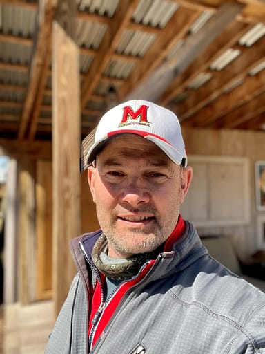
Laser scanning with Pointknown CEO Jim Foster
Biography
Jim Foster has worked in the surveying industry for over 18 years, building a well-respected company with high-profile clients from all over the United States. Originally the owner of a product design company, Jim saw the opportunity to begin a new adventure in the world of surveying and has never looked back.
Pointknown (formerly InterioReview) provide 2D and 3D documentation with accurate information and digital models, to their clients. In recent years, Jim started using GeoSLAM devices to help capture 3D pointcloud data. The data is then utilised to create precise 3D models in Revit. This workflow has made his turnaround on work quicker and more cost effective.
In this blog Jim talks through his history with GeoSLAM, why he believes handheld scanning is the right tool for his business, as well as a recent example of a project his company has been working on.
GeoSLAM at Pointknown
Back in 2014, a representative for GeoSLAM visited my office with the GeoSLAM ZEB1, claiming the handheld SLAM device was revolutionary in capturing accurate data without needing to use a terrestrial scanner. Due to my initial scepticism, I asked him to complete a scan of my office because I have the measurements down to the 1/16. He scanned the office and processed the data before I could finish a cup of coffee, and I brought the pointcloud into Revit on top of the data we already have. The data was so surprisingly accurate I did not let the rep leave with his demo unit purchasing it there and then, and it was in the field the next day.
We used the ZEB1 for years before purchasing a ZEB Revo, and more recently a ZEB Horizon. Our confidence with the scanners has only ever grown with each new model, and now the vast majority of our 3D models are created from a pointcloud generated by a GeoSLAM scanner.
Handheld scanning Vs terrestrial scanning
When we first started using SLAM scanners, we would still capture the space using our older ways of working, due to the initial scepticism, however we were noticing that the SLAM data could not only be captured significantly faster, but it was also coming in tight. We could have actionable scan data in less than half a day, where it used to take us significantly longer using a terrestrial scanner along with other field methods.
Nowadays, SLAM scanning makes up most of our work and we will only use a scanner alongside the Horizon if a client asks for sub 1cm granularity of data. Our clients are often interested in the output and not so worried about how we get there, so long as the 3D model they receive at the end is accurate for what they need it for – a handheld scanner can deliver that.
SLAM
As I mentioned, GeoSLAM scanners are utilised on most of our jobs, which is fantastic. Due to the rate of capture, my field technicians can work on scanning several projects a day. In addition, because the SLAM scanners are easy to use, I can train new members of the team to a point where we are happy to send them out in the field, very quickly. I no longer need to rely on using specialists trained on a variety of hardware, software and varying field techniques to accurately measure a building for me anymore.
Whether it is as-built survey modelling or 3D laser scanning, the use of GeoSLAM scanners has revolutionised the way we accurately capture space and can assist in helping owners and developers understand their spaces in a quick and efficient manner. Here is a recent example of a scan we conducted using the ZEB Horizon for a house that is due to be renovated.

Jim Foster
Pointknown | CEO