Last Updated on 6th June 2022
Meet the ZEB Vision and Connect 2.1 Software
Introducing the ZEB Vision alongside our Connect 2.1 updated software
Having recently introduced our new ZEB Vision panoramic camera, we are now launching the latest update to our software platform, Connect 2.1.
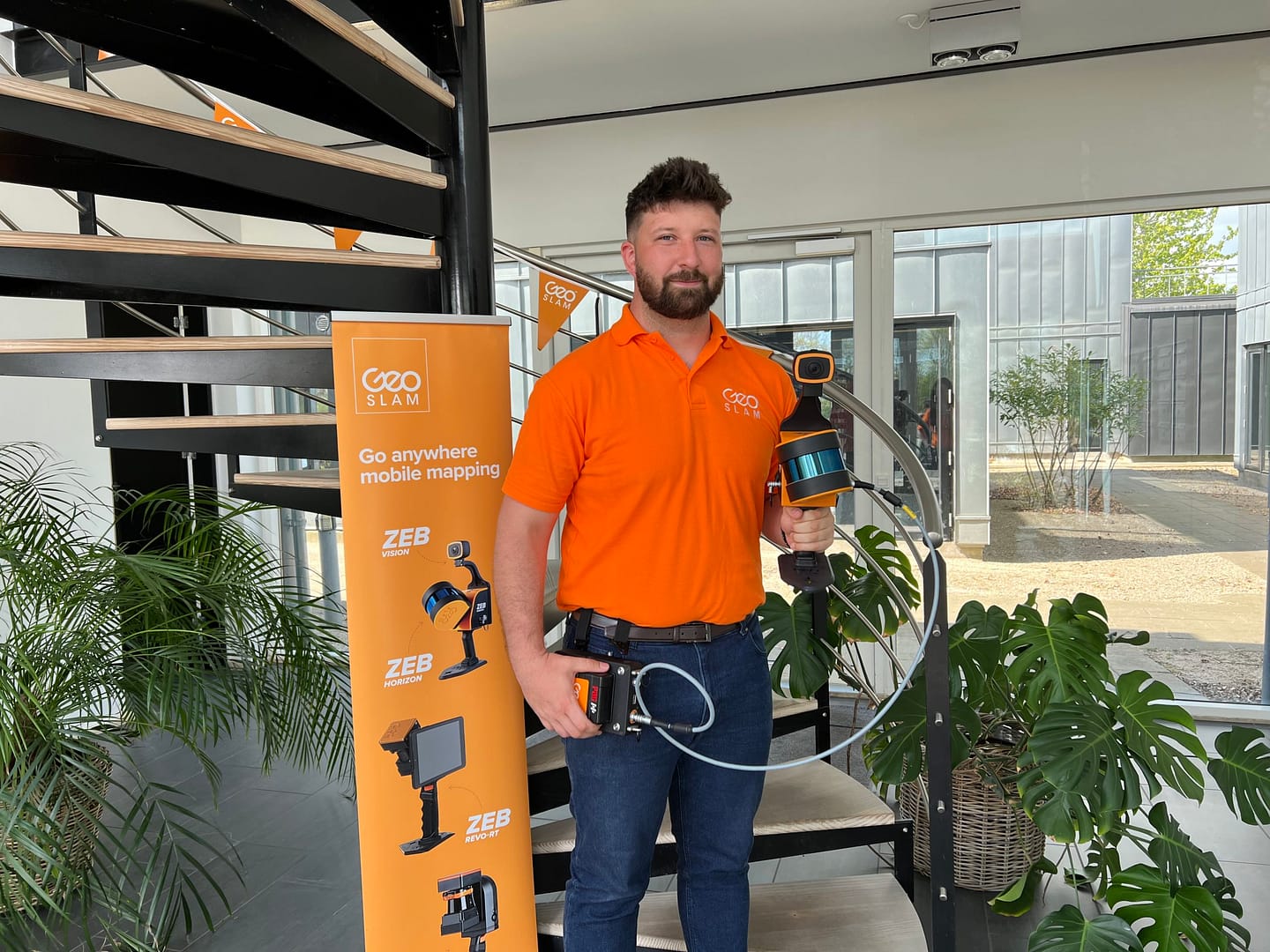
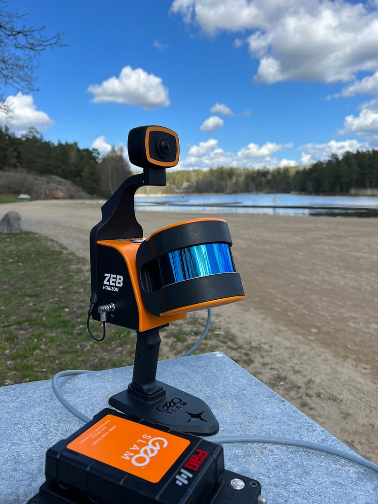
The ZEB Vision is the newest accessory to the ZEB Horizon scanner and can be used handheld or as a backpack solution. The Vision’s 4K resolution and 360o panoramic image capture add new perspectives to visualising point clouds. These images are automatically taken by the ZEB Vision as the scan is being carried out, which saves time whilst on site.
By using the ZEB Vision alongside Connect 2.1 you can easily colourise data, without having to use third-party software. Immersive walkthroughs, another new addition to this workflow, allow you to have a greater understanding and visibility of the data capture environment. This means multiple people can clearly view the data, without having to carry out the scan themselves.
Being able to add context to data, through colourisation and image capture, is invaluable, particularly for those working in the surveying, architecture and infrastructure sectors, where the extra details can make all the difference. We are working hard to make capturing geospatial data as easy as possible, from our walk and scan method of data collection to automated workflows. Teaming the ZEB Vision alongside our Connect software will simplify this process even further.”
– Dr Neil Slatcher, Chief Product Officer
The new automation options available in the ZEB Vision and Connect 2.1 workflow
However, colourisation and immersive walkthroughs are not the only new automation options that GeoSLAM customers can now use. Other new features include:
Automatic Data Cleaning
A range of new data filters and classifiers have been introduced within Connect 2.1. This gives greater point cloud clarity by removing outliers and other unwanted points such as people and vehicles.
Measuring Tool
Measure distances between points within any dataset for quick and accurate analysis.
Existing GeoSLAM customers with a Care subscription can freely update to Connect 2.1, and any new products shipped come with the software, which provides you will full ownership of your data.
Contact us
Submit your details in the form below and we’ll be in touch shortly


