What Is BIM?
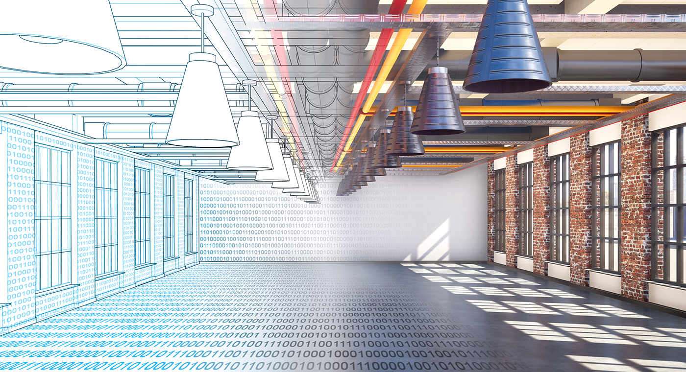
Building Information Modeling (BIM) is a process of managing information on a project in the architecture, engineering, construction and operations (AECO) industry. A standardized digital plan with a 3D model of the project, BIM allows multiple stakeholders to work collaboratively from one source of truth. Changing one aspect of a 3D model, like moving a door or window, changes it for all stakeholders with access to the plans. This level of cooperation among architects, consultants, builders or contractors elevates the design, delivery and maintenance of building projects.
A parametric 3D model is a backbone that most other data connect to or reference. The model can come from a design of a new asset during the planning stages or because of a scan-to-BIM process, which is usually the case for an existing asset.
Modern technologies have moved the industry from drawn plans and low collaboration to fully integrated digitized plans with high collaboration.
- Level 0: Low Collaboration
- Level 1: Partial Collaboration
- Level 2: Full Collaboration
- Level 3: Full Integration
Data comes in the form of computer-aided design (CAD) drawings. Sharing paper drawings makes collaboration difficult or non-existent.
Level 1 requires a common data environment (CDE). This level uses 2D and 3D CADs, and it is often sufficient for smaller building projects.
Level 2 includes additional dimensions such as budget calculation and time management. Stakeholders working on a level 2 project should have access to all available information in a common file type that holds all the design information.
The vision for Level 3 BIM is to have open data sharing that is accessible and changed by all stakeholders through the planning, construction and operational stages. The goal is to be fully integrated.
Why Is BIM Useful?
- Higher Levels of Efficiency
- Cost-Effective
- Virtual or Augmented Reality
- Digital Record Keeping
- Greater Results
Greater visualization of plans before construction begins provides architects with the chance to alter plans and contractors to estimate costs for works.
All stakeholders are working on an up-to-date 3D model, reducing the chance of errors.
BIM itself is not a cost-saving exercise, but the results of a more collaborative approach to ways of working result in money saved. The more BIM is used, the more cost-effective a project can be. Clear 3D models, instead of drawn blueprints, reduce change orders and offers better collaboration and coordination between trades from one centralized source of truth.
Virtual or augmented reality technologies pair with BIM, providing greater clarity of the final product to all stakeholders. In addition, clients can virtually walk around the 3D model, providing a greater level of customer service.
It is a helpful process during a construction project, but it does not stop there. Good digital record keeping means that future facility managers or renovators have a clear lifecycle for a project, from conception to completion.
Planning, designing, building and operating construction projects is easier with BIM. Detailed insights throughout the whole process and beyond allow for a higher quality of finish and significantly greater results.
What Is Scan to BIM?
Scan to BIM is a method used to describe capturing a space (usually with LiDAR or similar technology) and turning it into a digital 3D informational model for BIM. This can be used for designing, planning, monitoring or managing a built environment, as well as communicating and sharing information with all project stakeholders.
Why Use LiDAR for Scan to BIM?
The primary benefit of Scan to BIM is making sure that you are working, designing and making decisions from an accurate model, not something that you are assuming is accurate like existing plans. It adds accuracy and a source of truth to the beginning of the project. A big challenge of scan to BIM is the time it takes for field capture and creating the model. Mobile LiDAR reduces the time it takes to capture accurate point cloud data.
How to Best Use Scan to BIM?
One of the best ways to maximize the impact is to use scan to BIM on all stages of a project, right from the beginning. This has a range of benefits, such as:
- It can decrease change orders.
- It reduces risk by ensuring as-built drawings are correct — if caught earlier it can save wasted time and money.
- Clash avoidance runs analytics on model vs. model or model vs. point cloud to see if elements intersect/clash.
- When renovating, you can create drawings of spaces, avoiding future costs based on unknowns revealed once work has commenced.
“What really stood out was the quality of information captured and incorporated into a BIM representation using Autodesk® Revit® software. It enabled us to achieve a level of accuracy that would have been impossible with manual techniques.” — Paragram, BIM Technology Consultant