Specialists in SLAM, 3D scanning and LiDAR, GeoSLAM are committed to bringing the best handheld scanning solutions to Canada.
GeoSLAM makes it easy to capture and connect data from the world around us. From the built environment to the natural world, GeoSLAM technology gives people the power to collect geospatial data from some of the most difficult environments, whether they are indoor, outdoors, underground – everywhere.
GeoSLAM is the market leader in SLAM technology.
Rapid Scanning
Within minutes you can be collecting data with our handheld LiDAR scanners, and our intelligent software can map a 3-storey building in just 10 minutes to an accuracy level of 15mm.

Go-anywhere mapping
The versatile 3D mapping laser technology is adaptable to any environment in all industries, especially complex and enclosed spaces, without the need for GPS.
Saving time & money
You can capture and model complex data up to 10 times faster, enabling you to successfully complete projects in minimum time with little or no disruption at the project site.
User Friendly Software
Quick and easy workflows with drag and drop functionality, produces results in minutes. SLAM processing generates accurate 3D point clouds from your data.

Proven Technology
We have a strong track record of designing game-changing technology, applauded by industry experts and sold in over 70 countries.
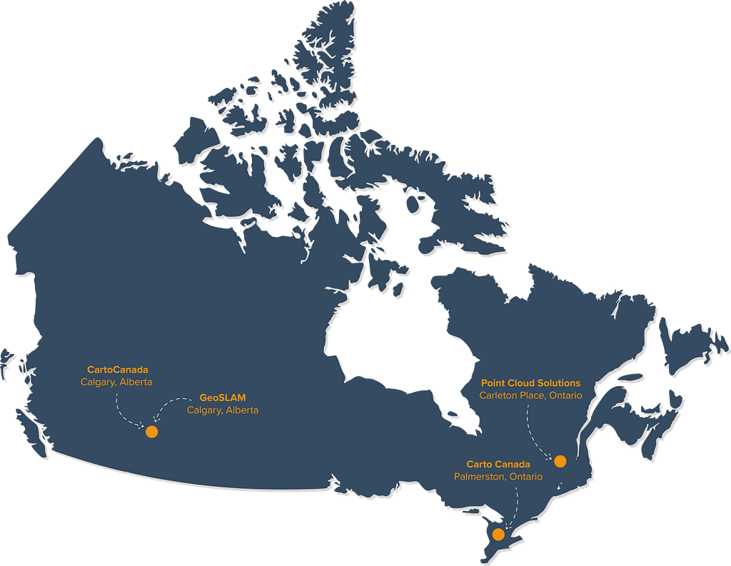
Meet the team
Whether you need solutions for traditional surveying, education, construction, mining or any industry we have an expert team ready to help. Not only do we have a specialised Channel Manager leading up the Canadian team, but we also have two authorised dealers. Together they work to distribute GeoSLAM throughout the provinces, helping customers to work faster and simpler by using SLAM.

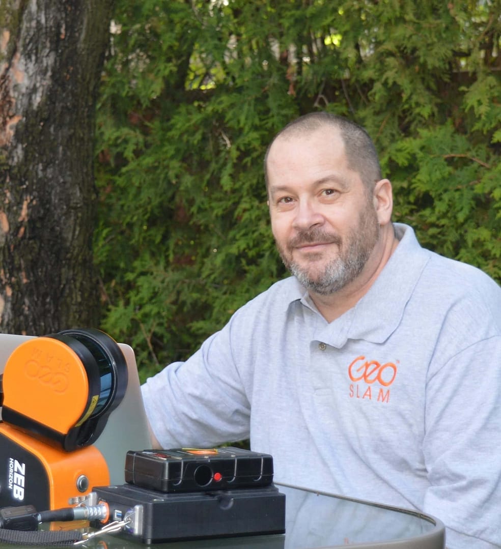
Matt Teppler | GeoSLAM Canada Channel Manager
Matt is our GeoSLAM Canadian sales manager based out of Calgary, Alberta. He has a BSc in Geography from the University of Calgary. With over 18 years of experience working for Geomatics suppliers – he brings a wealth of survey and scanning knowledge for GeoSLAM across Canada.
CartoCanada | Dealer
CartoCanada is a leading provider of fixed wing drones with offices in Alberta and Ontario, Canada. Through their leading sales and support team, they have extensive experience providing solutions to mining and drone customers across Canada.
Point Cloud Solutions | Dealer
Point Cloud Solutions were the first GeoSLAM distributor in Canada and have successfully helped many businesses in surveying, mapping, and scanning needs. Registered as importers of equipment they are successful vendors to government, education, and enterprise in Canada.
Get to know our products
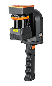
ZEB Go
If you’re looking for a reliable way to map and understand spaces, meet the ZEB Go – your first step in SLAM handheld technology.
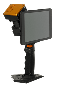
ZEB Revo RT
Handheld, lightweight and easy to use, the ZEB Revo RT allows you to build highly accurate 3D models within minutes, while on the move.
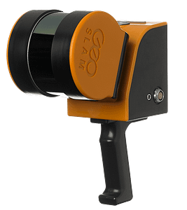
ZEB Horizon
With a range of 100m, the ZEB Horizon is great for outdoor use. Its lightweight and compact design also make it perfect for indoor surveys.
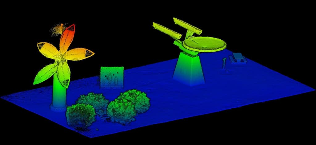
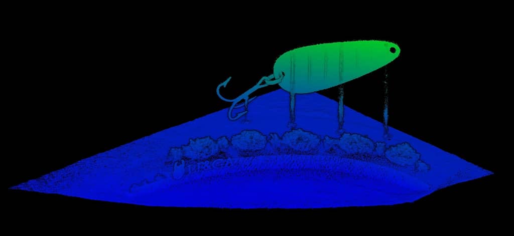
GeoSLAM in action
Take a look at a small sampling of scans from various locations in Canada.
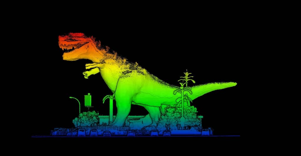
Scanning the World’s Largest Glacial Erratic, ‘Big Rock’ in Okotoks, Alberta
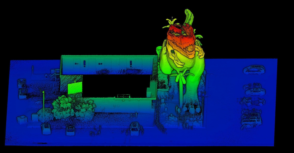
Métro De l’Église in Montréal
Scanned in 16 minutes with the GeoSLAM ZEB Horizon
Studio Bell
Scanned in 10 minutes with the GeoSLAM ZEB Horizon
Calgary Public Library
Scanned in 7 minutes with the GeoSLAM ZEB Horizon
Trusted by thousands of companies, including:


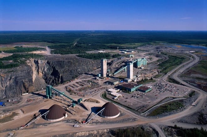
CASE STUDY | Kidd Mine, Glencore
With the aid of GeoSLAM’s 3D mapping technology, the mine is able to assess risk associated with ground and support systems failure, magnitude seismic events, large-scale deformation or rock bursts associated with mining at extreme depths.
Location: Timmins, Ontario
Industry: Mining
Scanned: Base metal mine
Scan Time: 15 mins per scan
News
Keep up to date with the latest news and thought leadership from GeoSLAM.
GeoSLAM welcomes CartoCanada to the dealer network.
GeoSLAM is excited to announce the addition of CartoCanada to our worldwide dealer network….
GeoSLAM’s Big tour of Canada
GeoSLAM’s Big tour of Canada Channel Manager for Canada, Matt Teppler (based…
GeoSLAM comes up tops in world’s deepest mine
When creating underground mapping for mines, mining engineers are often faced with…


