History, Geo-tourism & science
Discovered in 1804 by Bernard Weyer in central Shenandoah Valley, Grand Caverns (formerly Weyer's Cave) is the oldest show cave, meaning it is accessible to the public, in the USA. During the US Civil War, both Confederate and Union soldiers found refuge in the cave as part of the Valley campaign. More recently, the cave has become a significant tourist attraction, due to its history and scenic location. Additionally, it has recently captured the attention of the scientific community due to discoveries of new passages and rock formation changes over time.
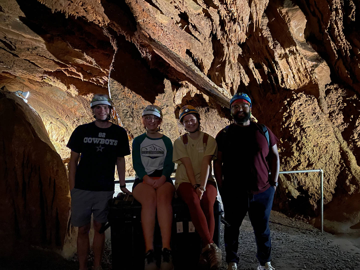
The town of Grottoes partnered with Dr. Angel A. Garcia Jr. and his students from James Madison University to create a 3D map of the cave. The primary use of the 3D data was to measure Speleothems, mineral deposits formed within underground caverns. In addition, the data was able to help highlight the human impact on the cave and celebrate its extensive history. It's also a unique opportunity for undergraduate students from JMU to gain hands-on experience with a LiDAR scanner and the chance to analyze real-world data.
Why mobile LiDAR scanner was the optimal solution
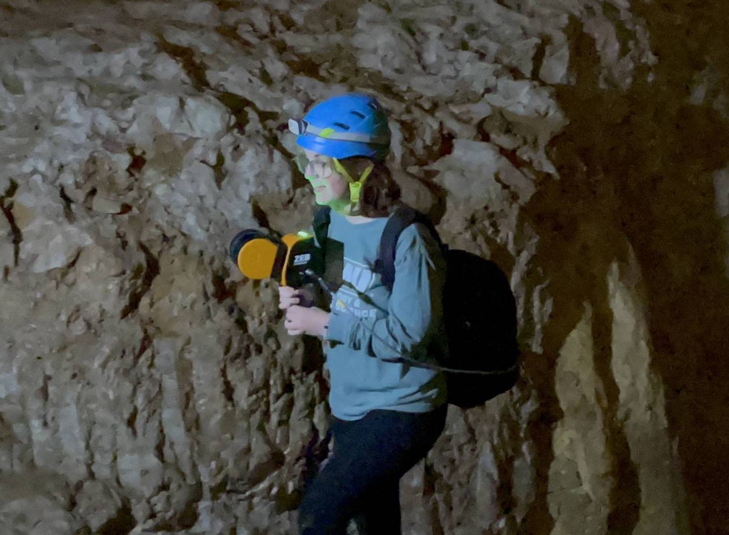
Dr. Garcia Jr. chose to use a mobile LiDAR solution to map both the parts of the cave open to the public and the recently discovered passages. A mobile mapping solution afforded the team more time for analyzing the 3D data due to the speed of capture compared to static scans. Additionally, the repeatability of data capture is possible due to the light weight nature of the equipment. Other methods of data capture would likely result in the busy tourist attraction closing or reducing the number of tourists that could visit in the day of the scan.
“With the LiDAR we'll be able to get into corners and see what hasn't been looked at for a long time.” - Dr. Angel A. Garcia Jr.
Having originally purchased a SLAM solution in 2021 to collaborate and share data with partners scanning caves in Puerto Rico, Professor Garcia saw the potential and opportunities the scanner offered. Mobile LiDAR capture provides an avenue for his students to explore modern ways of 3D data capture in a practical use environment. The ability to scan in GPS-inaccessible areas further benefits Dr. Garcia, as the bulk of his work is in caves.
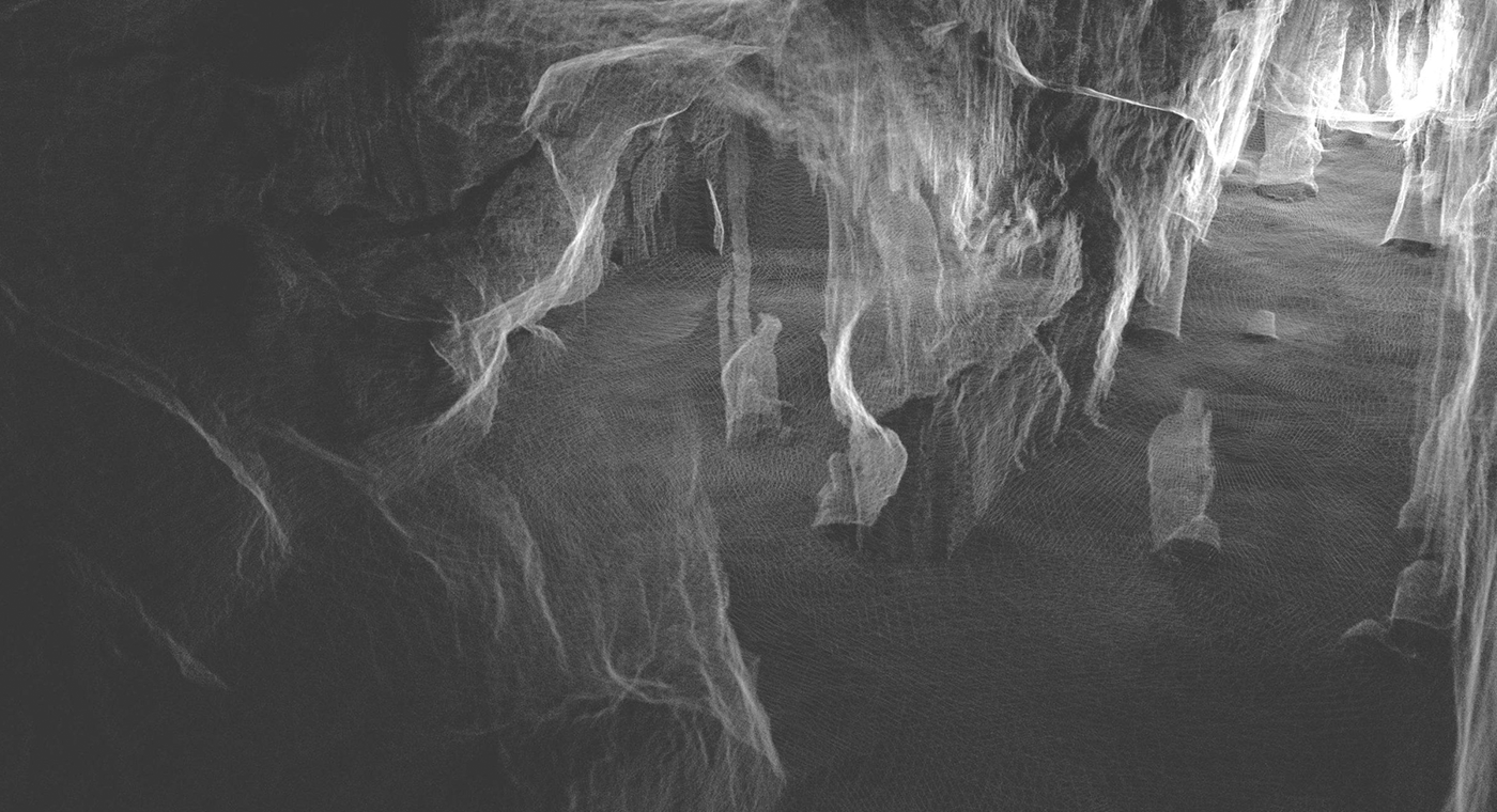
The public area of the cave is approximately 500 meters in length, 30 meters high, and has a variety of stairways. Dr. Garcia and his students captured the entire public area in approximately 15 minutes, by walking and scanning the length of the cave. The SLAM scanner could identify and accurately map the important parts of the cave needed for the research.
“It could detect the stalagmites, the stalactites, and it even detected the cave shield because it's that precise.” - Dr. Angel A. Garcia Jr.
During analyses, the students can review the orientation, thickness, and gather measurements from the caves using the LiDAR data. They are also hoping to understand the accurate dimensions of the mapped area.
The team continued to scan the cave over the summer of 2021, and Dr. Garcia is working with the caving/spelunking community to begin capturing the problematic and recently discovered passages. Public access to these passages isn't possible due to uneven surfaces and narrow corridors. The SLAM solutions mobility should make the data captured in these areas a simpler task than previously thought.
As a result of his use of SLAM solutions, interest in Dr. Garcia's work has increased and he has subsequently presented his work to other universities and run workshops. He concludes by saying that the 3D model will provide an opportunity for those who can't physically enter the caverns, to learn about its geology and history.