ZEB Horizon hits the road
ZEB Horizon Vehicle mount – available now! The ZEB Horizon can be… Read More »ZEB Horizon hits the road
With mobile mapping technology readily available, anyone can effortlessly map the world… Read More »Point Clouds for Beginners – We answer your questions
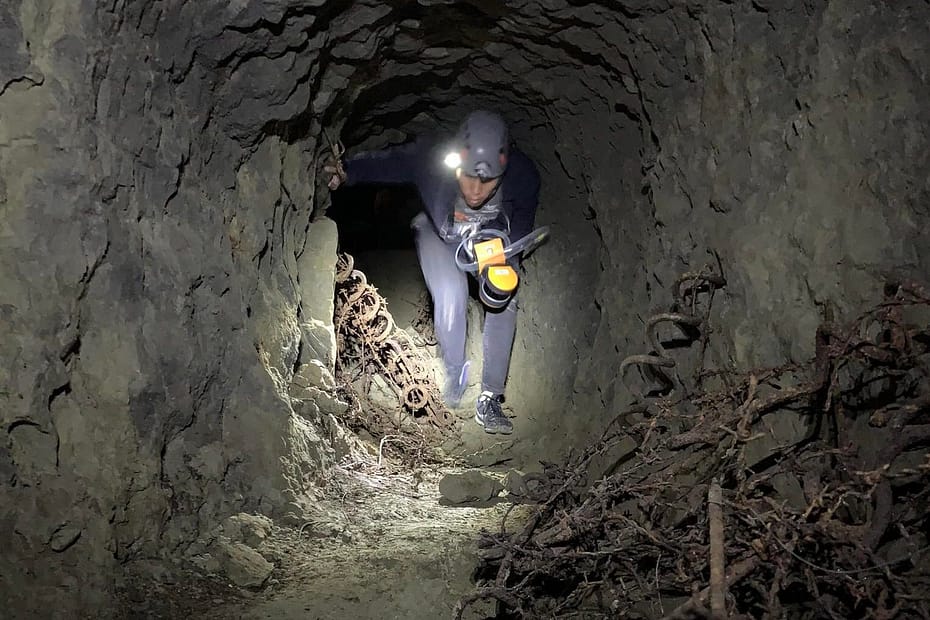
The underground world has always captured our imagination and stories abound about… Read More »Discovering New Zealand’s Underground Heritage
In the series of profiles on the team here at GeoSLAM, Gabriel… Read More »Getting to know you: Gabriel de Barros Praxedes
How GeoSLAM’s mobile technology collates forest resource information for Australian National University… Read More »Mapping Trees on the Move
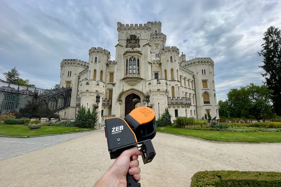
Mapping historic sites can prove challenging for surveyors mainly due to lack… Read More »Invading a 19th century fortress with GeoSLAM
We’ve seen almost every country go into some sort of lockdown during… Read More »GeoSLAM celebrates record sales with Chinese dealer Scanner (Beijing) Science and Technology
The Grand Canyon National Park is a 1,901.972 sq mile square park… Read More »Scanning the Grand Canyon
Last week the UK Government announced a £2 billion package to encourage… Read More »Urban mapping opportunities with UK Government
In this blog, Robert Vargo, Northeast Mobile Imaging and GIS Consultant at… Read More »Q&A with Robert Vargo, of GeoSLAM dealer Keystone Precision Solutions
Canadian 3D geospatial experts Smarter Spaces engaged in a partnership with the… Read More »Scanning a Hydroelectric Dam with ZEB Revo