
The SLAM Revolution
For anyone interested in digitizing the world around them, SLAM has been a game-changer. But what exactly is this technology, how does it work and what's the right SLAM for you?
It wasn't until the late 1980s and the introduction of commercially viable GPS systems that Lidar data became a useful tool for providing accurate geospatial measurements. Since then, research and development have rapidly advanced and improved Lidar technology.
What is SLAM?
SLAM stands for Simultaneous Localization and Mapping (sometimes called Synchronized Localization and Mapping). It is the process of mapping an area while keeping track of the location of the device within that area. This is what makes mobile mapping possible, allowing the digitization of large areas in much shorter spaces of time. SLAM systems simplify data collection, providing an avenue for scanning outdoor or indoor environments.
Complex Algorithms That Map An Unknown Environment
Using SLAM software, a device can simultaneously localize (locate itself in the map) and map (create a virtual map of the location) using SLAM algorithms.
Basic Positional Data, Using An Inertial Measurement Unit (IMU)
Using this sensor data, the device computes a 'best estimate' of where it is. The collection of new positional information occurs every few seconds, features align, and the estimate improves.
There Are Many Different Types Of Algorithms and Approaches To SLAM
- Graph SLAM
- EFK SLAM
- Fast SLAM
- Topological SLAM
- Visual SLAM
- 2D Lidar SLAM
- 3D Lidar SLAM
- ORB SLAM
Mobile mapping devices use Visual and Lidar SLAM to produce point clouds.
What Is Visual SLAM?
Visual SLAM calculates the position and orientation of a device with respect to its surroundings while mapping the environment at the same time, using only visual inputs from a camera.
Feature-based visual SLAM typically tracks points of interest through successive camera frames to triangulate the 3D position of the camera. This information builds a 3D map.
What Is Lidar SLAM?
A Lidar-based SLAM system uses a laser sensor to generate a 3D map of its environment. Lidar (Light Detection and Ranging) measures the distance to an object by sending a light pulse, bouncing it off the object back to the sensor, and recording the Time of Flight (ToF).
Lidar is fast, accurate, and ideal for a wide range of environments and conditions. The laser sensor point cloud generated from this method is highly accurate and is ideal for several industries.
How Mapping Has Changed
For anyone involved in the acquisition of geospatial data, SLAM is a significant game-changer due to its versatility. It complements other forms of 3D Lidar data capture, like terrestrial laser scanning, filling in the gaps for hard-to-reach areas.
Go-anywhere mapping - simply walk through an environment, building a digital map as you go.
What's The Right SLAM For You?
If you want to create a highly accurate 3D map fast, for example, you'd get the best results with a Lidar SLAM. But if you want SLAM for computer vision (Augmented Reality) then Visual SLAM is the better option.
Here are five areas to consider:
- Speed and accuracy
- Quality distortion
- Flexibility and deployment
- Real-time data capture
- Usage in multiple environments
Constant Improvement of SLAM
Testing SLAM technology in notoriously difficult scanning environments, such as repetitive corridors, smooth-sided tunnels, and spaces with moving people, helps to refine, hone, and push its limit. The result is a constantly improving SLAM algorithm, one that is so robust that it now works equally well in outdoor open environments as it does indoors.
What Are The Benefits Of Using SLAM?
SLAM-based systems are inherently mobile - they are at their best when used on the move. With a SLAM mobile mapping system, it's possible to simply walk through an environment building a digital map as you go, saving time and providing a cost-effective solution. A SLAM-based mobile mapping system is 10 times faster at acquiring data.
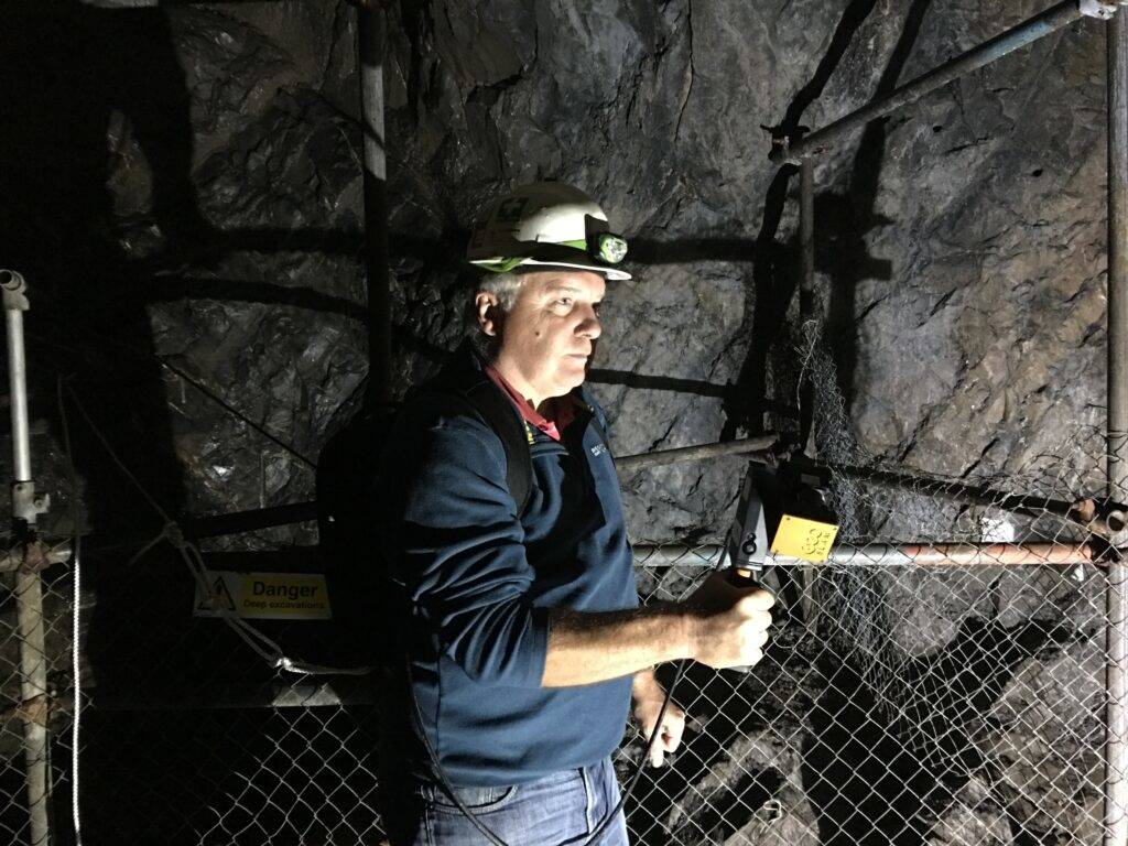
SLAM In GPS Denied Areas
GPS requires a line of sight to at least three satellites to function, therefore doesn't work underground or indoors. Additionally, environments like dense forests prove difficult to map, as tree canopies block the line of sight to the sky, and urban canyons or tall buildings block signals in built-up areas too. SLAM technology overcomes these obstacles by cutting out GPS altogether.