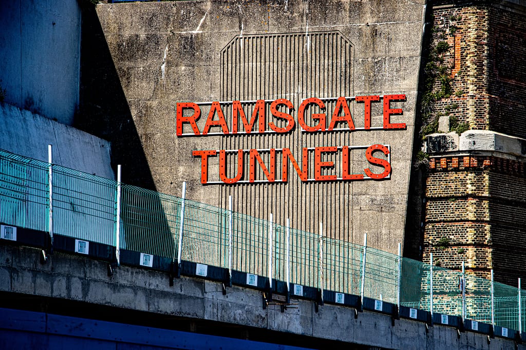
Historic England map out damaged Ramsgate tunnels for redevelopment

Location
Ramsgate,
UK

Scan time
10 mins per
scan

Size
1km in
length

Scanned
Underground
tunnel

Industry
Conservation
ZEB Horizon I Mapping underground WWI tunnels
There is no doubt that historical projects hold great significance for a location’s cultural heritage and its people. This is the fundamental concept that Historic England apply in their protection and conservation of sites that define English history and the nation itself. They work within communities and alongside specialists to share their knowledge and skills so that everyone can enjoy and maintain the history that surrounds us.
This is evident in Historic England’s Ramsgate Tunnels project, a five-kilometre network of underground passageways which were paramount to the war effort and the safety of local people of Ramsgate, Kent.
Ramsgate Tunnels were once used as an underground narrow-gauge railway, built to connect the town and docks to help improve trade links to Europe. However, the railway soon became a target for enemy bombing. To combat this, it was decided that the network of tunnels should be adapted to protect the people of Ramsgate, and work on this began in 1939.
“GeoSLAM technology was at the top of our list to scan the underground network, primarily due to its long range capabilities”
After falling into disrepair, leaving behind a long-existing collapse in one area of the tunnels, our team at Historic England was invited to work alongside Ramsgate’s Heritage Action Zone in order to redevelop the area’s much-loved historical sites. Enlisting the help of GeoSLAM’s ZEB Horizon to provide a preliminary map of the damage, plans were put in place to assess tunnels that were previously inaccessible in order to extend visitor access.
The ZEB Horizon allowed our team to reach further down each channel where we needed a quick overview of the extent of the damage, and its approximate location relative to the surface. A total of nine scans comprised the complete survey, taking around 10 minutes for each scan. Compared to a static scanner, GeoSLAM’s ZEB Horizon improved the speed of the scanning process dramatically