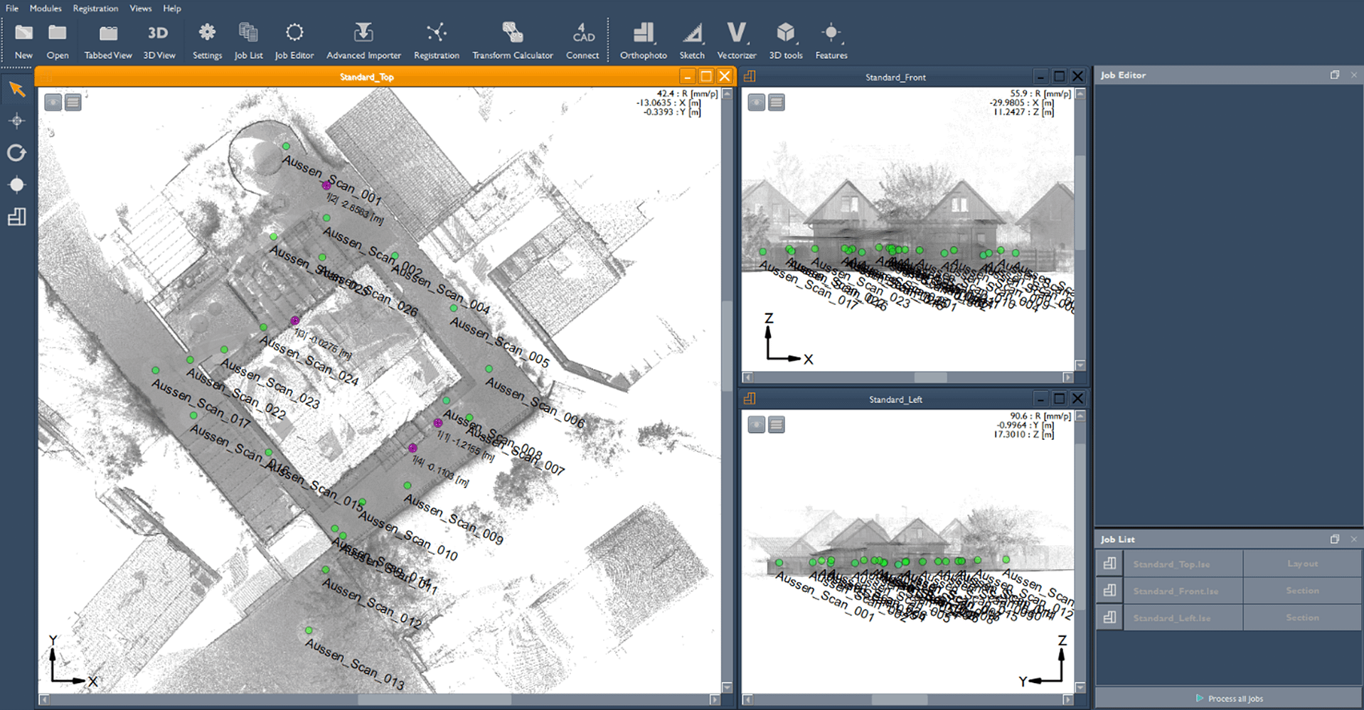
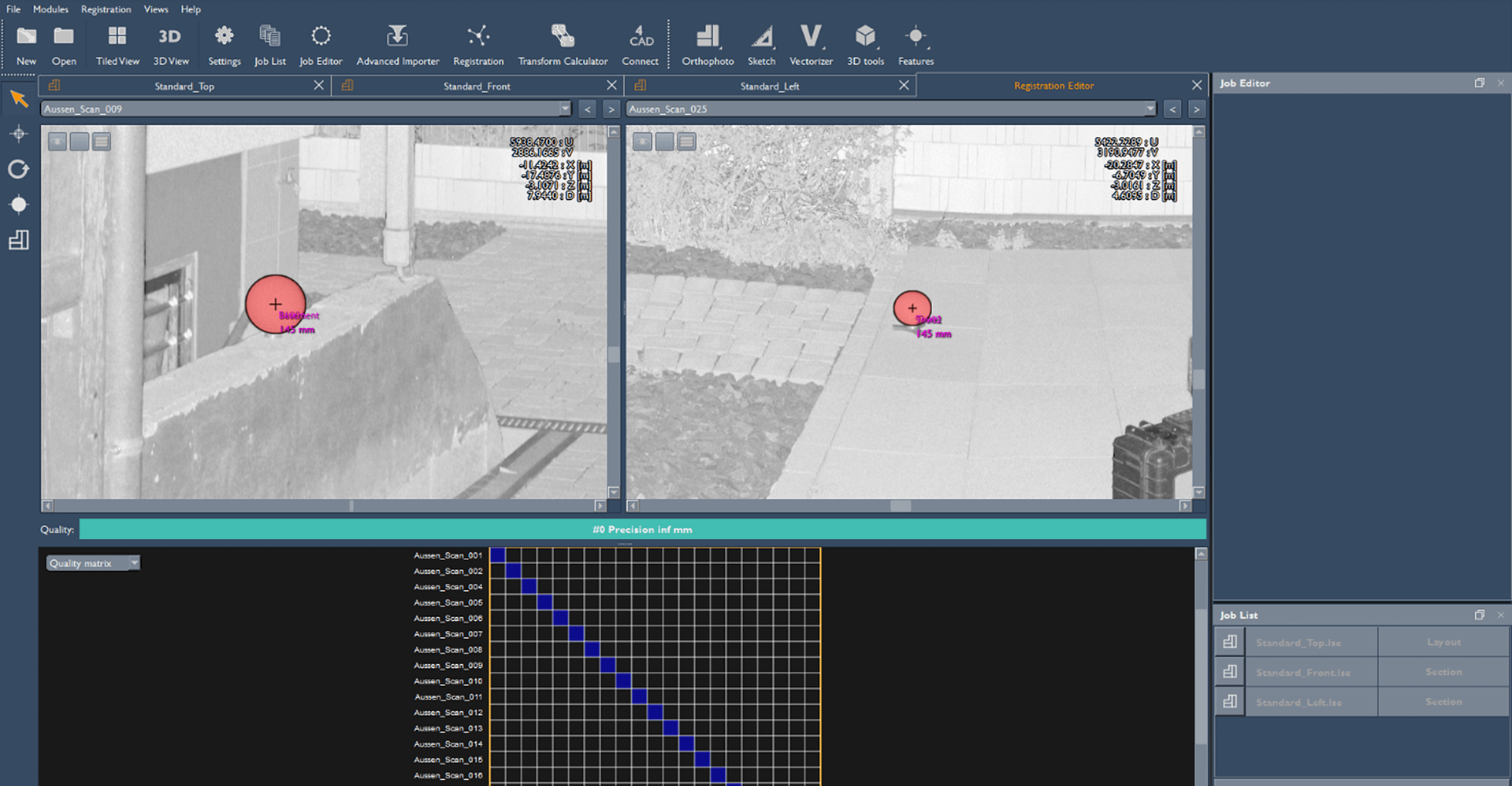
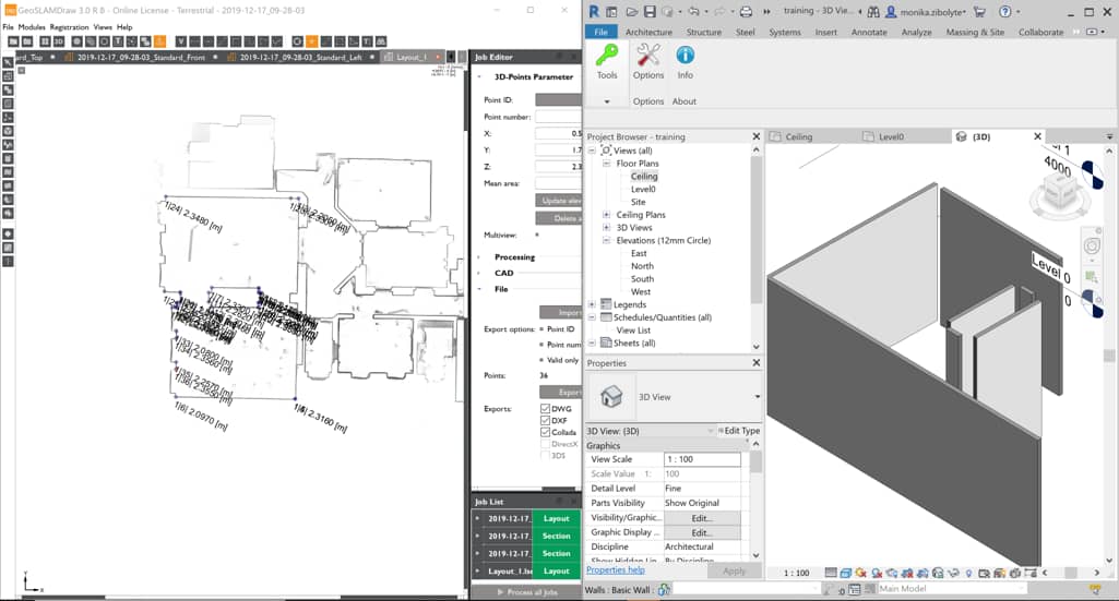
Enhance your point clouds further with GeoSLAM Draw
GeoSLAM Draw is an optional add-on software which can be purchased in addition to GeoSLAM Connect and comes in configured industry packages. Create projects directly from Connect, elevate your point clouds in a few clicks and share them easily with colleagues and clients for detailed collaborations.
GeoSLAM Draw Packages
See which plan complements your workflow
Start
This is the standard package for Draw. The features include:
Who is this package for?
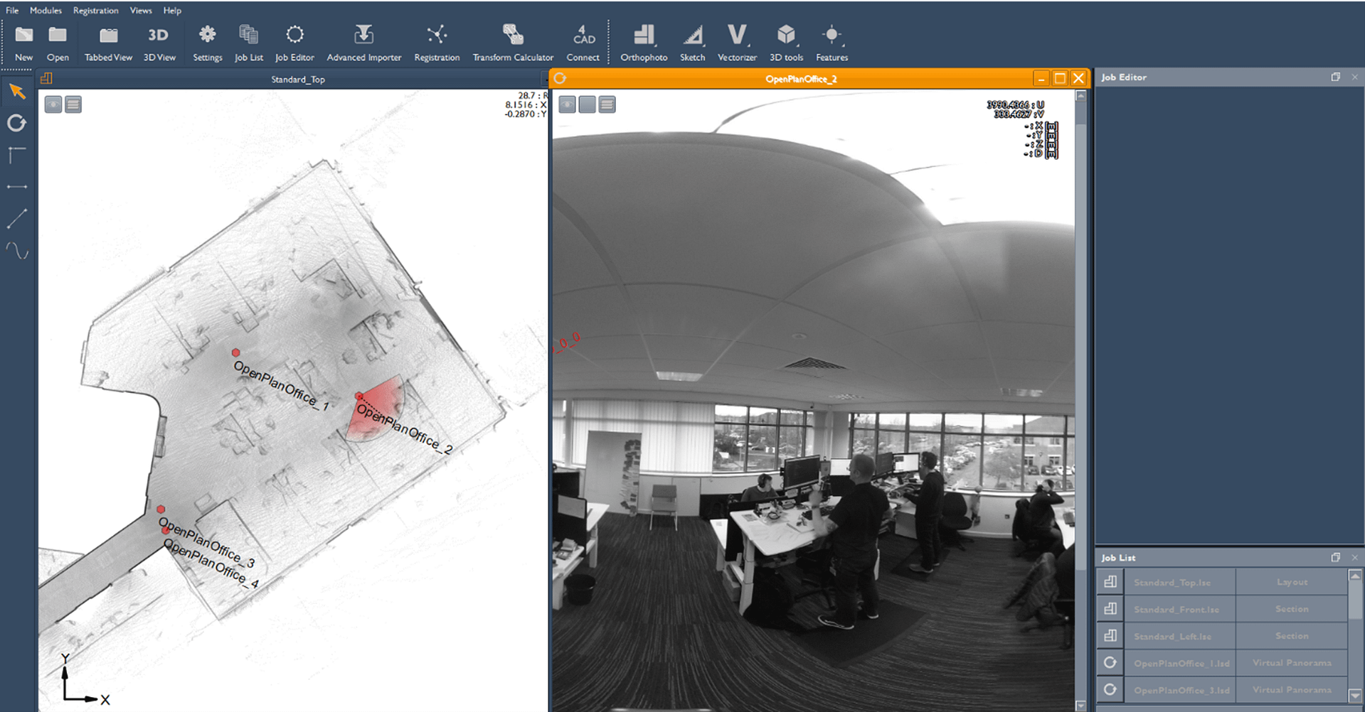
This package is best suited for those wishing to create quick and easy floorplans, conduct area surveys or to visualise images captured within scans (e.g. architects, planners).
Plan
Upgrade from the Draw Start package to the Draw Plan package. The features include those in Draw Start plus:
Who is this package for?
This package is best suited for those wishing to share data between colleagues, create reports or visualise a variety of shaped objects (e.g. CAD users, architects).

BIM
Upgrade from the Draw Start package to the Draw BIM package. The features include those in Draw Start and Plan plus:
Who is this package for?
This package is best suited for those wishing to create CAD models, georeference scan data or use terrestrial data to enhance projects (e.g. BIM users, architects).
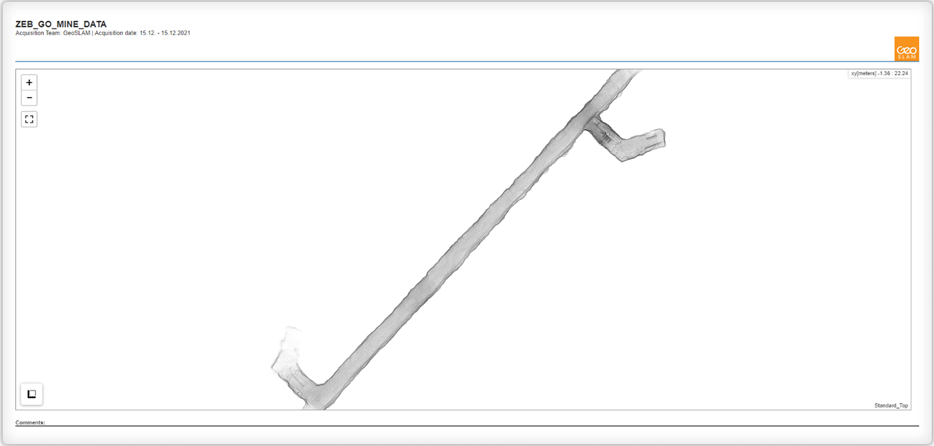
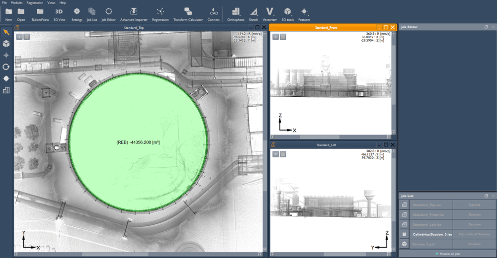
Mining
Upgrade from the Draw Start package to the Draw Mining package. The features include those in Draw Start, Plan and BIM (excluding Photo Match and 4Revit Plugin) plus:
Who is this package for?
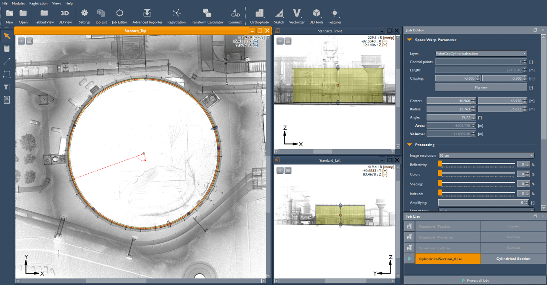
This package is best suited for those wishing to collect volume data (e.g. mining, tunnelling, stockpiling) or visualise aspects of point clouds in 3D.

Pro
Upgrade from the Draw Start package to the Draw Pro package. The features include all those in the other Draw packages listed above.
Who is this package for?
This package is best suited for those wishing to have full flexibility of point clouds.
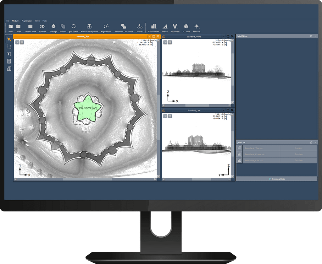
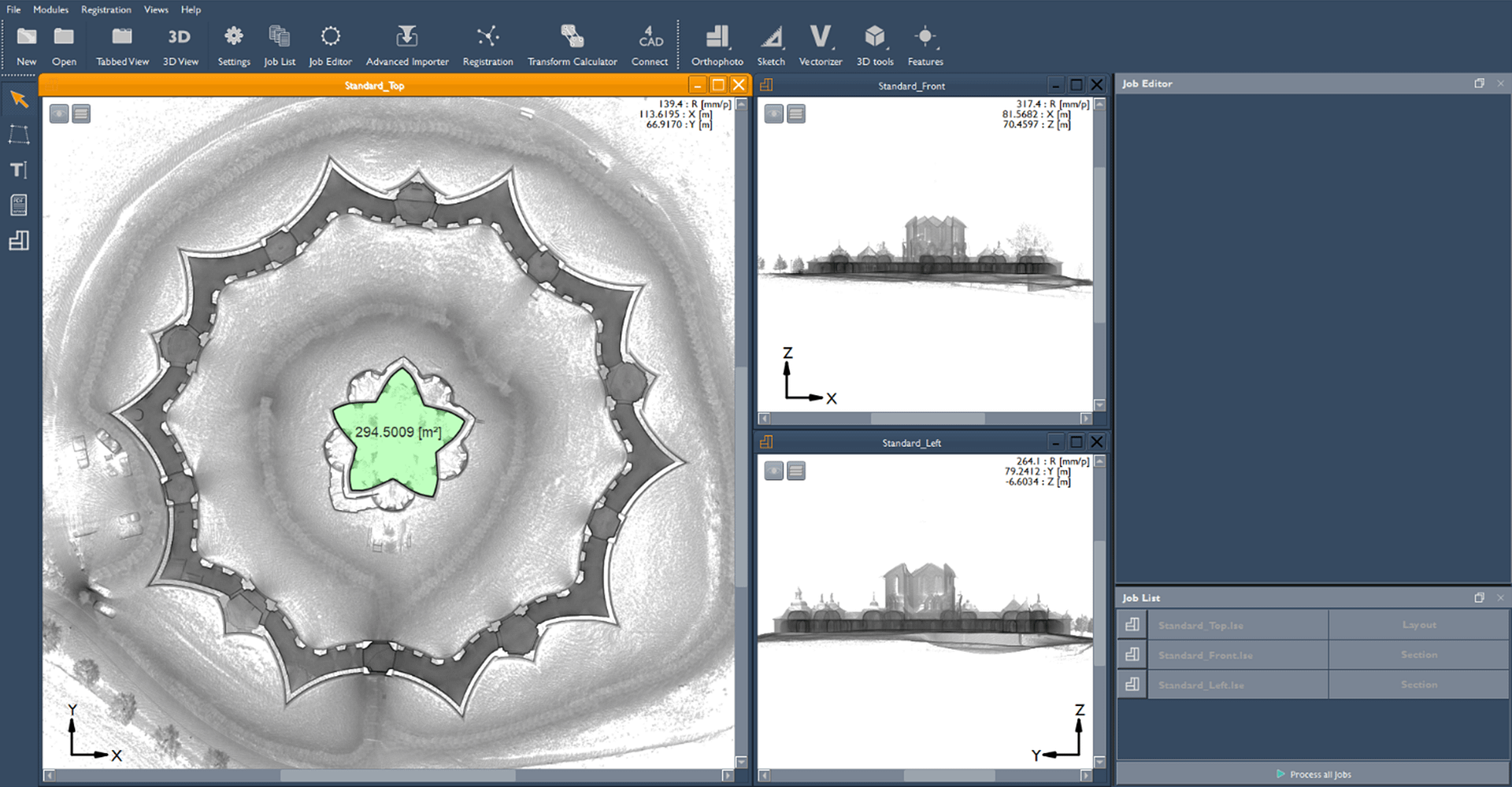
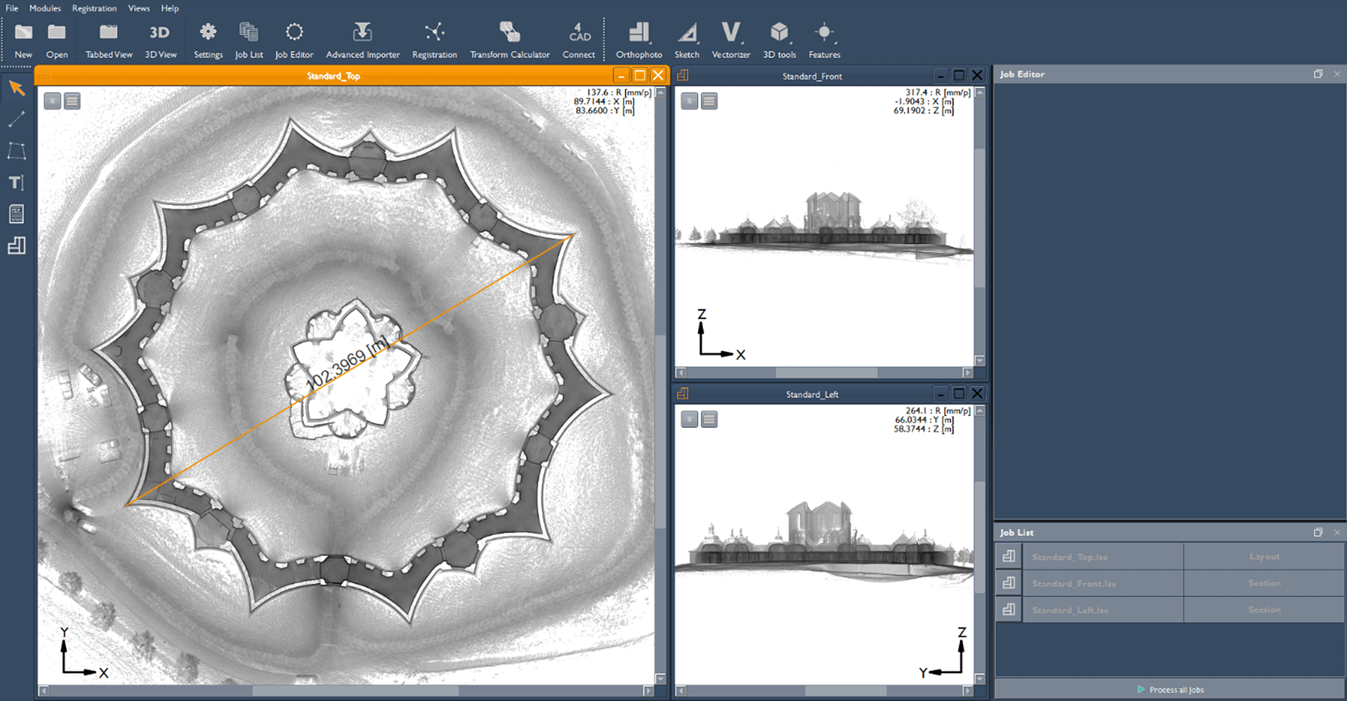
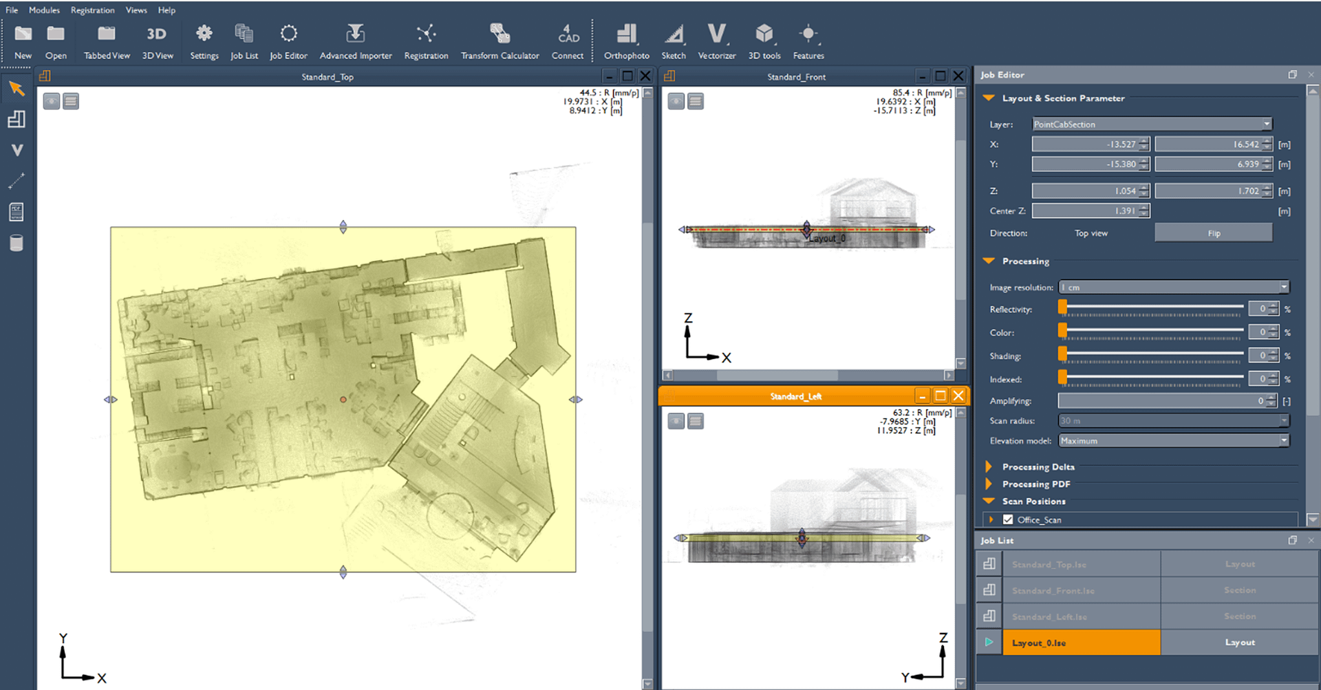
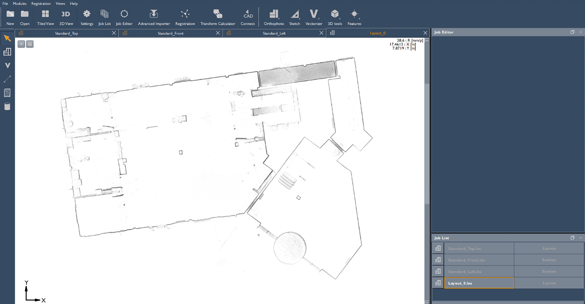
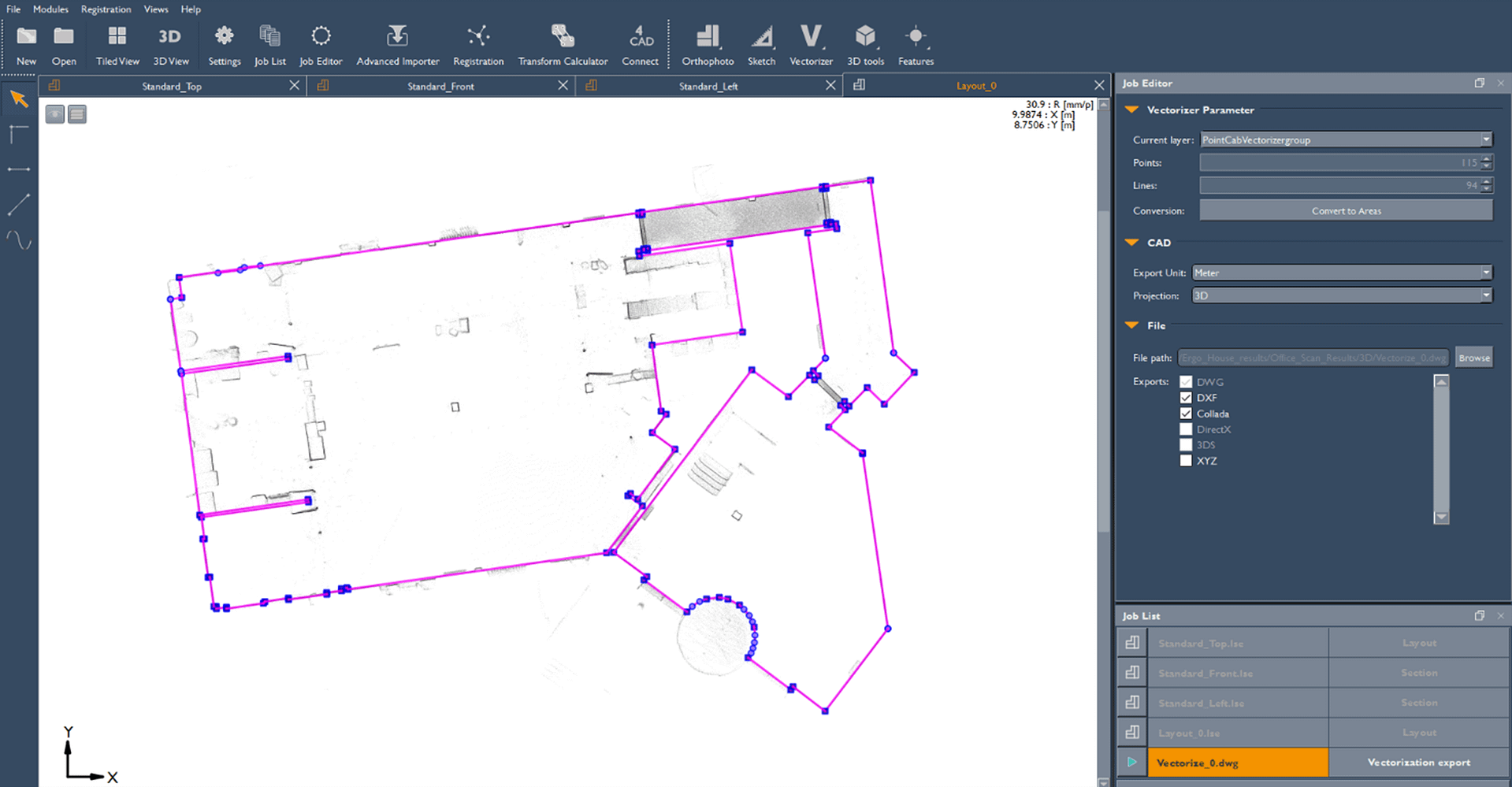
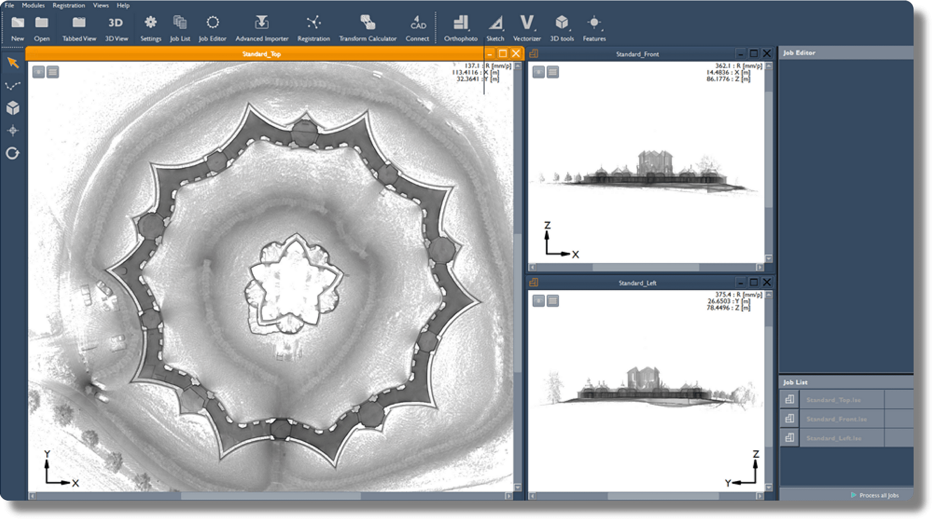
Brand new interface
Hover over the icons below to learn about the features of GeoSLAM Draw
Home Page
Project Page
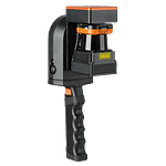
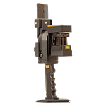
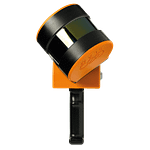
Meet the ZEB family of LiDAR scanners
GeoSLAM Connect comes as standard with every ZEB purchase.
Our mobile LiDAR scanners make it simple to scan – whether it’s outdoor to indoor or outdoor to underground.
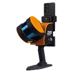
ZEB Go
ZEB Revo RT
ZEB Horizon