Leading Architecture organisations use GeoSLAM for:
Insourcing
Architects may traditionally rely on surveyors to complete scans of properties, which can be expensive and time consuming.
Convenience
Taking traditional static equipment to a large site isn’t convenient as multiple scans and site visits are required.

Workflow
From easy to use data capture, to full integration with existing workflows and software.

Operational optimization
Easy to adopt technology to benefit every part of the production cycle, without the need for a surveyor.
Why GeoSLAM?
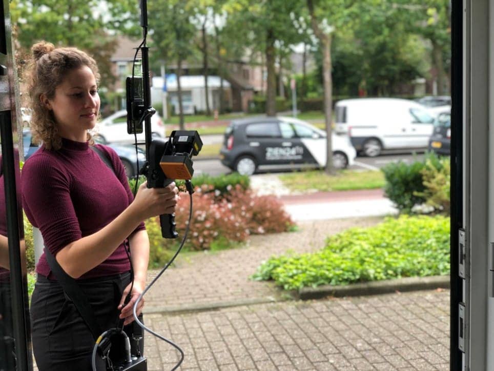
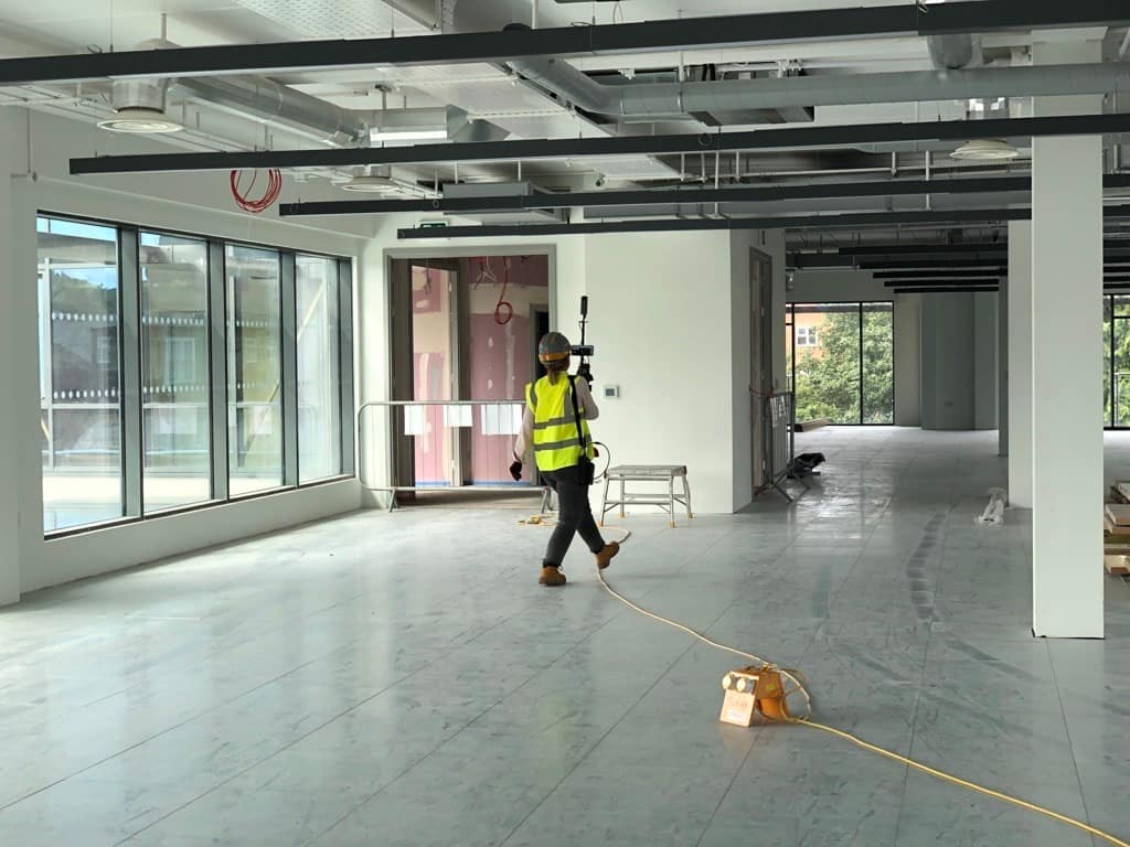
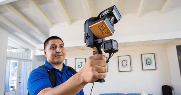
GeoSLAM in action


“Moving to mobile lidar technology has allowed PPM to gather accurate field data crucial to our architectural As-Built surveys at a speed much faster than our previous processes. We bought our first ZEB Revo in 2017 and we now have a fleet of 5 Revos and 4 ZEB Horizons. GeoSLAM laser scanners have transformed our As-Built production workflow in a way that has allowed us to scale our business Nationwide.”
Greg Davies
Director of Special Operations, Precision Property Measurements
“What really stood out was the quality of information captured, which was easily incorporated into a BIM representation using REVIT software. The device was really easy to handle and it was remarkable how much detail we were able to capture in the point clouds. It enabled us to achieve a level of accuracy that would have been impossible with manual techniques.”

Jose Vargas
BIM Technology Consultant,
Paragram architecture and consulting
“The first improvement with the GeoSLAM laser scanner was time saving, you’re just walking at a relaxed pace through the building, and its doing the magic for you as far as capturing all of that data.
I don’t think that I’ve ever had one project where I got all the information that I needed, that’s another attractive piece about the GeoSLAM, that you can take one tool out into the field and get everything that you needed.
For us GeoSLAM was the perfect fit for architecture.”

Jordan JD Dixon
Architect, Project Manager, SLA Architects
Case Studies

Which ZEB is right for you?
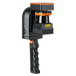
ZEB Go
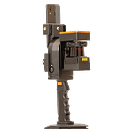
ZEB Revo RT
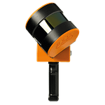
ZEB Horizon
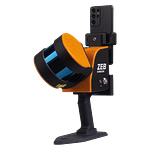
ZEB Horizon RT
Want to know how GeoSLAM can help you?
News
Keep up to date with the latest news and thought leadership from GeoSLAM.
What is BIM and how does it impact the construction industry?
What is BIM and how does it impact the construction industry? There’s…
GeoSLAM takes a stroll down mystery lane
Revealing the fascination of a unique historic treasure A famous historic…
How Builders by Design are integrating GeoSLAM into their workflow
Established in 2001, Builders by Design Ltd are a multi-disciplinary design and…


