Inspiring the next generation of architects, engineers and conservationists with GeoSLAM’s mobile mapping solutions.

Ultimate Flexibility
GeoSLAM solutions can be used by multiple departments for different projects.
Ease of Use
Students can be up and running quickly with our simple to use technology.
Affordable
Educational discount makes our SLAM accessible for all institutions.

Designed for the Classroom
Educational software licensing to make teaching and learning more effective.
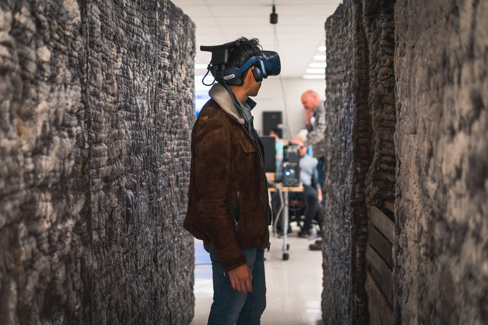
Why GeoSLAM?
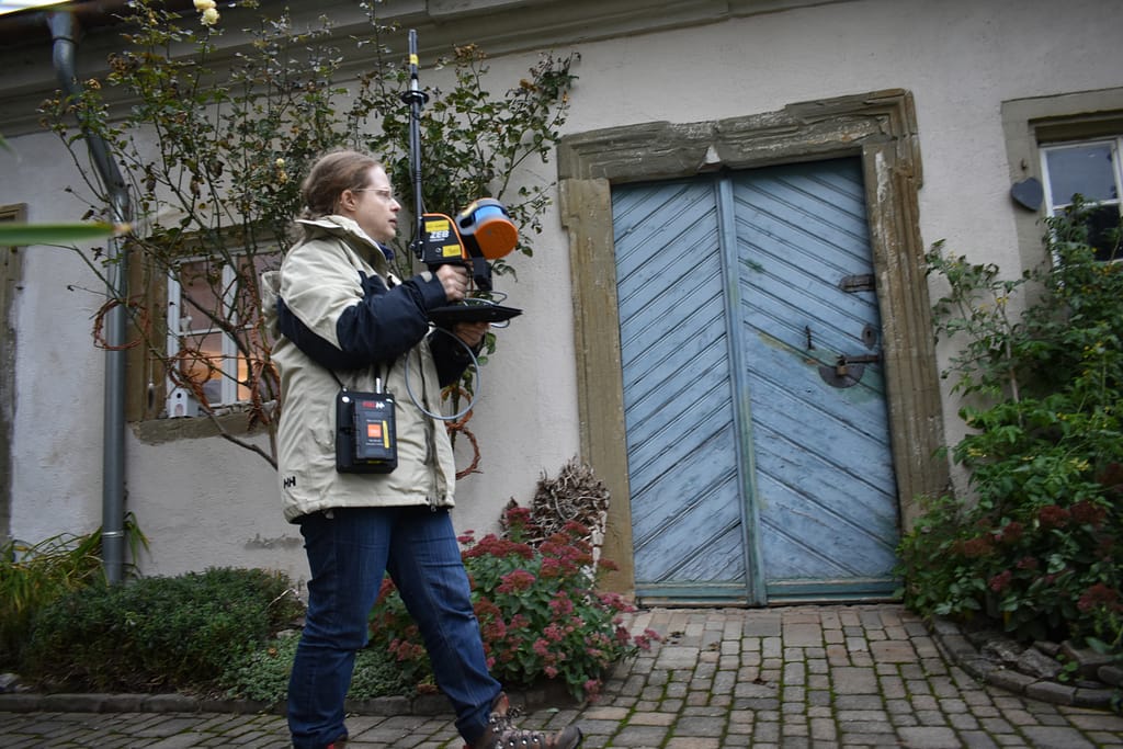
The ZEB Family of handheld scanners are used by educational institutions around the world. From geology to geography, remote sensing and civil engineering – GeoSLAM units can be found in different departments on campus.
Now with classroom licensing, it’s easier than ever to add SLAM to your syllabus.
Accessible to students and academics, as well as maintenance and facilities staff, our SLAM solutions are easy to use and can produce pointclouds in a matter of minutes.
GeoSLAM data is compatible with third party software programmes widely used in academic environments and exportable file formats include LAZ/LAS/PLY/TXT/e57.

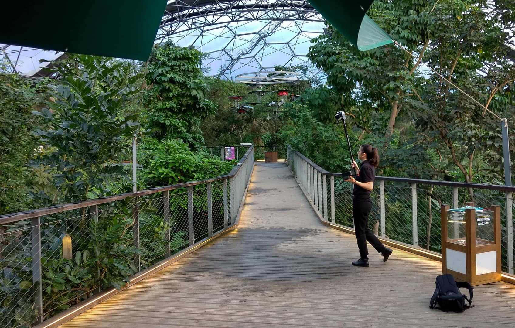
GeoSLAM in action
‘Using GeoSLAM’s local processing software, the raw
scan data was processed on site, with no internet
connection required – useful when in an actual rainforest!’

University of Leicester
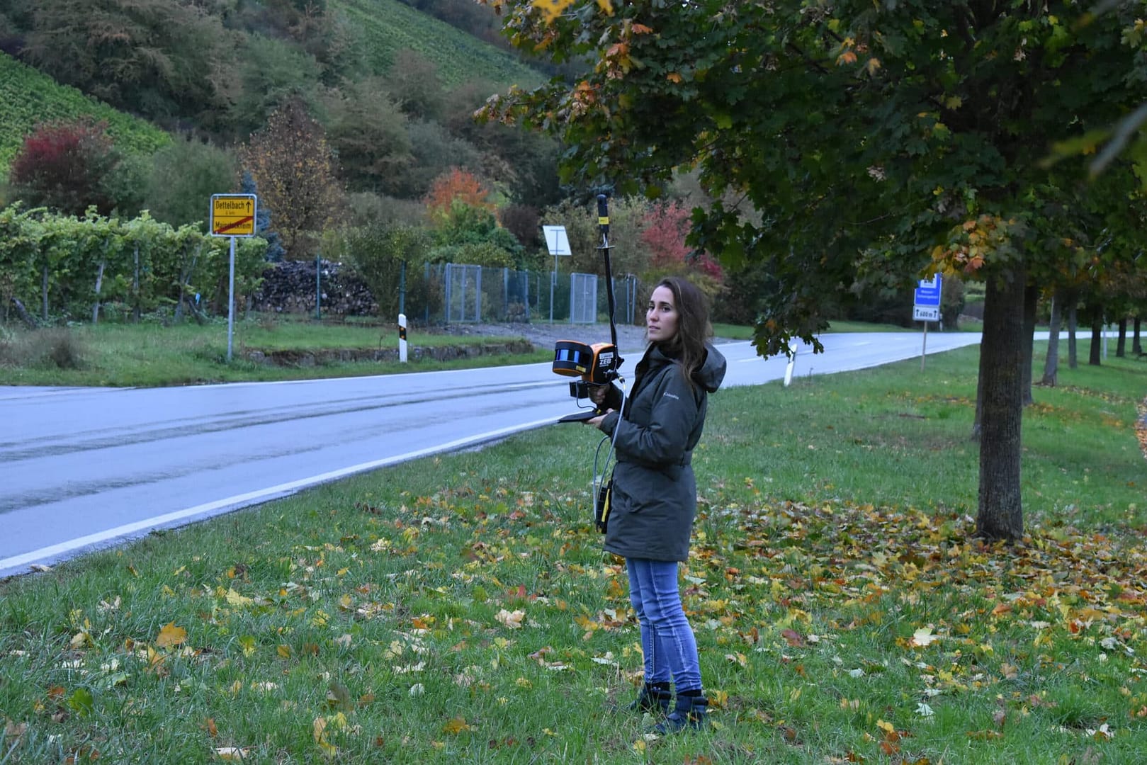
‘It was a gamechanger in terms of the speed of data
acquisition’
Virginia Tech
Case studies
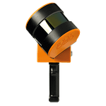
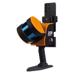
Which ZEB is right for you?
ZEB Go
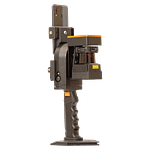
ZEB Revo RT
ZEB Horizon
ZEB Horizon RT
Want to know how GeoSLAM can help you?
News
Keep up to date with the latest news and thought leadership from GeoSLAM.
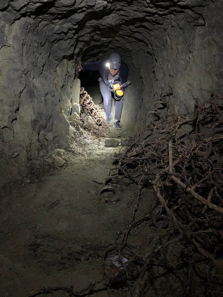
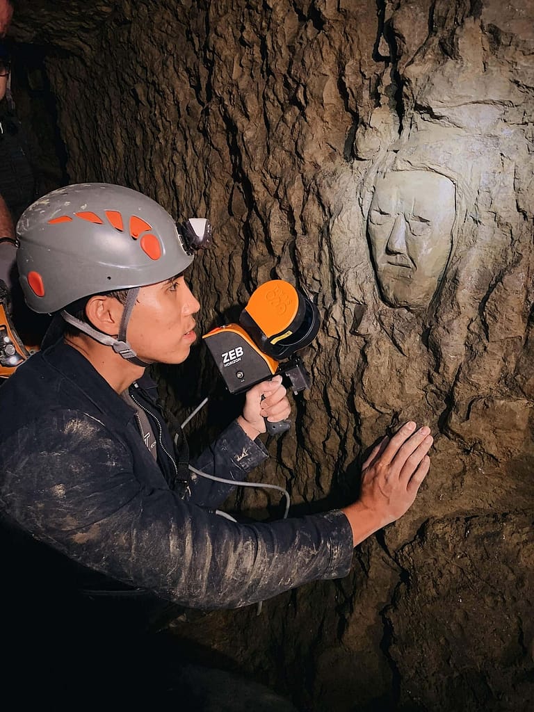
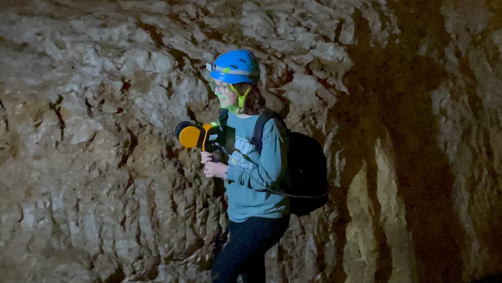
Uncovering Spanish history with the ZEB Go
Join Channel Manager Marcel Goyvaerts on a journey uncovering Spanish…
ZEB Horizon helps Bat Conservation International
Bat Conservation International work around the world to conserve different…
Mapping Trees on the Move
How GeoSLAM’s mobile technology collates forest resource information for Australian…


