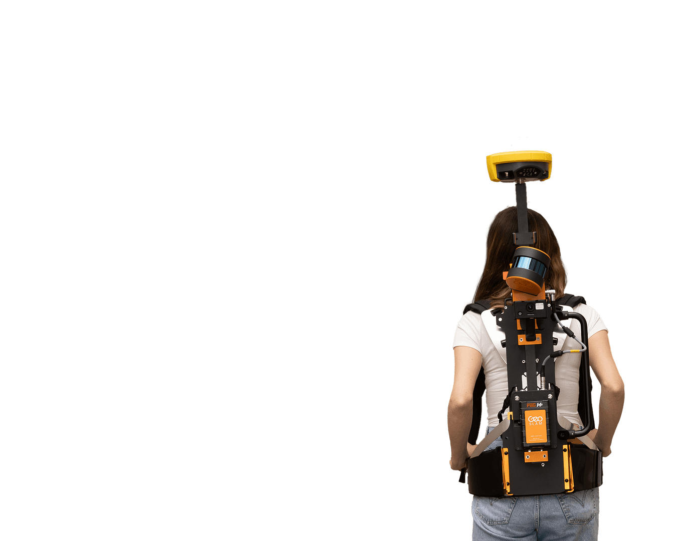
Georeference your point cloud

Build a point cloud with
precise location positioning
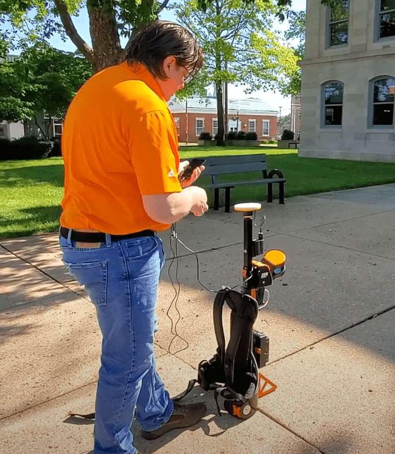
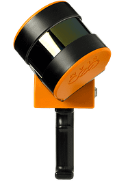
Using the ZEB Locate, connect your point cloud to the real world, without the need for external control points.
Points per second
Number of Sensors
Relative accuracy
Range
Your tool to capture, process and understand the world around you.
With powerful SLAM technology at its heart (we call it GeoSLAM Beam), the ZEB Locate can be used in areas with poor GPS – such as underground or in forests.
Mobile LiDAR with
GPS for hard to reach areas.
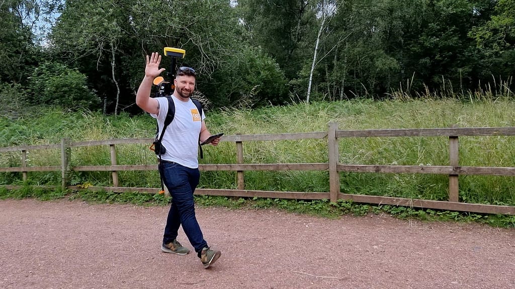
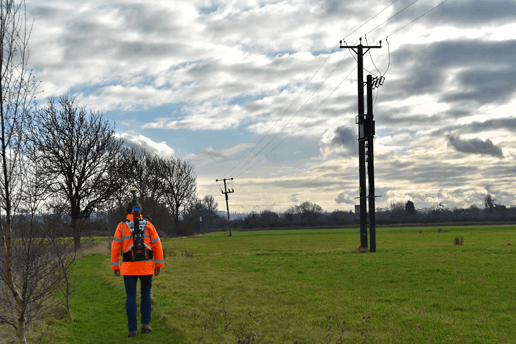
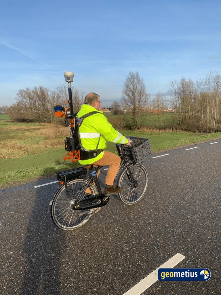
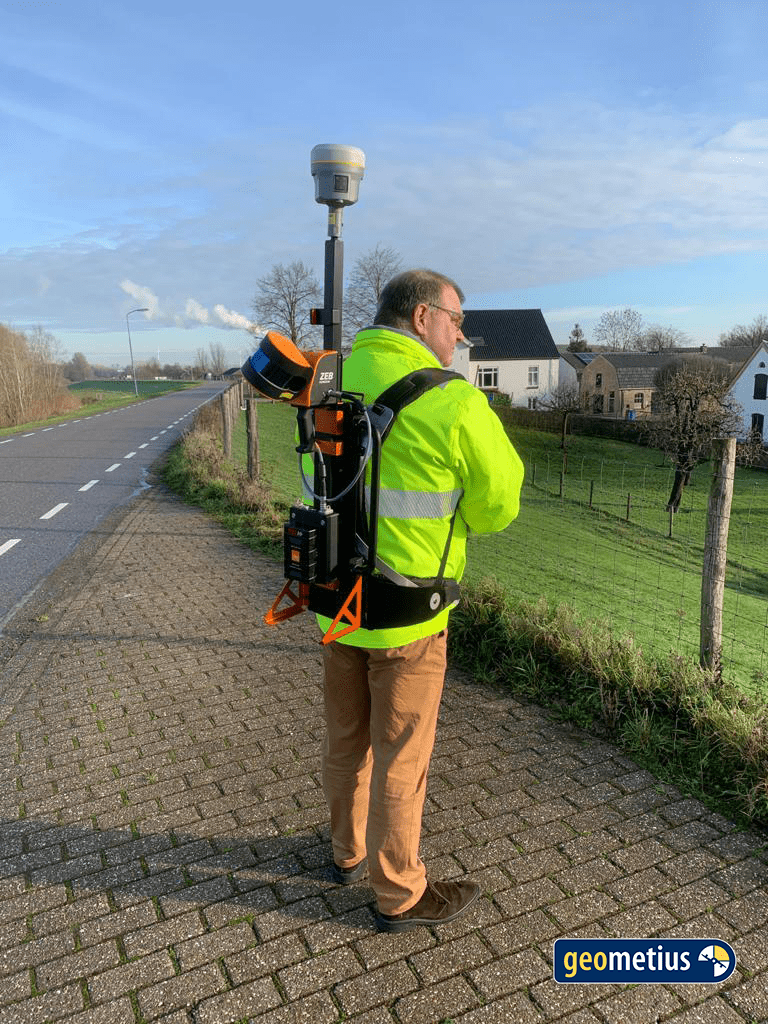
Essential infrastructure is found mostly in easy to reach areas, but sometimes, a more mobile option is needed. mobile LiDAR is ideal when maintenance or inspection is needed on assets that should be inspected on foot.
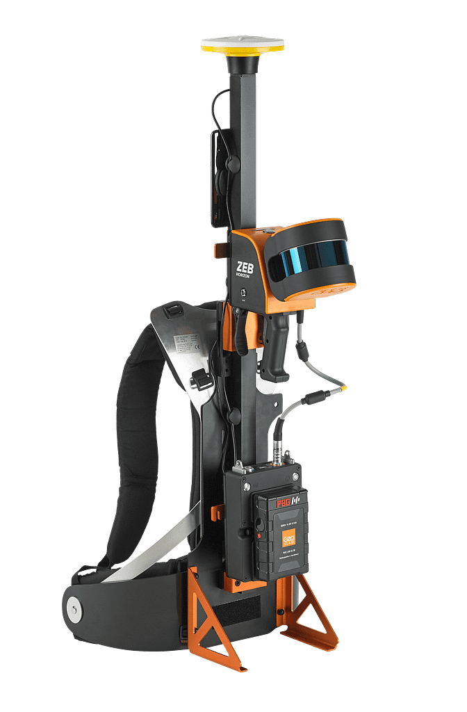
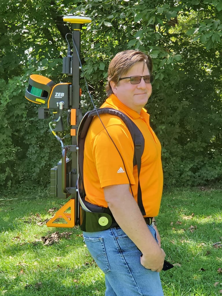
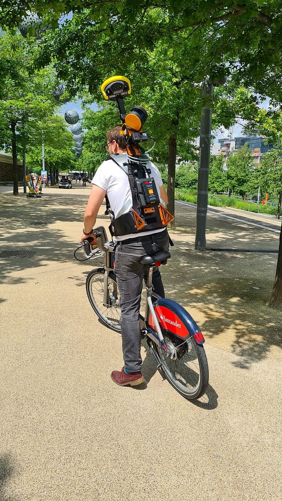
Easily switch your ZEB Horizon between UAV, handheld and backpack configuration thanks to simple clip and go technology.
Here’s just some of the applications where the laser scanner can be utilised:
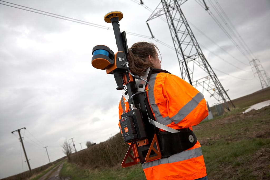
Utility pylons
The ZEB Locate is ideal for the rapid scanning of utility poles and power lines. With a range of 100m, you can capture data from a safe distance.
Power stations
Utilising simple clip on clip off technology, the ZEB Locate is lightweight and comfortable to wear for large scanning jobs.
Electricity substations
Monitor and maintain intricate fixed facilities accurately with the ZEB Locate. View, share and analyse data with key stakeholders in ZEB Locate software.
The ZEB Locate in action

See which product the ZEB Locate can be paired with
ZEB Horizon
The most flexible of the ZEB family with a range of accessories which makes it suitable for lots of different applications.
Can be used to scan indoors and outdoors with a longer range of 100m.
Want to know more about the ZEB Locate?
News
Keep up to date with the latest news and thought leadership from GeoSLAM.
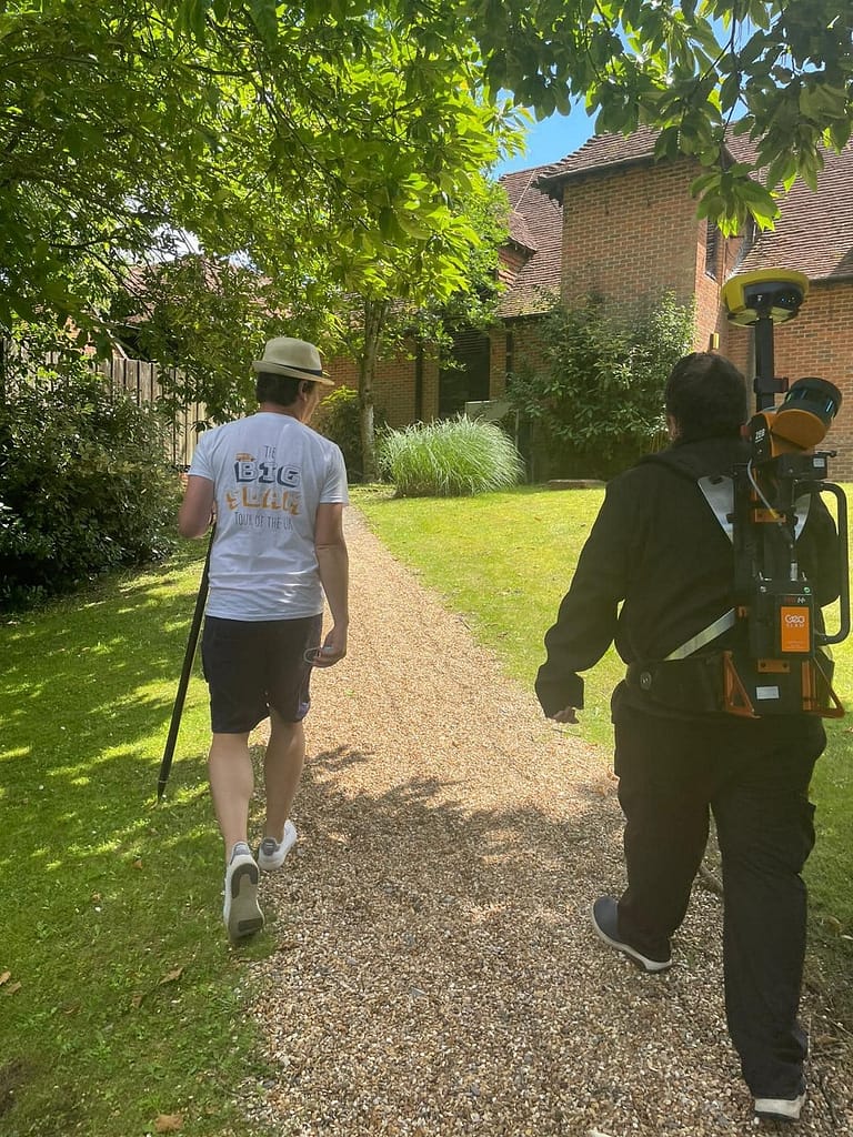
The Big SLAM Tour of the UK
The Big SLAM Tour of the UK Follow our journey Between the…
Q&A with Harvey Wright, of GeoSLAM dealer Seiler Design Solutions
Harvey Wright is sales manager at Seiler Design Solutions, a GeoSLAM dealer…
Urban mapping opportunities with UK Government
Last week the UK Government announced a £2 billion package to encourage…


