The way we understand buildings is changing.
Construction Progress is a smart monitoring solution to track the progress of large construction projects using mobile LiDAR and automated analytics.
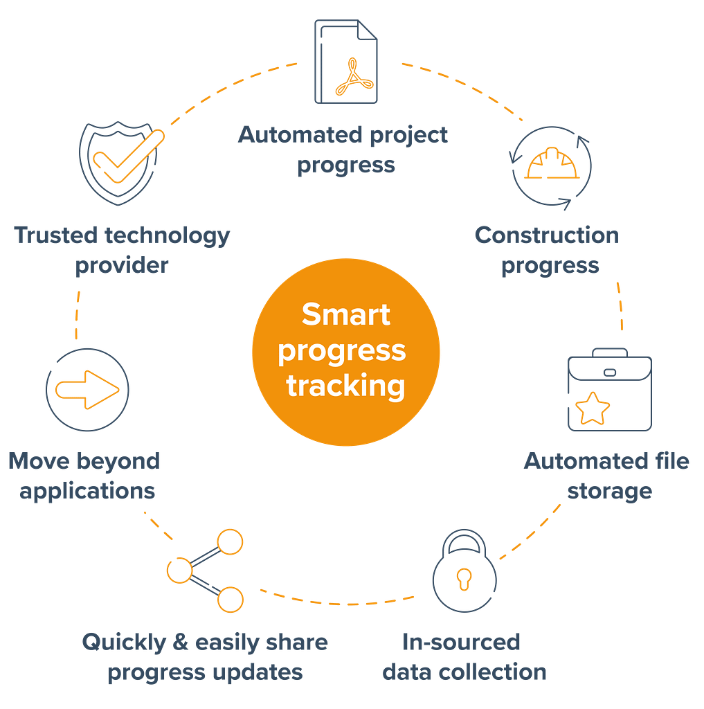
Why GeoSLAM Construction Progress?

How does Construction Progress work?
Construction Progress combines hardware, advanced SLAM and analytics to deliver crucial site information to your teams quickly and easily.
Automatically generate clear progress reports with visualisations that show you the build progress made on site.
It’s used by construction companies to track and record progress against a 3D model or a previous scan to improve efficiency, save money, create unbiased progress reports and provide valuable data to help resolve any disputes that may arise.

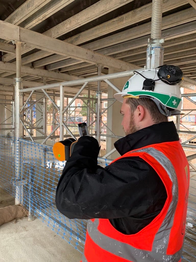
1. It starts with SLAM
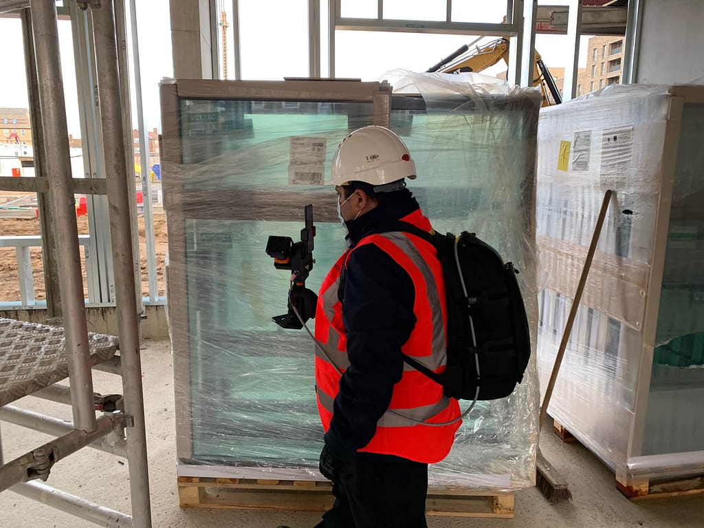
SLAM (Simultaneous Localisation and Mapping) creates a digital model of a site, by using a handheld mobile scanner. The SLAM technology used inside GeoSLAM’s product portfolio was developed by some of the smartest people on our planet. As you walk around your construction site, 43,000 invisible laser beams are emitted per second, and this is what forms a digital map.

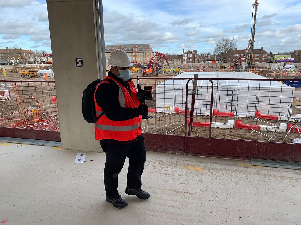
2. Capture
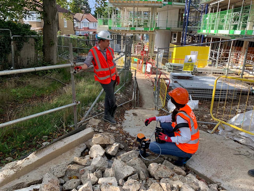
Using GeoSLAM’s mobile mapping system, capture regular scans by walking around the site. You will need to capture a minimum of 4 control points during your scan (we would recommend capturing more than 4 if possible). All GeoSLAM ZEB systems are able to capture reference points using the reference plate accessory. Learn more about control points here.
Within one hour, we’ll tell you what’s changed – automatically. No guessing, no maths, just the press of a button (and some very clever algorithms). You can compare each scan against the previous scan, or to a CAD model.

3. Process
Plug your ZEB scanner into a computer, and we’ll automatically process the data using our smart data platform, Connect. We can set the file to be automatically saved to a network folder of your choice, each time a scan is completed.
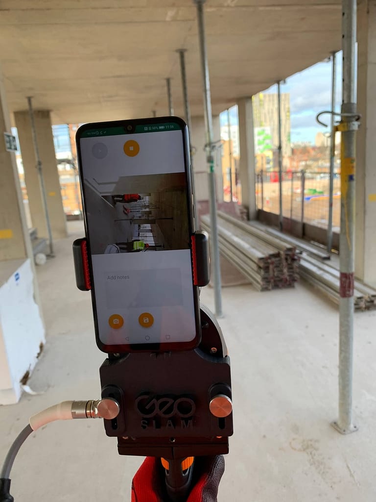
4.View
View your 3D data, see notes, voice notes or photos located where they were made. Save your photographs and notes for reference or team collaboration. See what’s changed against a previous scan, or 3D model.

5.Create
You’ll have an easy-to-understand PDF report automatically generated and emailed to you, or saved in a file location of your choice. The PDF report will show the percentage of work complete or incomplete (compared to 3D model) and a simple visualisation of the site highlighting 3D change. A digital record of site progress over time can now be captured, reported and stored for the life of the project.

6. Where next?
You choose to sync the results of your project to collaboration tools such as Dalux, Bim360, Viewpoint 4projects. You can also export the data to CAD packages or your CDE (common data environment).
What can Construction Progress do?
Detailed PDF reports
Using the Construction Progress app, add notes and images to your scans to keep a digital record of site progress over time.
See what’s changed
Identify percentage complete or incomplete.
We understand the challenges
Need for speed
Every construction project relies on each specialist in the chain of production being able to complete their work to a tight schedule.
Lack of time
Engineers often have only a short amount of time available to them in which to get all of their measurements taken and compare as-built models against the design plan.
Safety first
Sites are often hazardous and the need for safety and accuracy is paramount, which often makes productivity slow and time consuming.
Access issues
Taking bulky equipment to hazardous sites with limited access points can be difficult, and sometimes totally impossible.
Disputes
Delays can be costly, in time and money, and can cause expensive disputes between contractors and building owners.
Embracing Digital
Technology in Construction.
Innovation in construction gets a bad rap. Which feels somewhat unfair, after all, it is a ‘bricks and mortar’ industry, heavily reliant on equipment, machinery and a ‘hands-on’ workforce. The industry is often flouted as falling behind others in how it has embraced technology. Yet in recent years in particular, many forward-looking construction companies have deployed innovative solutions to better, and more safely, construct buildings.
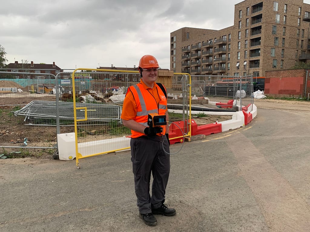
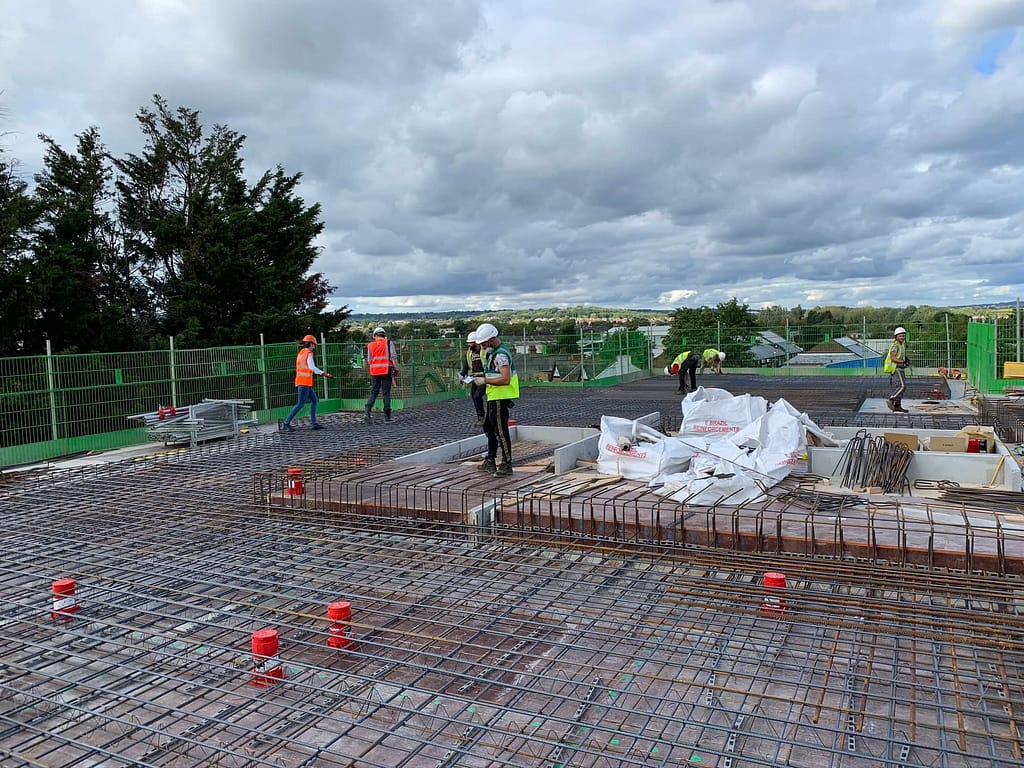
Construction Progress in action

We’re a member of
“We have been trialling the ZEB Go on numerous construction sites. It is extremely easy to use and has been adopted by various colleagues throughout the site. The speed of capture has resulted in us being able to capture a full site in a fifth of the time compared to our existing scanner.”
Want to learn more about GeoSLAM Construction Progress and how it could transform your business?
Learn more about our ZEB scanners
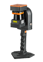
ZEB Revo RT
Handheld, lightweight and easy to use, the ZEB Revo RT allows you to build highly accurate 3D models within minutes, while on the move.
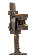
ZEB Go
If you’re looking for a reliable way to map and understand spaces, meet the ZEB Go – your first step in SLAM handheld technology.
ZEB Horizon
With a range of 100m, the ZEB Horizon is great for outdoor use. Its lightweight and compact design also make it perfect for indoor surveys.
News
Keep up to date with the latest news and thought leadership from GeoSLAM.
What is BIM and how does it impact the construction industry?
What is BIM and how does it impact the construction industry? There’s…
Why is Geospatial Information so Important?
Why is Geospatial Information so Important? Geospatial technology like LiDAR scanners can…
Mapping the Future – The Now or Never pod with Willmott Dixon
GeoSLAM were invited by Willmott Dixon to be involved with the beginning…


