Leading global geospatial organisations use GeoSLAM for:
Accuracy
Getting your measurements right first time is essential, for both productivity and maximum efficiency.

Speed
Time is money, which means maximising your productivity to reduce the amount of time spent on each job.
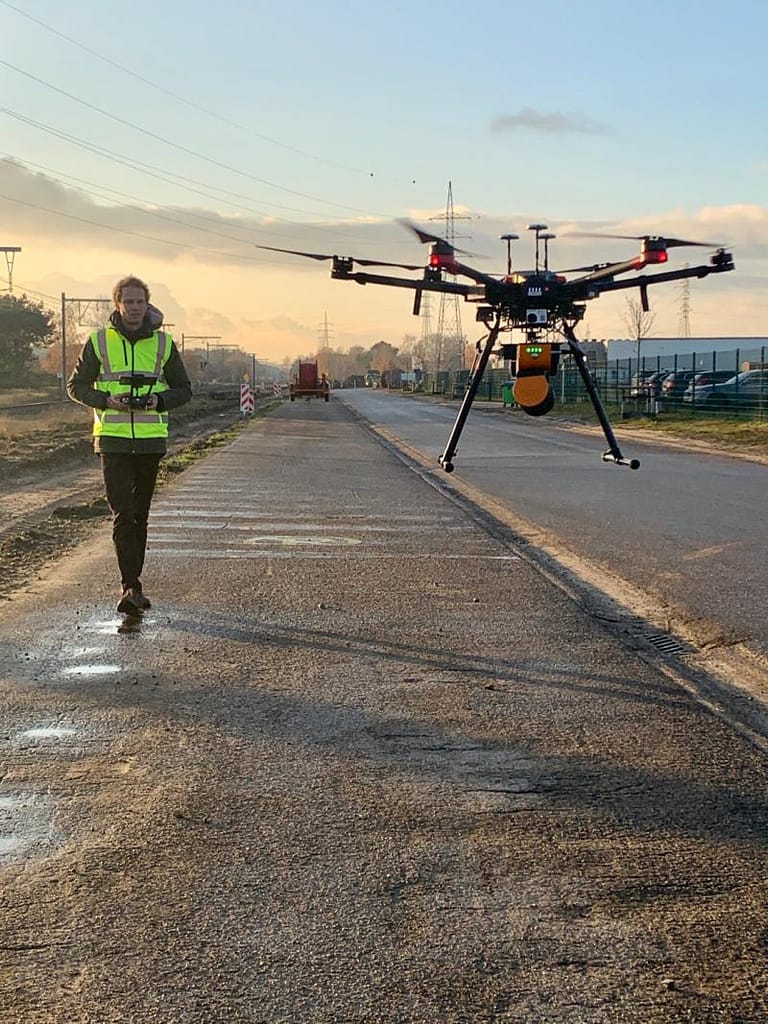
Freedom of Movement
Every single site that is visited will be different to the last, and the potential for access issues is always present.
Cost effectiveness
Hold ups, mistakes and tech-based restrictions can all reduce the cost-effectiveness of each and every job you do.
Why GeoSLAM?
We’re a member of
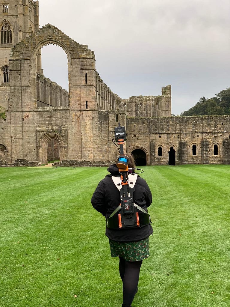
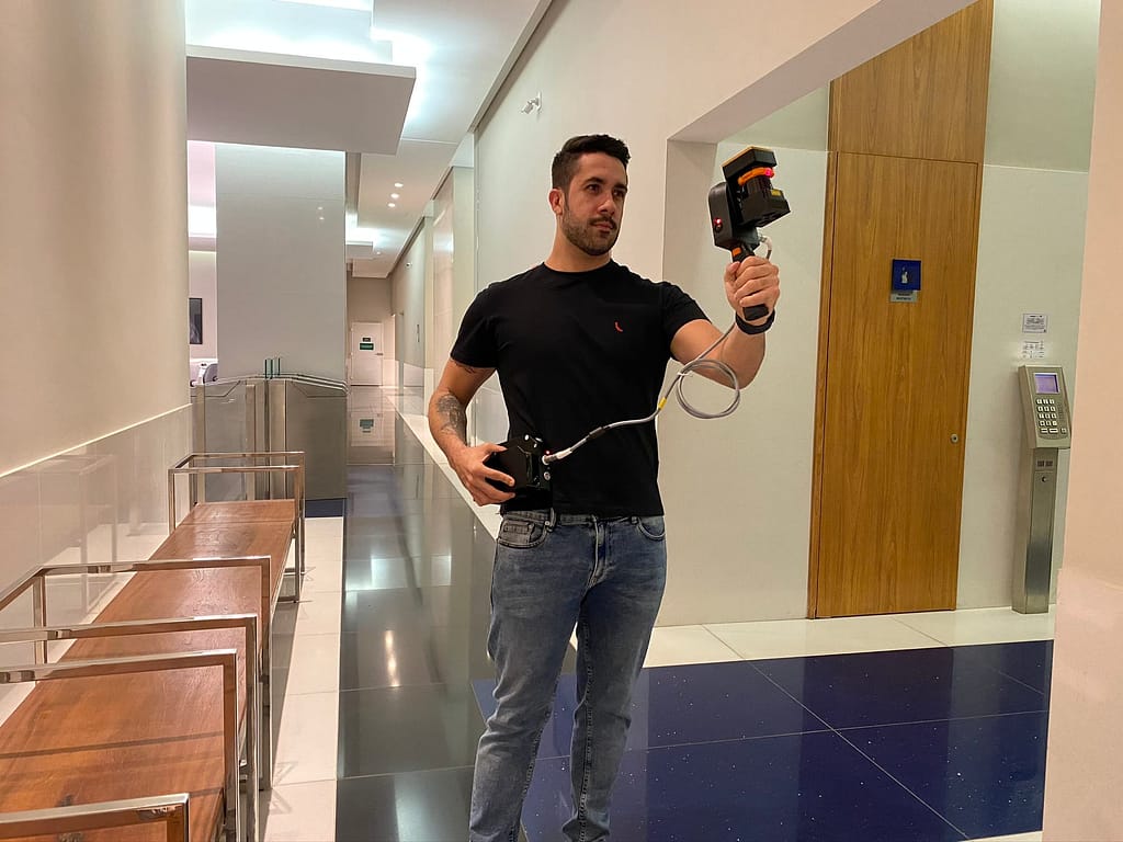
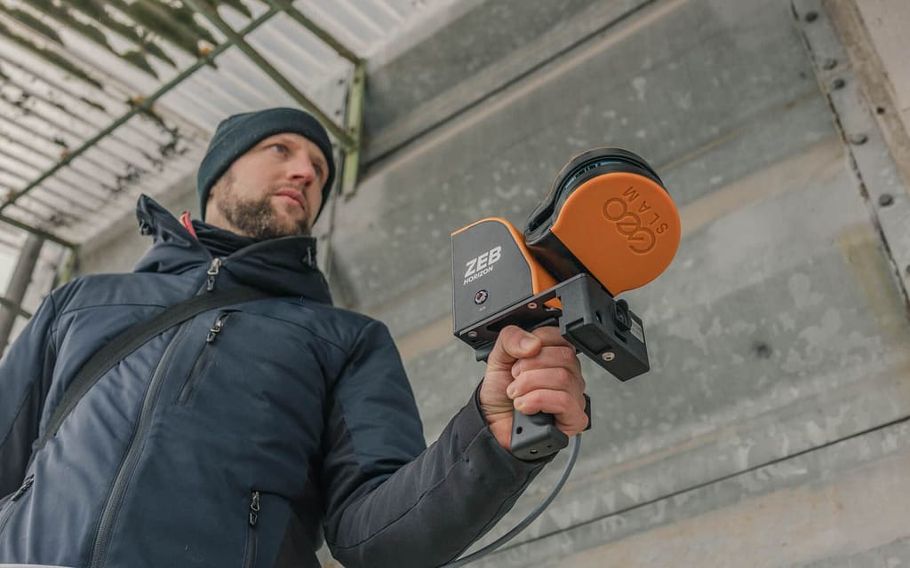
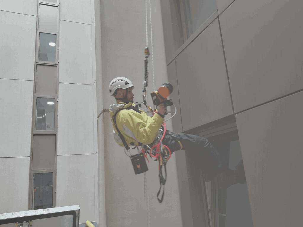
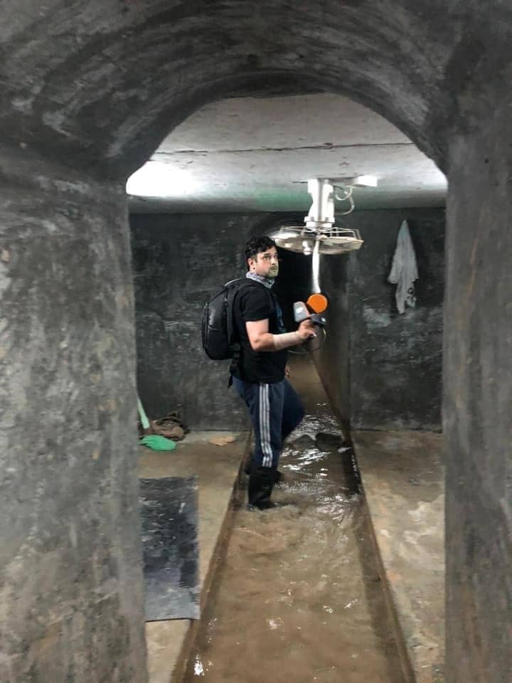
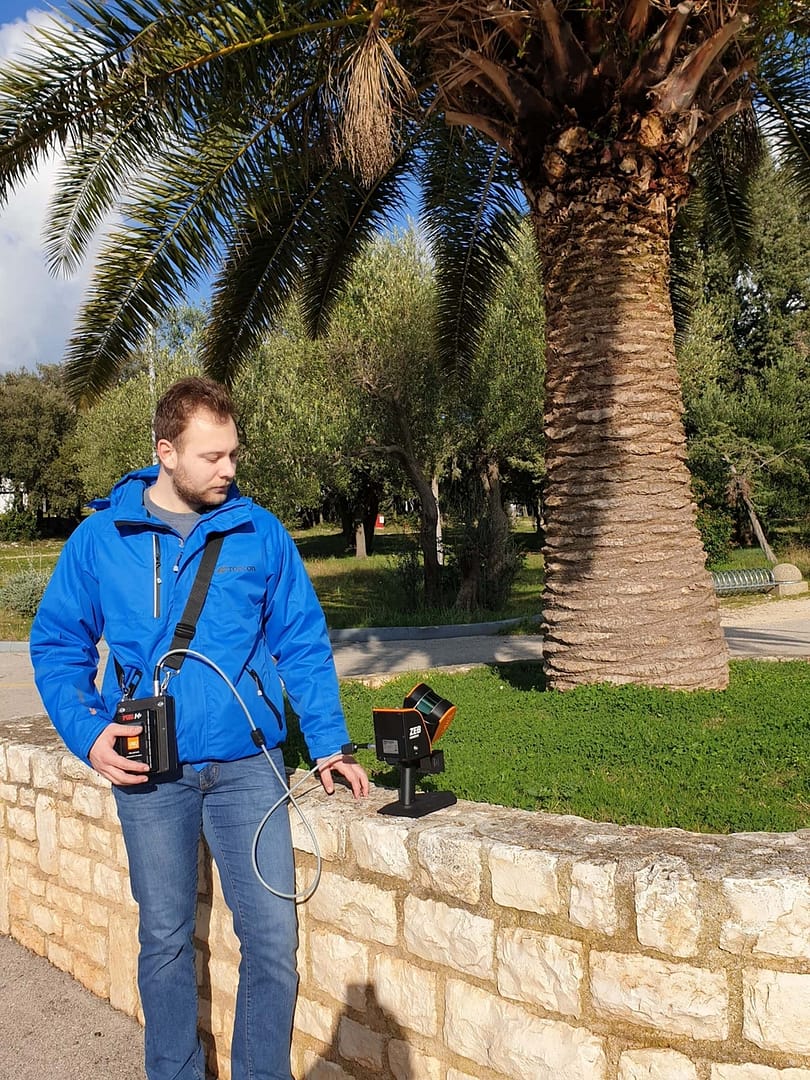
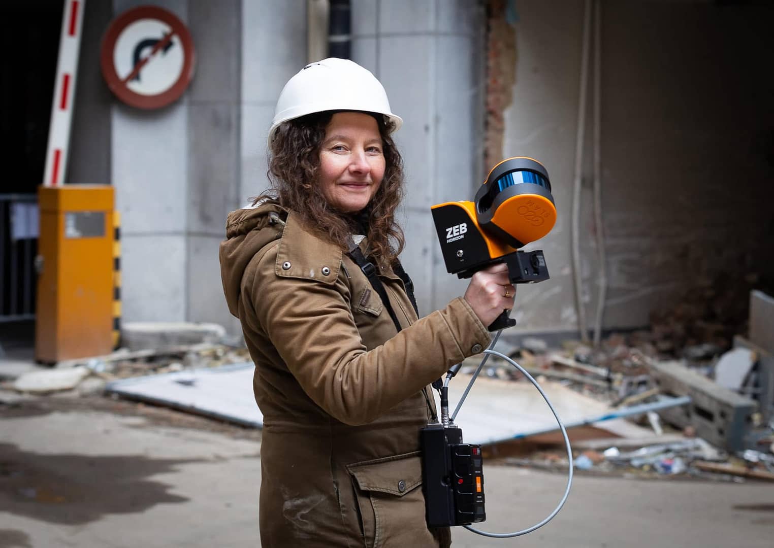
GeoSLAM in action

‘Access to user-friendly technology such as the ZEB-REVO that scans multi-level environments and produces accurate and high quality 3D survey data, is a real game-changer for us.’
David Johnson
Director, Midland Survey
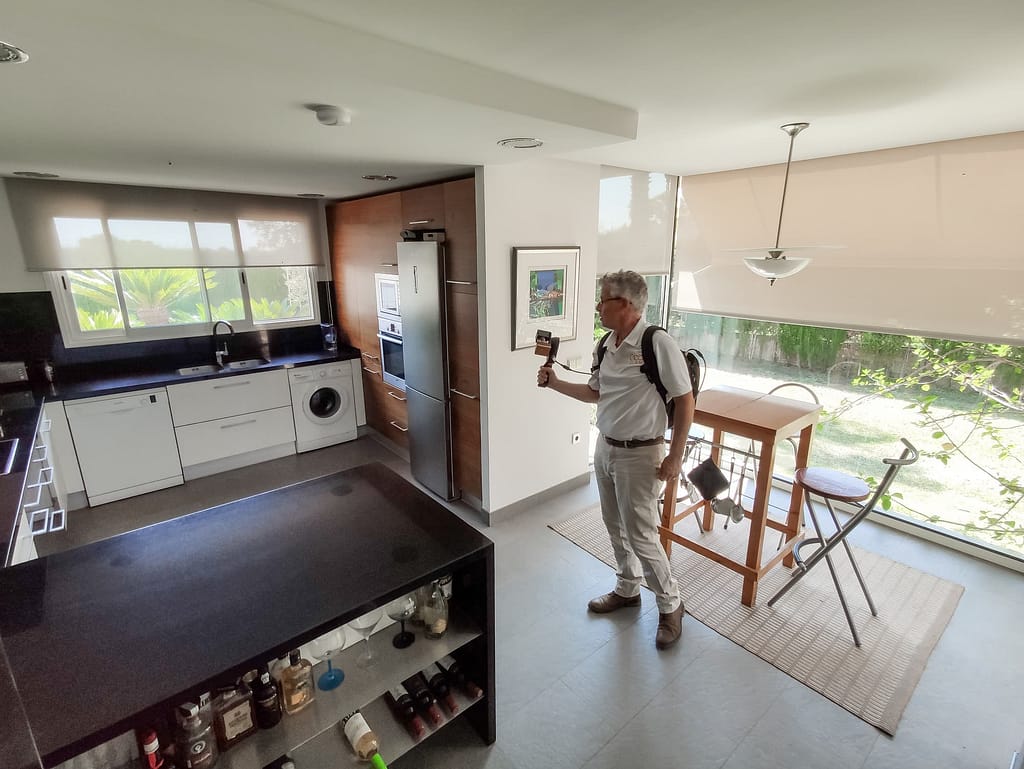
‘We haven’t found any other solution that is as versatile and practical to use for scanning complex indoor scenes with crowded spaces, rooms and stairs.’

Joel Lucas
Geoperspectives
‘The ZEB HORIZON
captures forestry data more
accurately than traditional
methods and eight times faster.’
Luka Zalovic
Geocentar
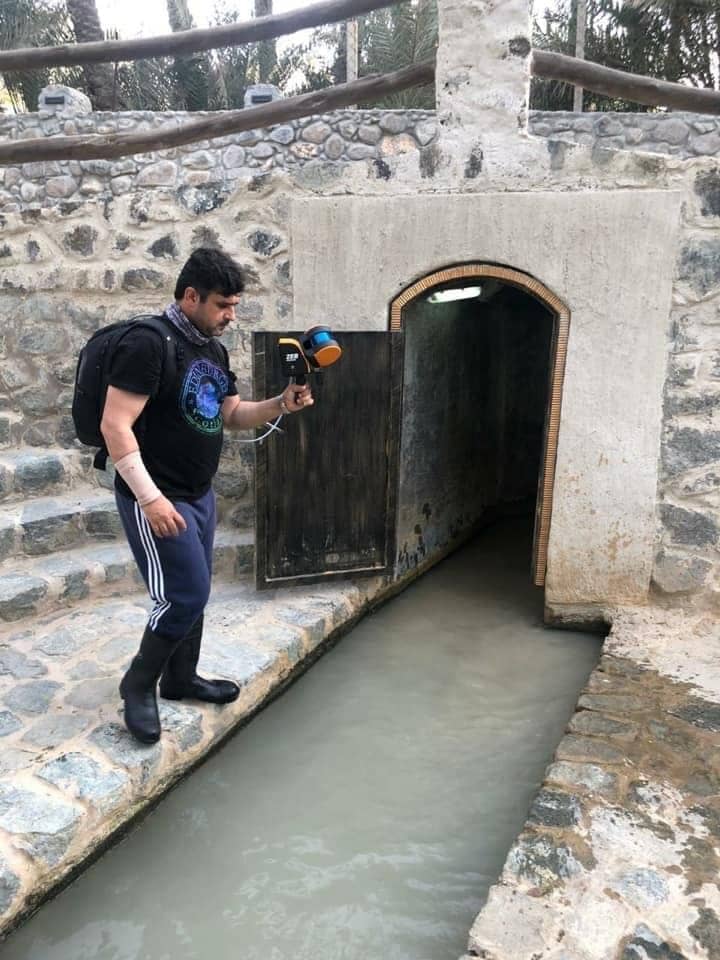
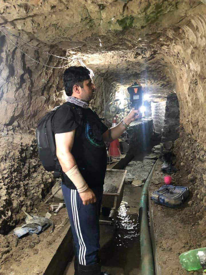
‘GeoSLAM technology was at the top of our list to scan the underground network, primarily due to its long range capabilities’

Jon Bedford
Historic England
‘The ZEB HORIZON was not only fast, but discreet and
easy to operate in such a busy environment.’
Samuel Duhaussay
Geotopo
Case Studies


Which ZEB is right for you?
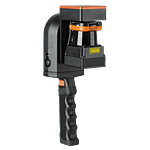
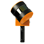
ZEB Go
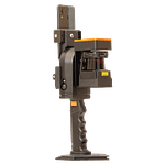
ZEB Revo RT
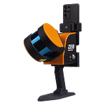
ZEB Horizon
ZEB Horizon RT
Want to know how GeoSLAM can help you?
News
Keep up to date with the latest news and thought leadership from GeoSLAM.
Where in the World is LiDAR Being Used? Top 6 Uses from 2021
With increasing awareness of LiDAR technology, its applications are becoming more diverse….
Popular Nottingham bar as you’ve never seen it before
Popular Nottingham bar as you’ve never seen it before A historic chapel,…
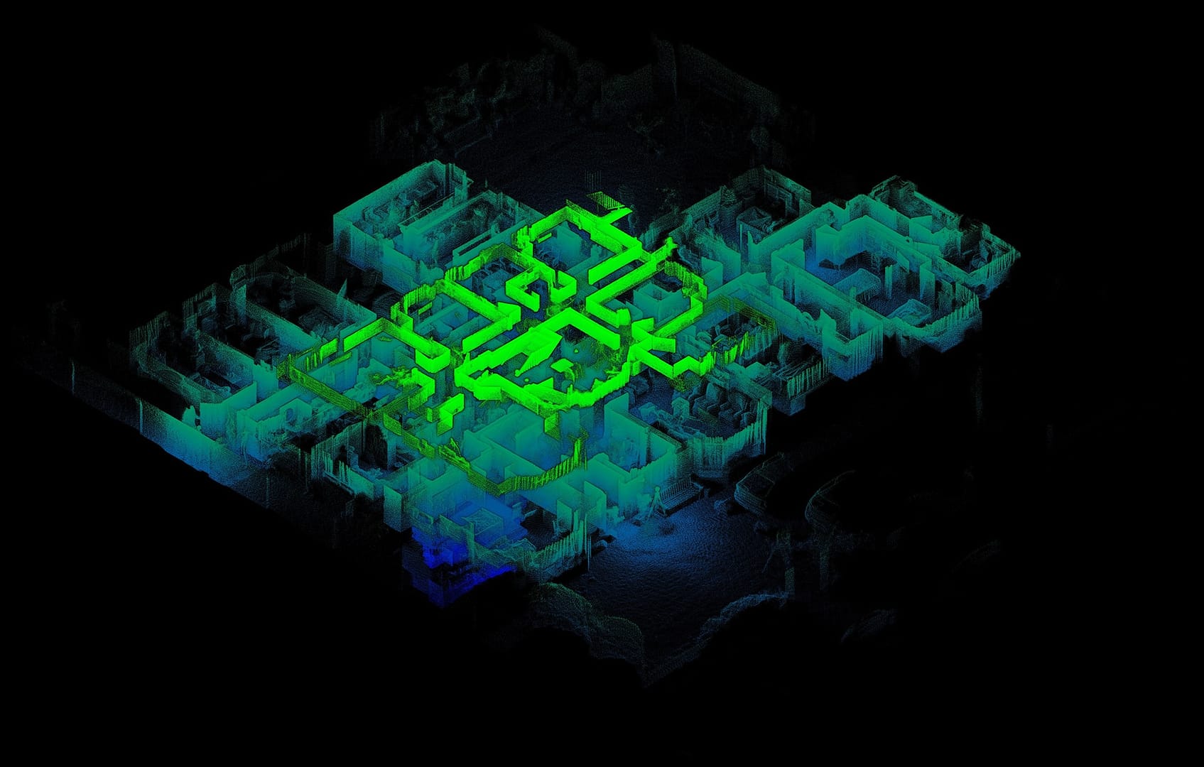
Using 3D laser scanning to map difficult environments
Using 3D laser scanning to map difficult environments The advances in handheld…


