Production Progress Mapping Made Easy
Make effective short term operational decisions, safely and quickly in newly mined production areas using mobile handheld SLAM data capture and processing.
If the excavation was right next to the office, you could capture an excavation and have the volume change in CAD in 1-1.5 hours.
Hours
– Pierre Gouws, Mine Surveyor
-P
– Pierre Gouws, Mine Surveyor
How does progress production mapping work?
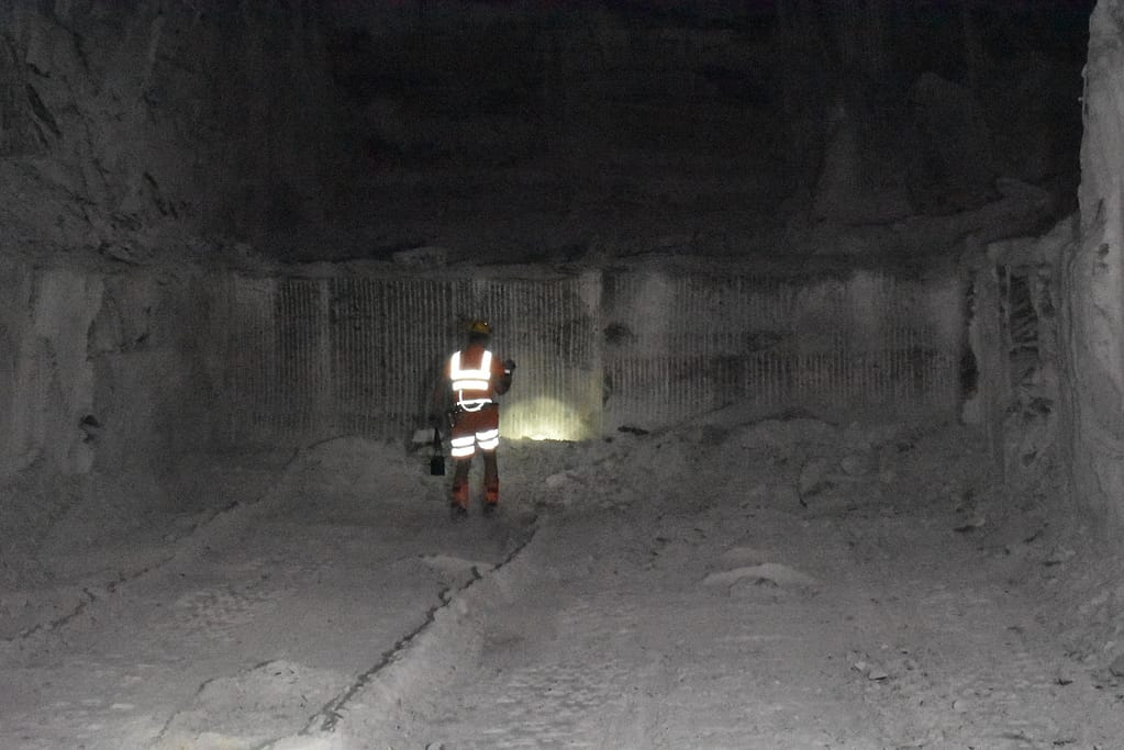
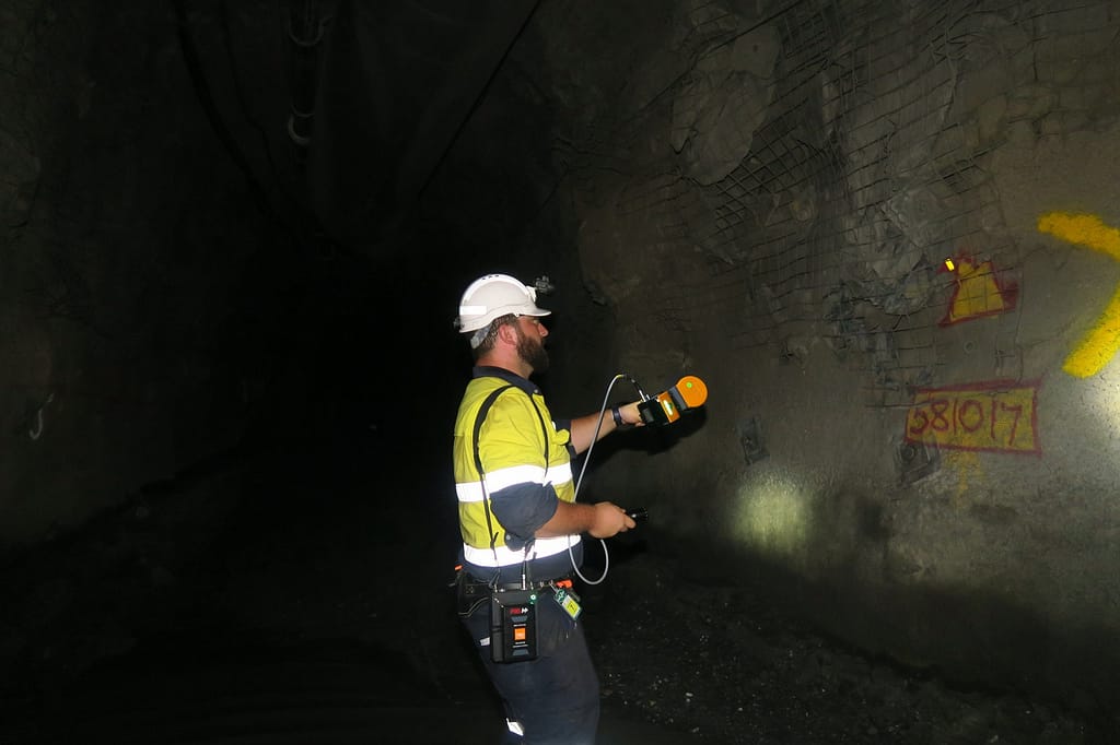
1. Capture
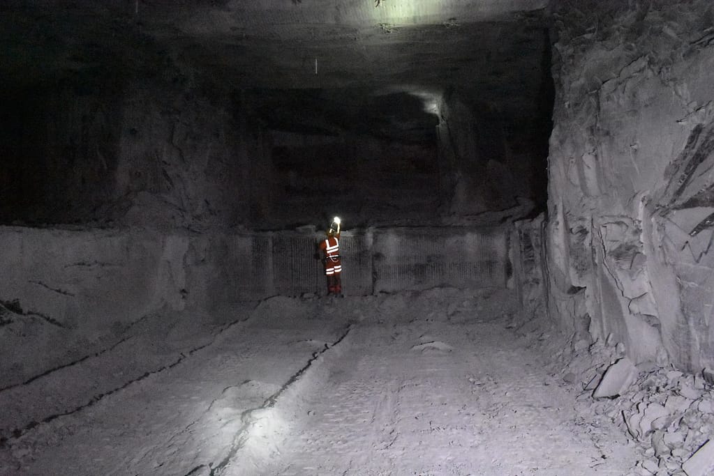
Safely and quickly move into newly mined production areas where new information is needed rapidly.

2. Process
Transfer the data to a computer, and GeoSLAM’s smart data platform, Connect will automatically start to process the data.

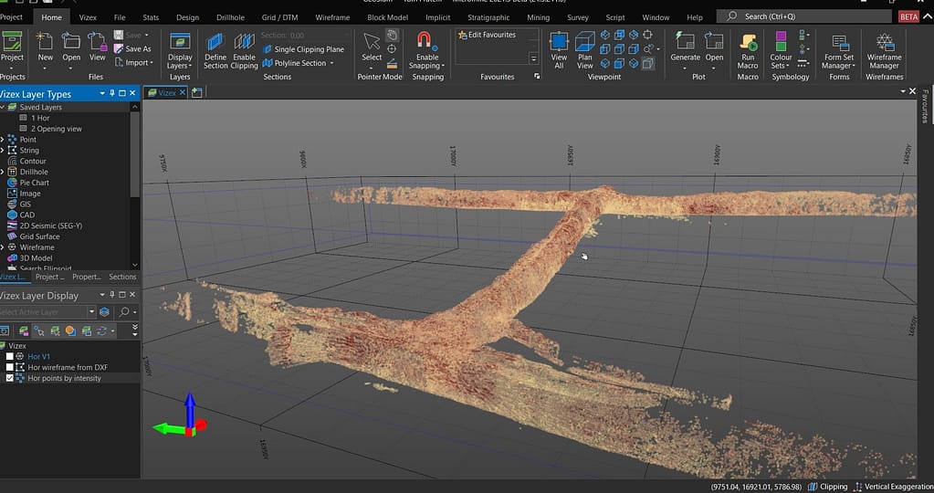
3. View
View your 3D data in the GeoSLAM Connect viewer to understand the environment and ensure that all the areas were captured effectively.

4. Manage
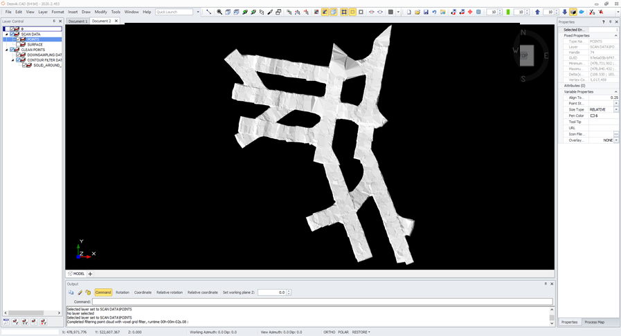
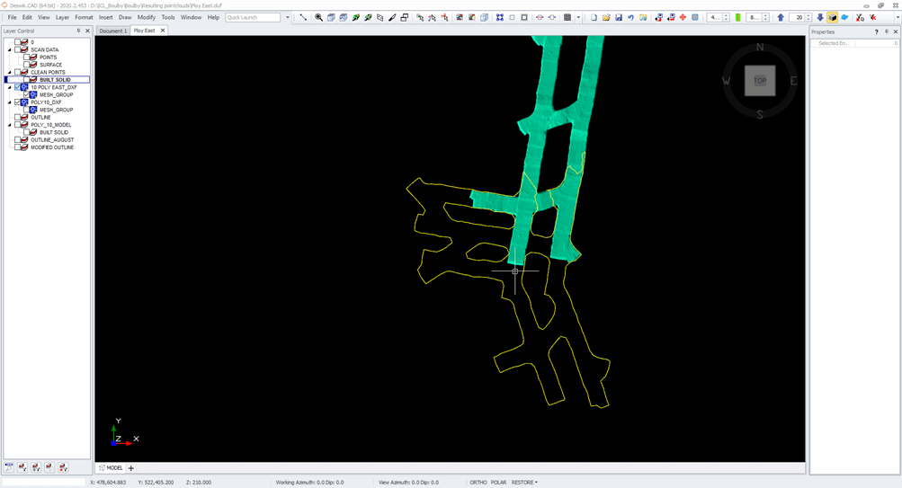
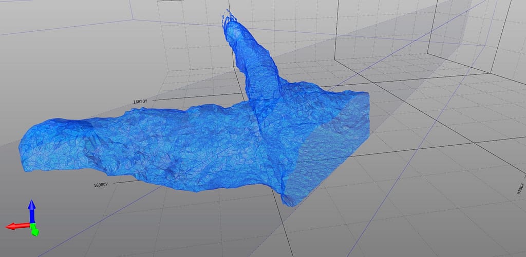
Use the exported data in any 3rd party system for further analysis by using cross sections, creating mesh or solids and comparing to a design. GeoSLAM data is seamlessly used and integrated into 3rd party software such as Micromine, Deswik and other leading software packages.
Third Party Software
Using GeoSLAM allows you to import your processed data from Connect into your existing mining software applications. This means you can optimise the data exactly the way you need it, without the cost of purchasing specific software and the hassle of learning a new system. Most leading mining software is compatible, including:
![]()
![]()
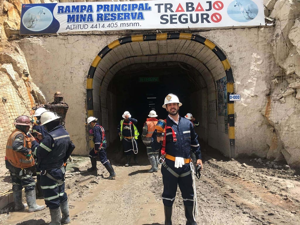
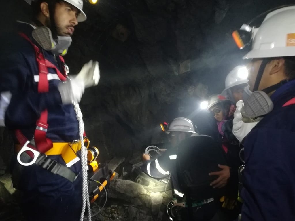
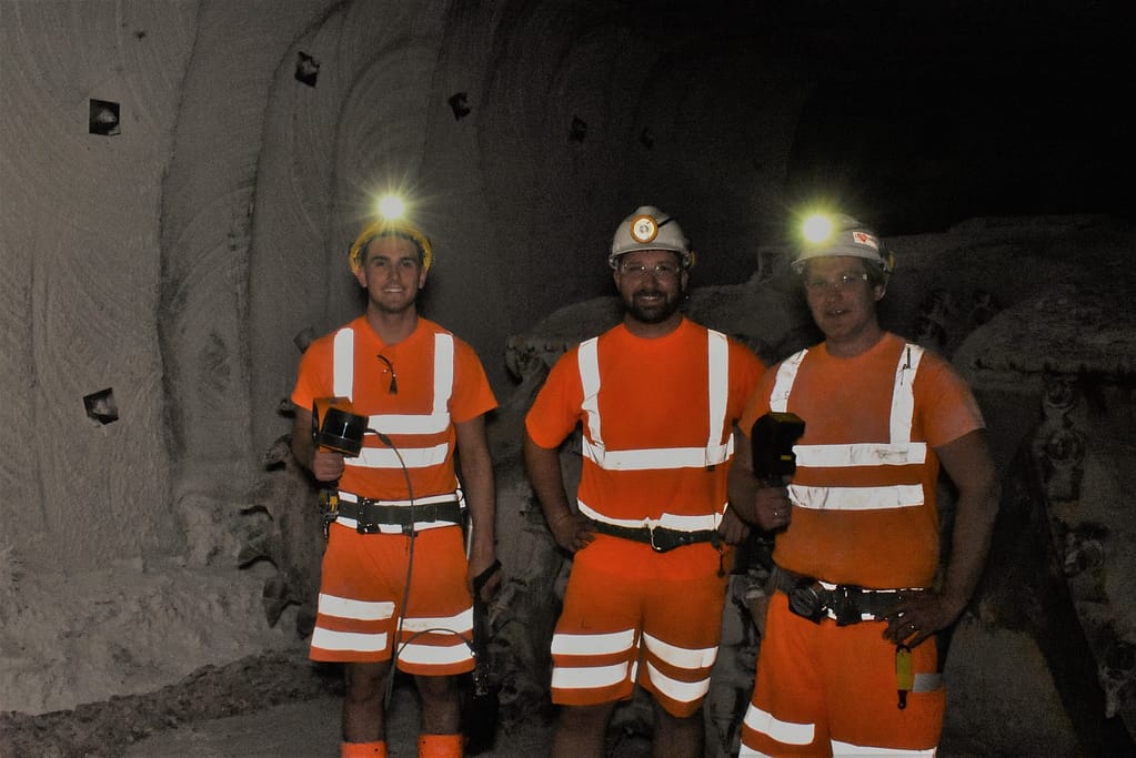
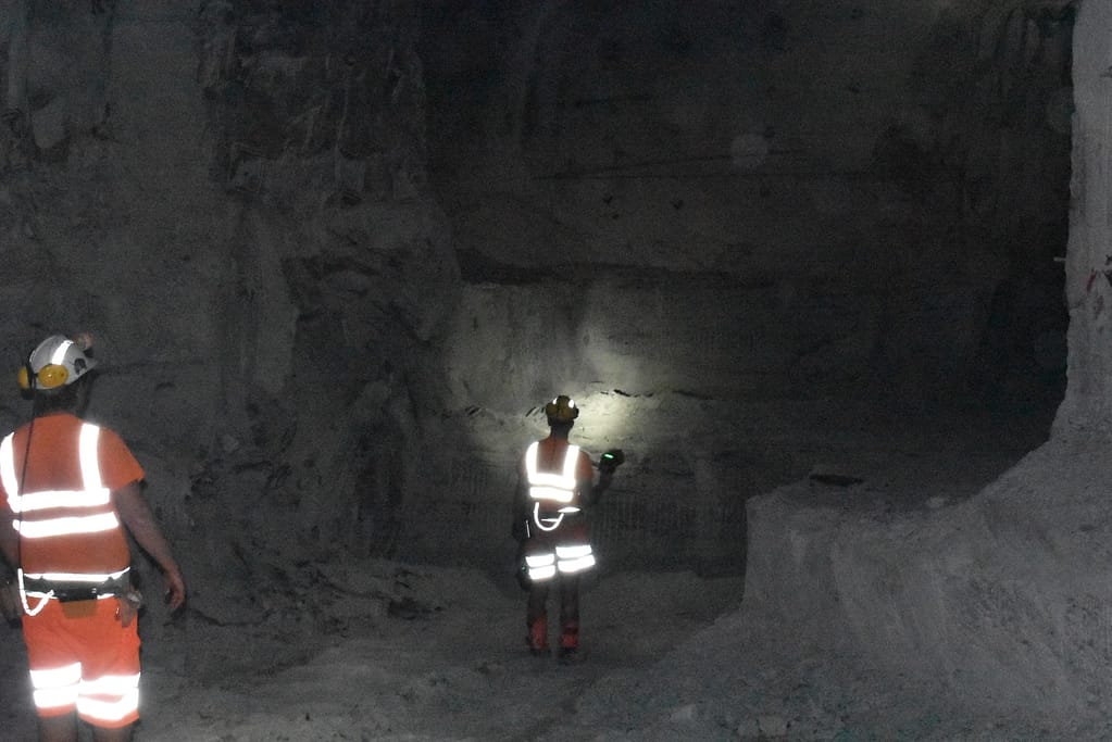
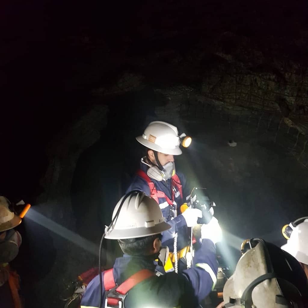
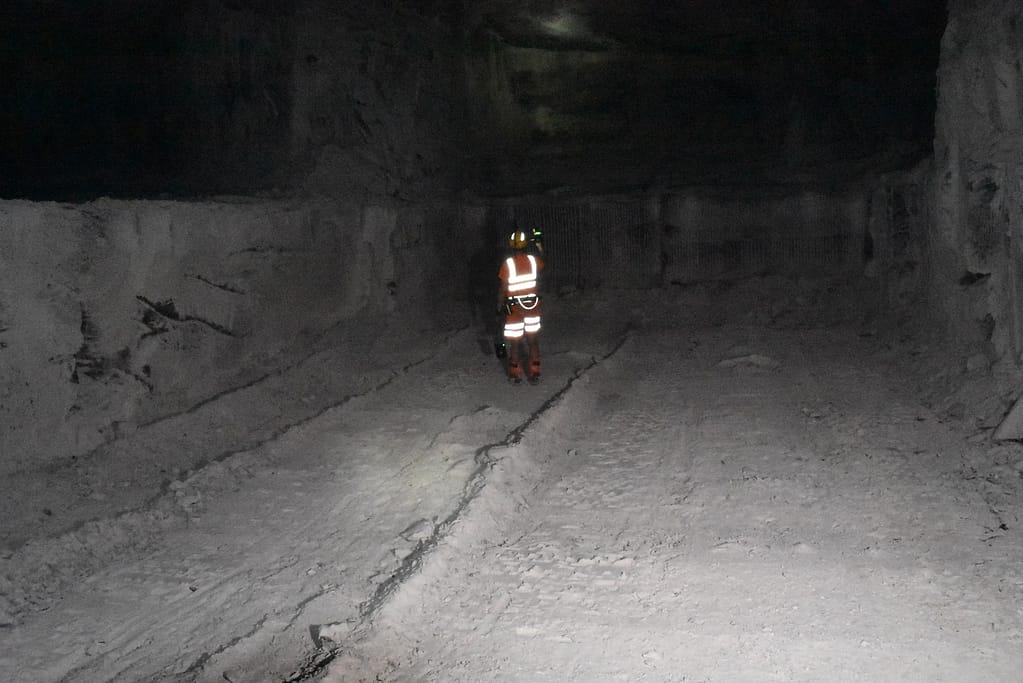
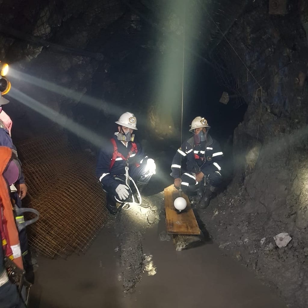
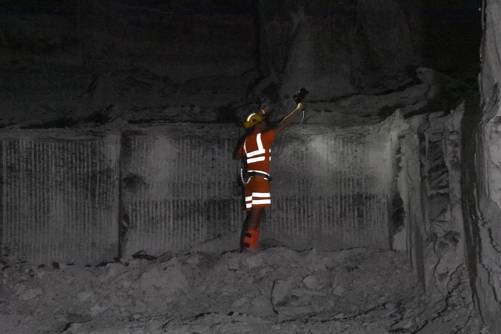
GeoSLAM for mining in action
See our 3D scanners being used for production progress mapping.


Which ZEB laser scanner is right for you?
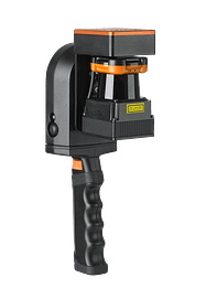
ZEB Go
Used mostly for scanning indoors or in underground mines and caves with an IP64 rating. Can be used outdoors and has a range of 30m.
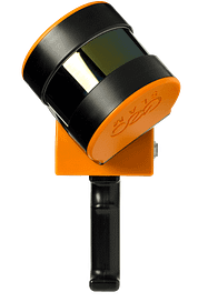
ZEB Horizon
The most flexible of the ZEB family with a range of accessories. Can be used to scan indoors and outdoors with a longer range of 100m.
Want to know more about GeoSLAM Progress Production Mapping?
News
Keep up to date with the latest news and thought leadership from GeoSLAM.
Why is Geospatial Information so Important?
Why is Geospatial Information so Important? Geospatial technology like LiDAR scanners can…
Underground 3D Mapping with handheld SLAM scanners
With the recent introduction and constant evolution of handheld SLAM (Simultaneous Localization…


