Leading global Real Estate organisations use GeoSLAM for:
Efficiency
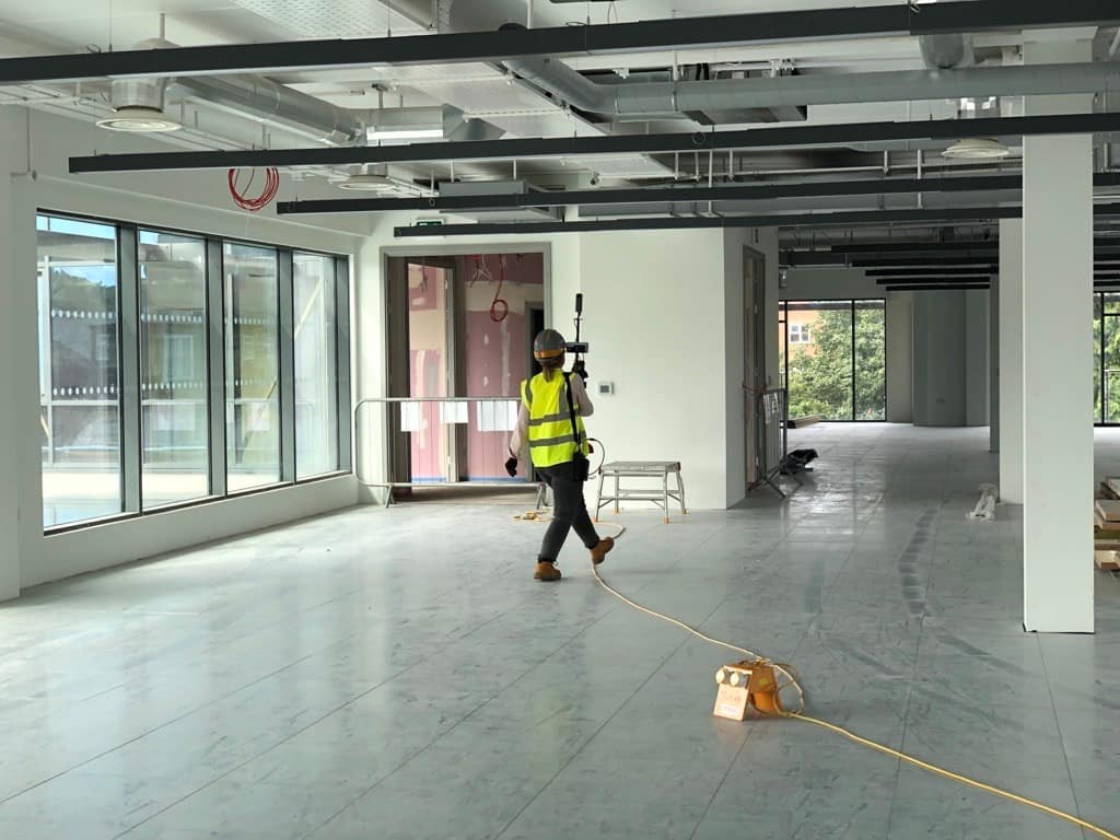
Mapping a property is something which needs to be done quickly, so as to be both unobtrusive to current occupants and to ensure agents can complete as many jobs in a day as possible.
Insourcing
Real Estate agents traditionally rely on surveyors to complete scans of properties, which can be expensive and time consuming.
Competition
The real estate market is highly competitive and there will always be another agent waiting to offer features that you don’t.
Convenience
Taking traditional static equipment to a large site isn’t convenient as multiple scans and site visits are required.
Why GeoSLAM?
Solutions for Real Estate
Do you need fast and accurate floorplans?
Do you have lots of buildings to manage or need to measure the same place often?
Do you want to own the data collection and storage?
We can help with all of those.
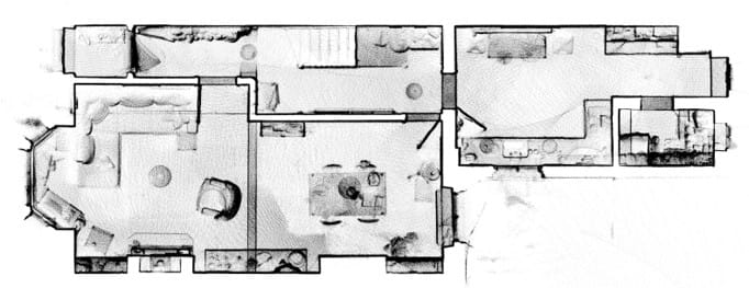
Floorplans is an accurate and fast way to manage large property portfolios using mobile LiDAR and automated analytics.
The Real Estate sector is on the move
With ever accelerating technological advances year on year, businesses across all sectors cannot afford to become complacent. We only have to think of companies who have failed to innovate and have been left behind as rapid digitalisation overtook their dated business models, with examples like Blockbuster and Kodak easily coming to mind.
Real estate is not immune to technological advances and those that move to adopt new technology quickly enough, often end up being the biggest beneficiaries. Traditionally real estate businesses tend to fall behind when it comes to adopting new trends, however in recent years with the introduction of PropTech, more companies in this sector are exploring what technology could do for them.
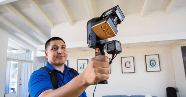
GeoSLAM in action
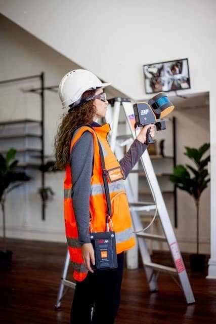


‘GeoSLAM’s solutions are changing the way we survey buildings. We can now measure building plans 10-times faster than we used to. We chose GeoSLAM over other terrestrial scanners for our residential projects because of the speed and volume of data acquisition at exactly the level of accuracy required by our clients. In bringing the ZEB REVO into our arsenal of tools, we’ve introduced an efficiency that allows our experts to get out there and do more for our clients.’
Greg Davies
Director of Survey Technology, PPM
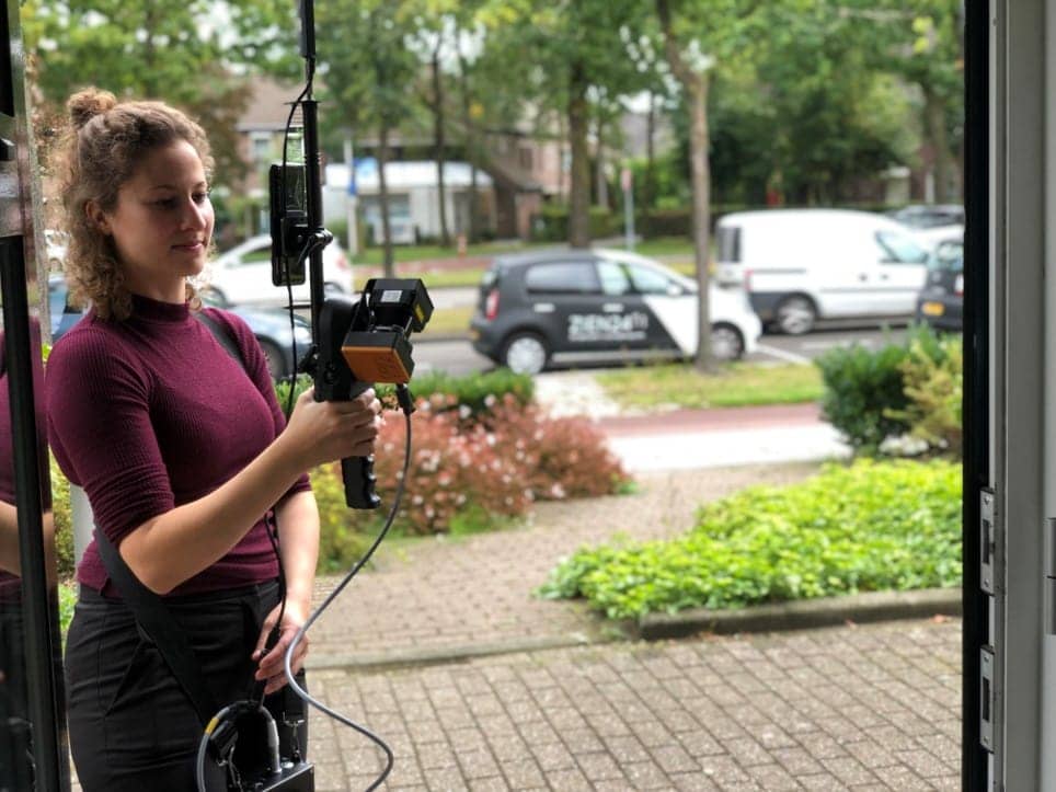
“We realised we needed a faster and more
accurate surveying method to meet our clients’
requirements and GeoSLAM’s ZEB PANO was the
obvious choice,”
Boy Van Houten
Co-founder, Zien 24
Case Studies


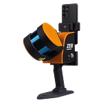
Which ZEB is right for you?
ZEB Go
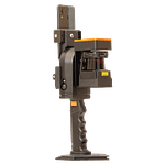
ZEB Revo RT
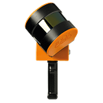
ZEB Horizon