Leading global engineering organisations use GeoSLAM for:

Safety
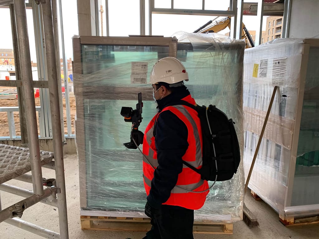
In difficult, demanding and hazardous environments, use SLAM to reach zero-harm

Speed
Rapidly and accurately map production environments under intense time pressure, without slow and labour intensive traditional surveying techniques

Workflow
From easy to use data capture, to full integration with existing workflows and software

Operational optimisation
Easy to adopt technology to benefit every part of the production cycle, without the need for a surveyor
Why GeoSLAM?
Solutions for Engineering
Do you want to keep digital records of site progress?
Do you need a way of collecting data that is easy for anyone to use?
Do you need accurate and unbiased records?
Do you want to own the data collection and storage?
We can help with all of those.
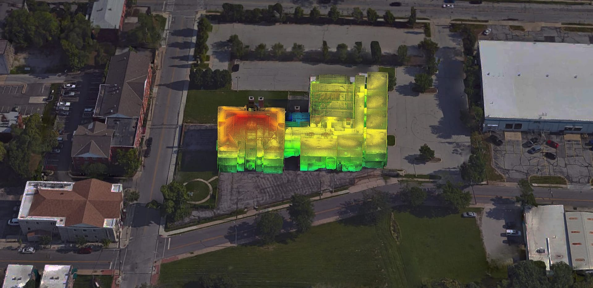
Construction Progress is your tool for keeping track of progress using mobile LiDAR and automated analytics.
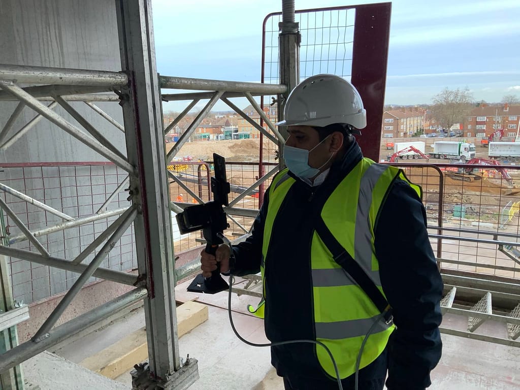
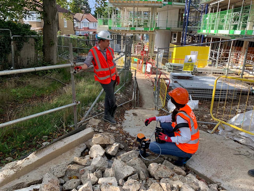
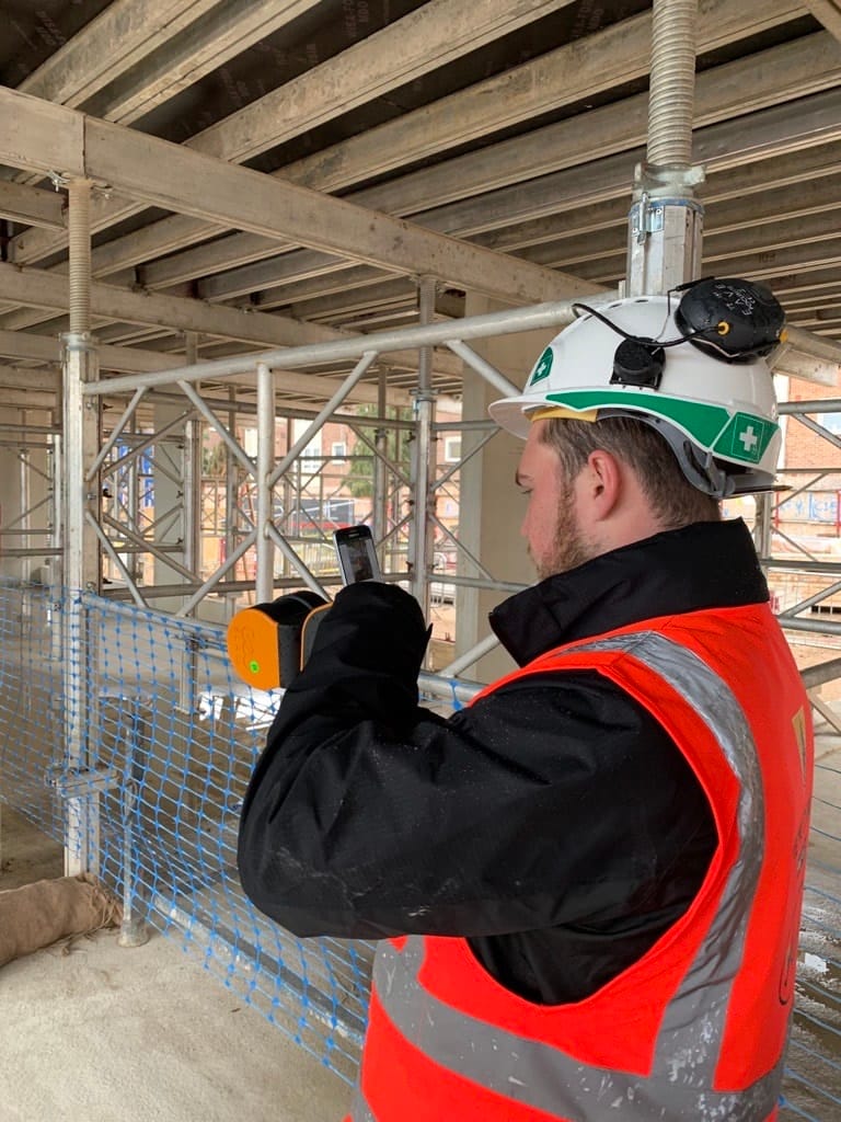
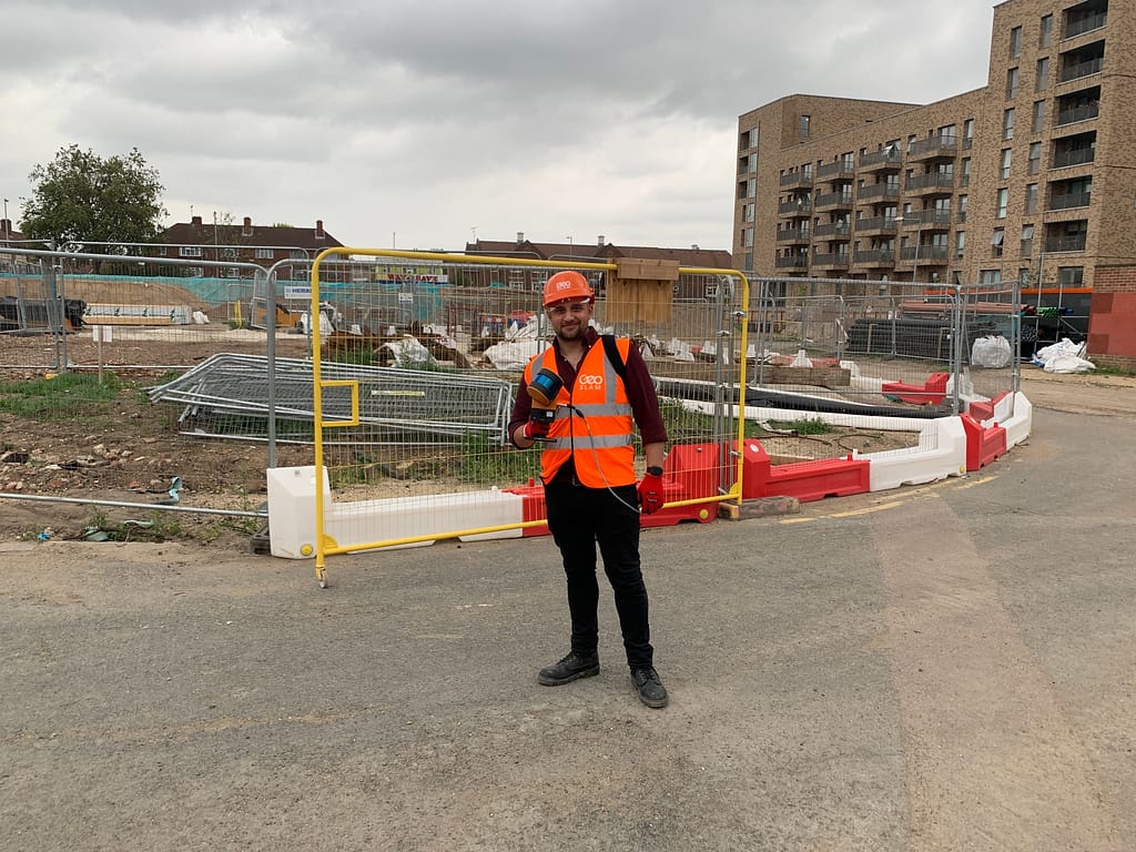
GeoSLAM in action

‘GeoSLAM’s solutions are changing the way we survey buildings. We can now measure building plans 10-times faster than we used to with traditional equipment, and we are able to capture more information.’
COWI
‘The efficient user-friendly GeoSLAM equipment enabled the team to safely and comprehensively survey this hazardous and complex plant. The 3D model
provided an accurate replica which the various specialists
and role players could safely and accurately analyse for activities such as material quantification, condition assessment and the preparation of decommissioning
method statements.’

Richard Matchett
Digital Practice Leader, Aurecon
‘A huge time saving
exercise which would ordinarily
have taken 40 times longer
using traditional surveying
methods’
Virtual Singapore
Case Studies


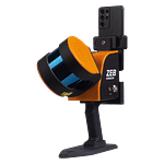
Which ZEB is right for you?
ZEB Go
ZEB Revo RT
ZEB Horizon
ZEB Horizon RT
Want to know how GeoSLAM can help you?
News
Keep up to date with the latest news and thought leadership from GeoSLAM.
What is BIM and how does it impact the construction industry?
What is BIM and how does it impact the construction industry? There’s…
Q&A with Osvaldo Neira of GeoSLAM Dealer GEOCOM
Osvaldo Neira is a Mining Applications Engineer at GEOCOM, a GeoSLAM dealer…
Laying high speed internet cables with GeoSLAM
Laying high speed internet cables with GeoSLAM with UTB and A1 Telekom…


