Convergence Analysis Made Easy
Using GeoSLAM Convergence Analysis provides rapid, regular, cost effective ways of understanding change.
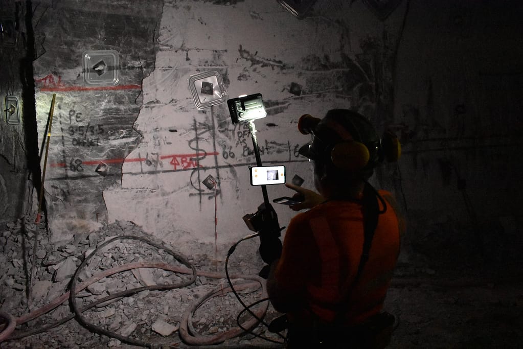
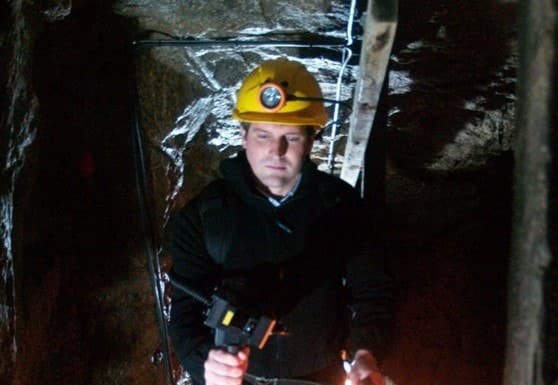
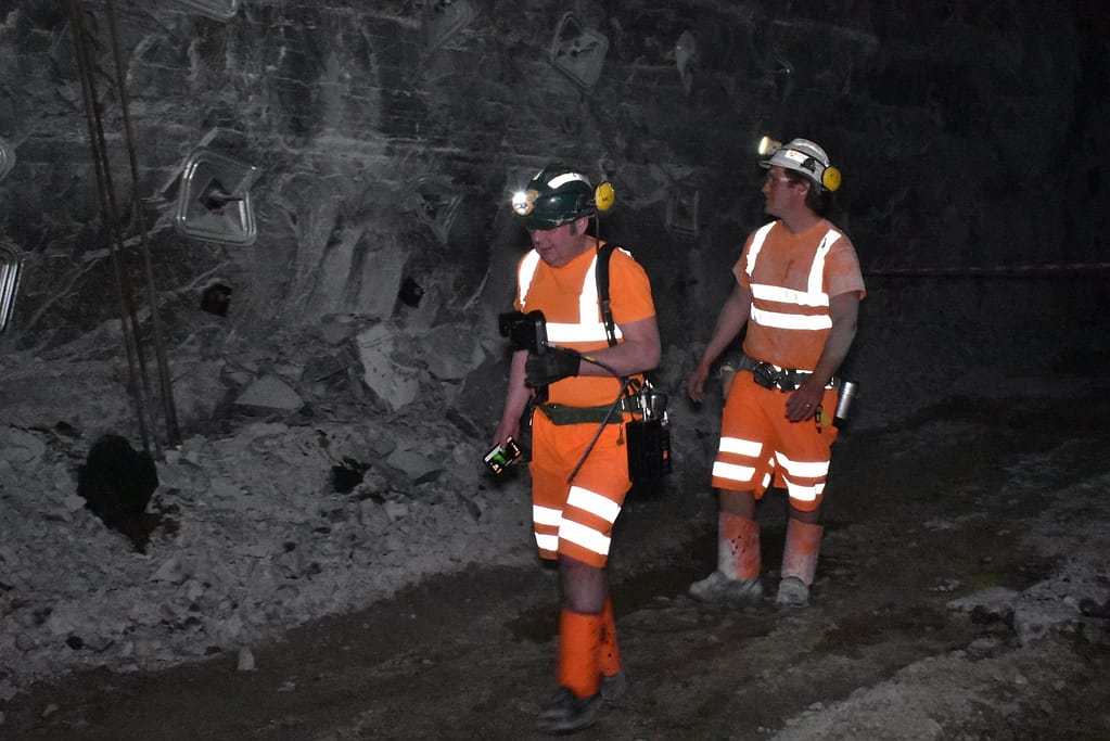
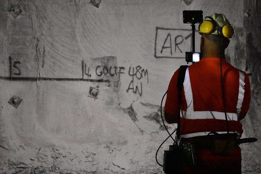
Detecting velocity of change of rock movement is not only operationally important but can also be a critical indicator of potential slope / rockface instability. With GeoSLAM’s ZEB family of handheld laser scanners, you have the ability to get in and out of dangerous areas much faster than previously possible, as well as making it much easier to make repetitive scans. With a greater amount of information available due to the easier, cheaper and more frequent scanning, convergence analysis decisions can be made faster saving time, money and increasing safety. Exported data can also be used in existing mining software on site, meaning it can be analysed using software that is already familiar to the team.
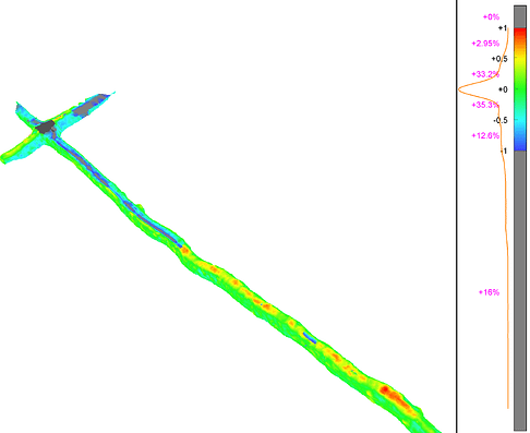
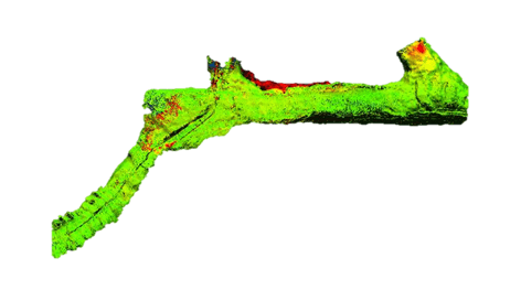
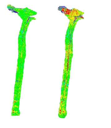
Quickly identify failure points and areas of displacement
Adjust to control
Adjust to control allows for the data to be georeferenced as part of the SLAM processing. This means all data exports will be in the right coordinates, and can be imported directly to the mine plan or for comparative analysis.
What makes GeoSLAM adjust to control different?
Third Party Software
GeoSLAM data is seamlessly used and integrated into 3rd party software such as MICROMINE, Deswik and other leading software packages. This means you can process it using the system you already have and are comfortable using.
Measure rock support and check for failures
How does Convergence Process work?
GeoSLAM Convergence Analysis combines hardware and advanced SLAM to deliver important information, rapidly.
1. Capture
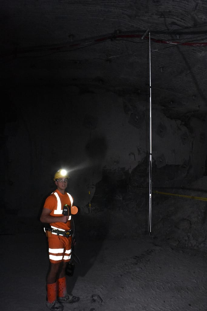
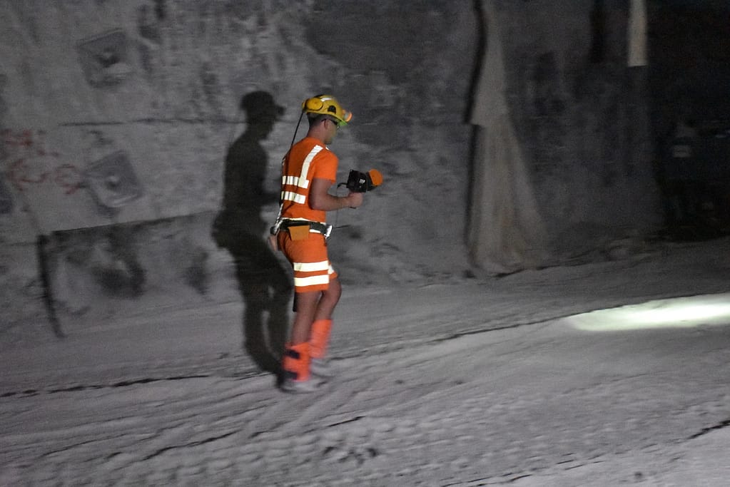
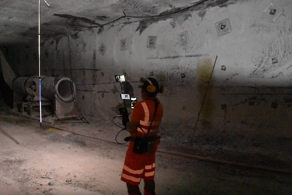
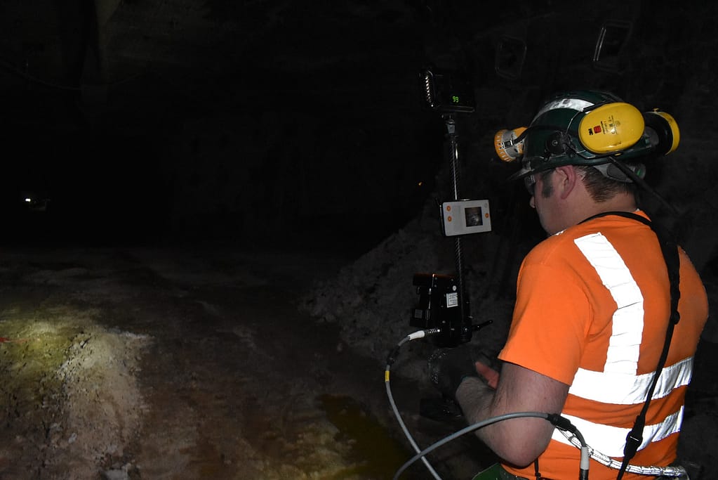
Safely and easily move around tunnels to be checked – with our without control points .
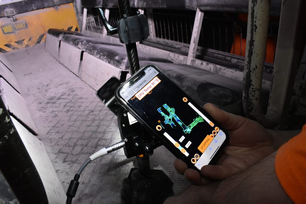
2. Processing
Transfer the data to a computer, Connect carries out automatic data processing.
3. View
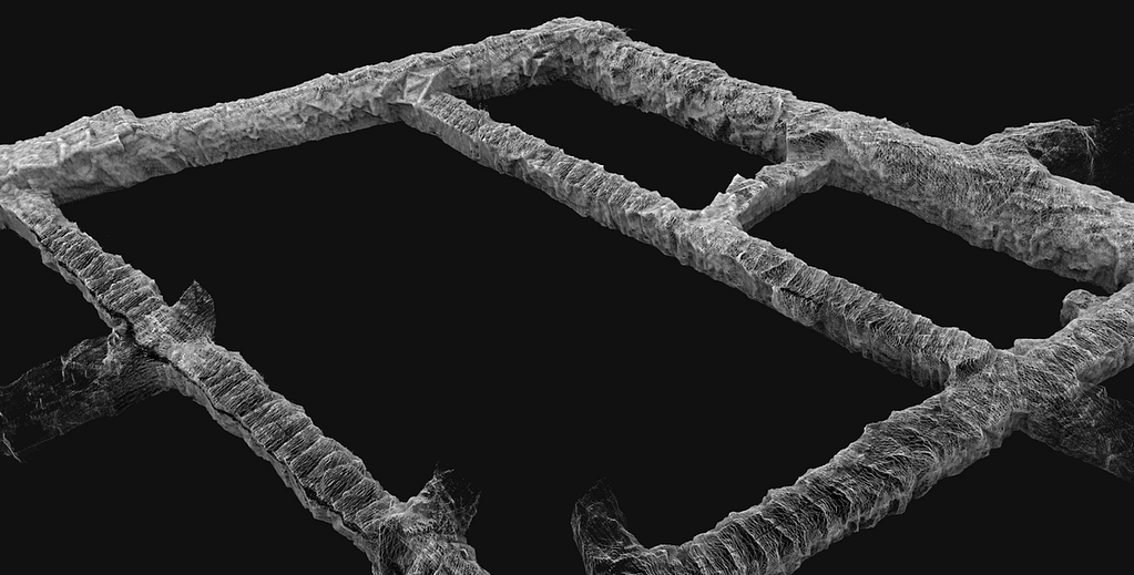
See and quality control your processed digital 3D data in a few minutes. Choose your preferred output format and create a full or sub-sampled data set to export.
4. Manage
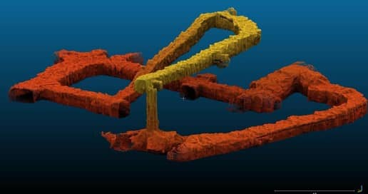
Your 3D dataset can be used to analyse time based tunnel displacements in a wide range of mine software.
Why use GeoSLAM for Convergence Analysis?

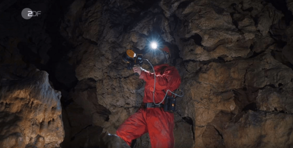
“Go-anywhere” scanning –
Safely opening up areas ordinarily off-limits.
Our fully-mobile technology is adaptable to any environment, especially dangerous spaces, without the need for GPS. Our laser scanners are lightweight and easy to use – you can walk with the handheld and survey accessible areas, or attach it to a trolley, drone, pole or vehicle for more confined or hazardous spaces.
Save time and money –
a fast, all-in-one solution.
You can capture and calculate complex data up to 10 times faster than traditional tools, with little or no disruption at the site. Decrease time spent in dangerous areas, increase measuring frequency and drive down costs. With GeoSLAM Convergence Analysis you can work out the velocity of change using rapid scanning and adjust to control.

Rapid, easy to use technology – Giving you more information, faster.
Within minutes anyone can be operating the technology. The speed and ease of use means that you have the ability to scan not just before and after, but in between as well, giving you greater flexibility and more information to work with. You will be able to better track the velocity of change, in a much faster and easier way than traditional survey methods.
GeoSLAM for mining in action
See our 3D scanners being used to make convergence mapping safer.


CASE STUDY: Beck Engineering
With GeoSLAM’s ’go-anywhere’ 3D technology, Beck Engineering has immediate access to invaluable data regarding underground conditions. This time-sensitive information means we can accurately measure the shape of an excavation or tunnel over time.
Location: Perth, Australia
Industry: Mining
Scanned: Nine Tunnels
Rugged, easy to deploy mapping for safe, productive underground mining.
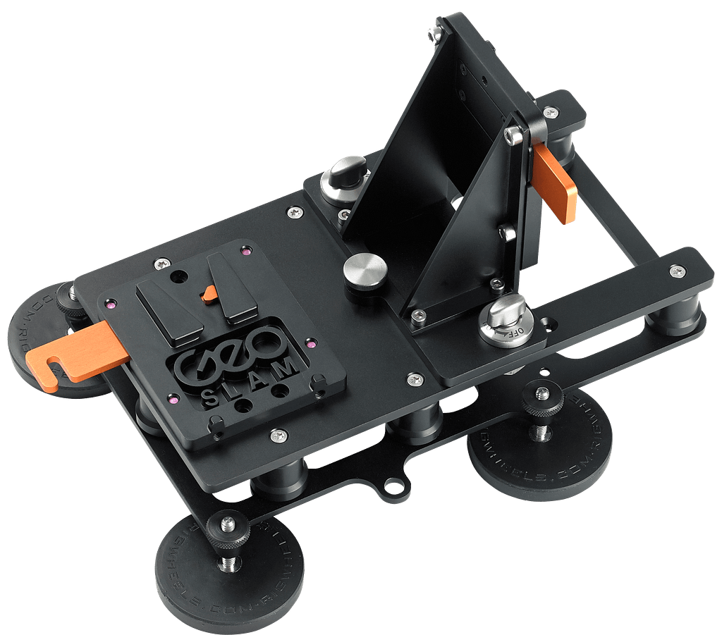
With multiple deployment options, the ZEB family is tried and tested in underground mining. Handheld, pole mounted or car mounted, there are solutions for accessing all kinds of areas, faster and safer.
Which ZEB laser scanner is right for you?
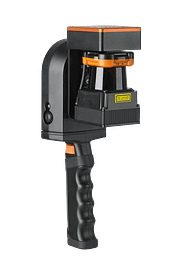
ZEB Go
Used mostly for scanning indoors or in underground mines and caves with an IP64 rating. Can be used outdoors and has a range of 30m.
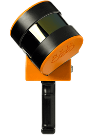
ZEB Horizon
The most flexible of the ZEB family with a range of accessories. Can be used to scan indoors and outdoors with a longer range of 100m.
Want to learn more about GeoSLAM and how it could transform your business?
News
Keep up to date with the latest news and thought leadership from GeoSLAM.
Why is Geospatial Information so Important?
Why is Geospatial Information so Important? Geospatial technology like LiDAR scanners can…
Underground 3D Mapping with handheld SLAM scanners
With the recent introduction and constant evolution of handheld SLAM (Simultaneous Localization…


