Leading global Security and Defence organisations use GeoSLAM for:
Efficiency
For first responders, mapping a crime scene or accident quickly is critical and could be the difference in securing convictions.
Instant decisions
Processing a crime scene can take a long time, and critical clues can be missed if things aren’t completed in a timely fashion.
Assessing for safety
Those who attend a scene, particularly fires and other accidents, may have to deal with potentially unsafe structures or terrain.
Cost effectiveness
Strict budgets often dictate the equipment that is available to the police service.
Why GeoSLAM?
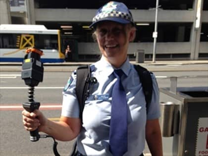
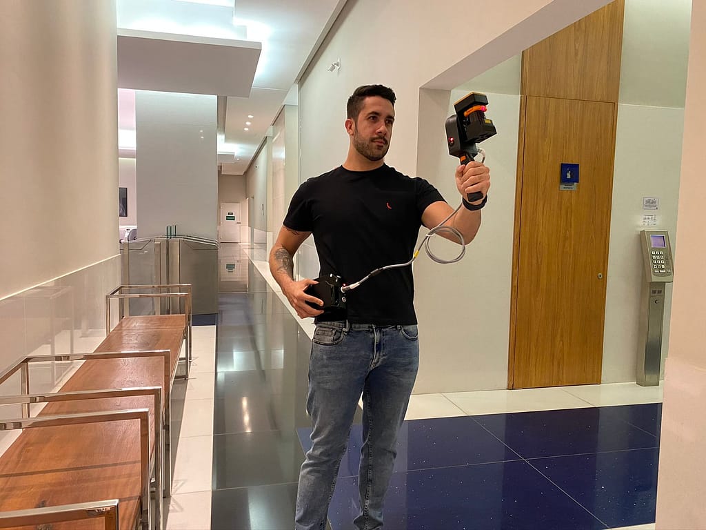
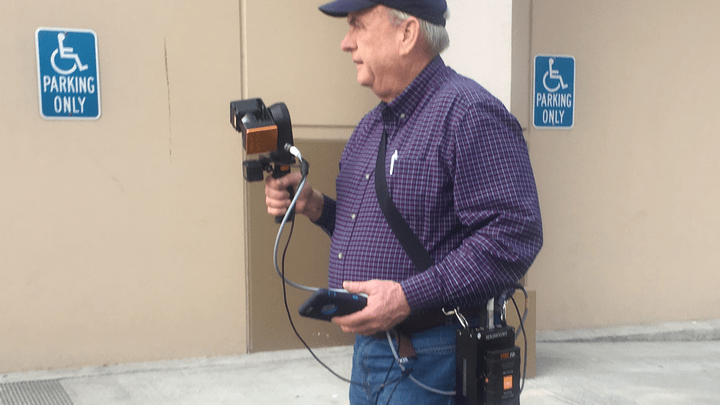
GeoSLAM in action
“Active shooter incidents are a growing concern in the United States, with death tolls, most predominantly in schools, rapidly rising and law enforcement resources stretched beyond breaking point. Our team is working alongside law enforcement to compress response times, by utilizing 2D floor plans and 3D models developed from GeoSLAM technology. We chose the ZEB REVO-RT for its portability and it provides us with the necessary accuracy and is much more time efficient than other laser scanning technologies.”

Robert W. Myers J.D.
CEO, ENTROPY GROUP
Case Studies
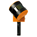
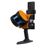
Which ZEB is right for you?
ZEB Go
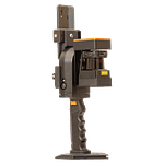
ZEB Revo RT
ZEB Horizon
ZEB Horizon RT
Want to know how GeoSLAM can help you?
News
Keep up to date with the latest news and thought leadership from GeoSLAM.
Why is Geospatial Information so Important?
Why is Geospatial Information so Important? Geospatial technology like LiDAR scanners can…
New UK partnership with drone specialists Heliguy
GeoSLAM has partnered with Drone specialist HELIGUY.com™ to provide professionals with sophisticated…


