
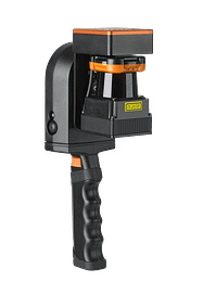
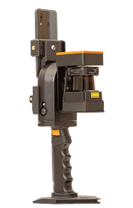
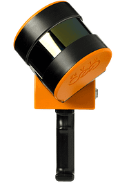
Add 360° panoramic photography to your point clouds
Enhance your property surveys with ZEB Pano
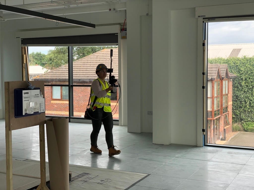
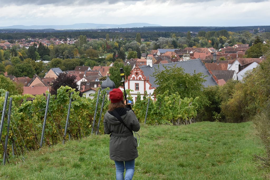
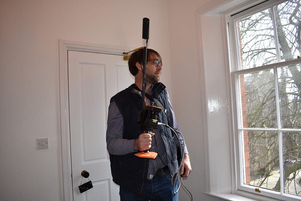
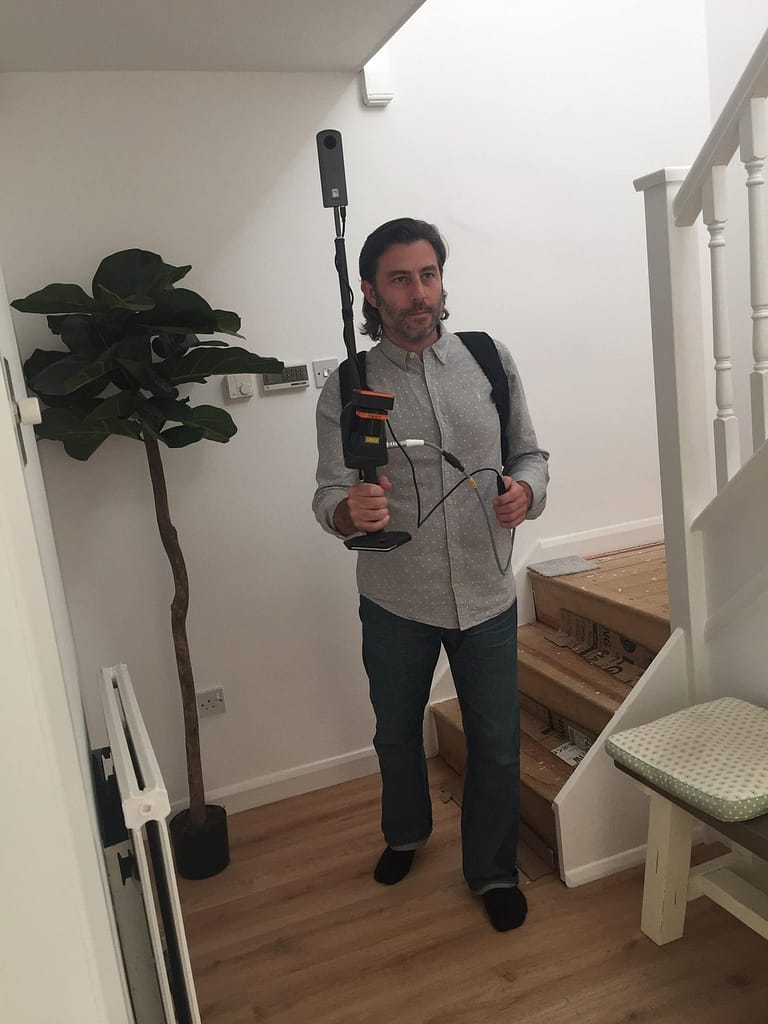
Using the ZEB Go, ZEB Revo RT or ZEB Horizon, capture and create real estate and commercial property floorplans with informative 360° panoramic photography.
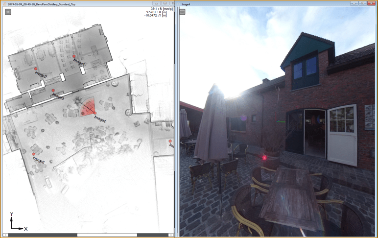
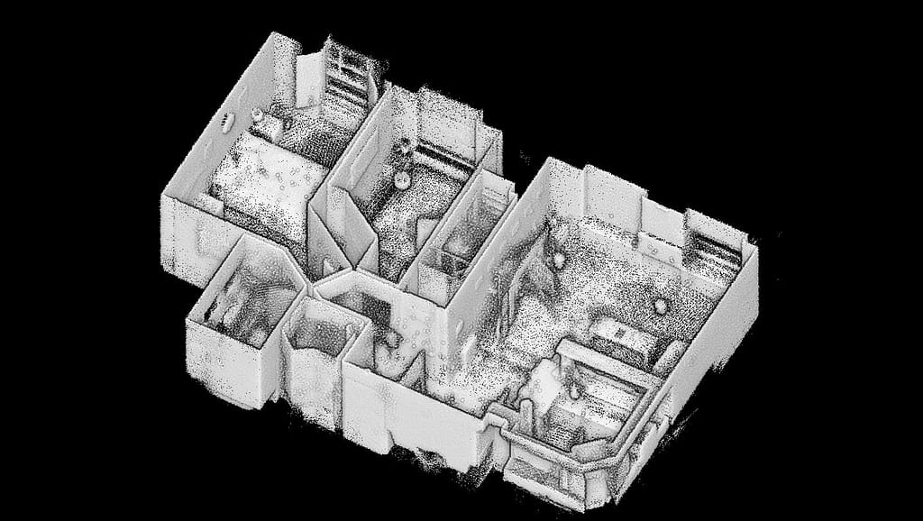
3D measurable information and imagery captured with the ZEB Pano uses the leading SLAM algorithm to automatically and accurately position panoramic photos and enables the creation of both 2D and 3D property floorplans.
The ZEB Pano is the tool you need to digitalise your surveying and property marketing process.

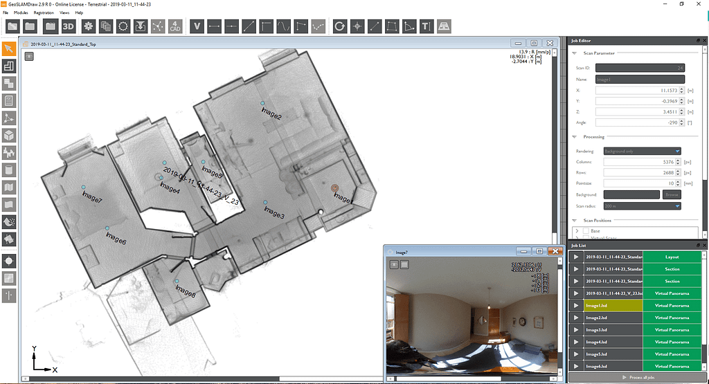
GeoSLAM Draw Software
Get more from your point clouds with GeoSLAM Draw.
Use our Draw Start package to import and visualise your point cloud with your ZEB Pano images which can be used for contextual image referencing. The images are placed in the correct position with angle direction which helps to orientate them within the dataset.
If you require the ability to share the data with different users, then the Draw Plan package is for you. This means the data can be shared via Web Export and other users can access the data without the need for a license.
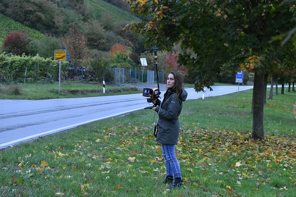
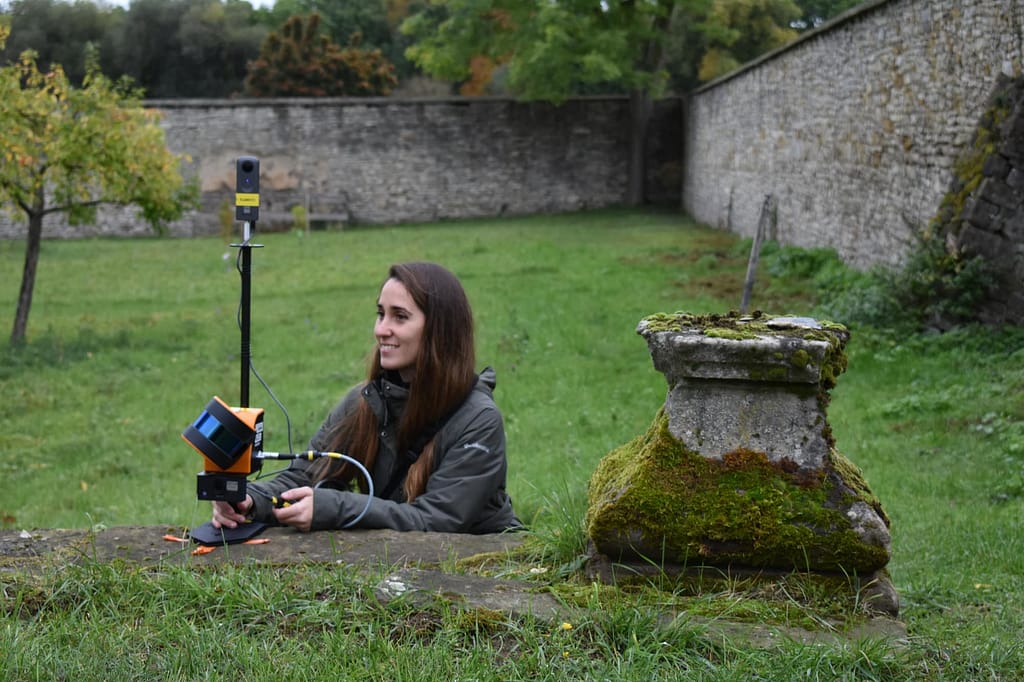
The ZEB Pano in action


Case studies


See which products the ZEB Pano can be paired with
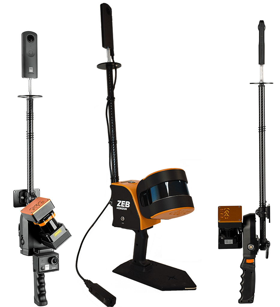
ZEB Go
Used mostly for scanning indoors or in underground mines and caves with an IP64 rating. Can be used for applications such as construction/BIM or creating floorplans. Can be used outdoors and has a range of 30m.
ZEB Revo RT
Real-time processing which means you can visualise the scan as you move. Has a range of 30m and IP51 rating. Used mostly for scanning indoors and utilised for applications such as construction/BIM or creating floorplans.
ZEB Horizon
The most flexible of the ZEB family with a range of accessories which makes it suitable for lots of different applications. Can be used to scan indoors and outdoors with a longer range of 100m. Collect data using a UAV or vehicle, or pair with a backpack and GPS antenna for precise location positioning.
Want to know more about the ZEB Pano?
News
Keep up to date with the latest news and thought leadership from GeoSLAM.
GeoSLAM takes a stroll down mystery lane
Revealing the fascination of a unique historic treasure A famous historic…
GeoSLAM helps engineering company Aurecon streamline decommissioning project
All over the world, countries are looking to nuclear and hydro renewables,…
GeoSLAM helps leading media company Zien24 revolutionise their digital workflow
The real estate market is fast-moving and highly competitive. Estate agents are…


