
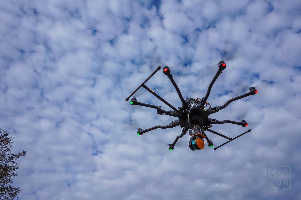
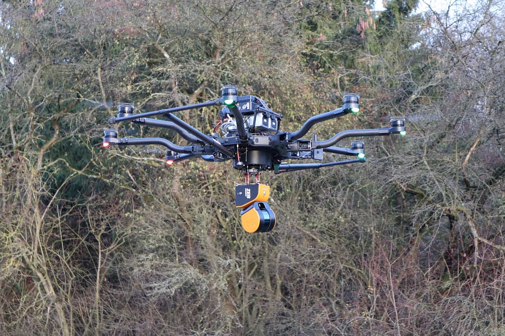
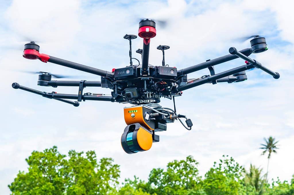
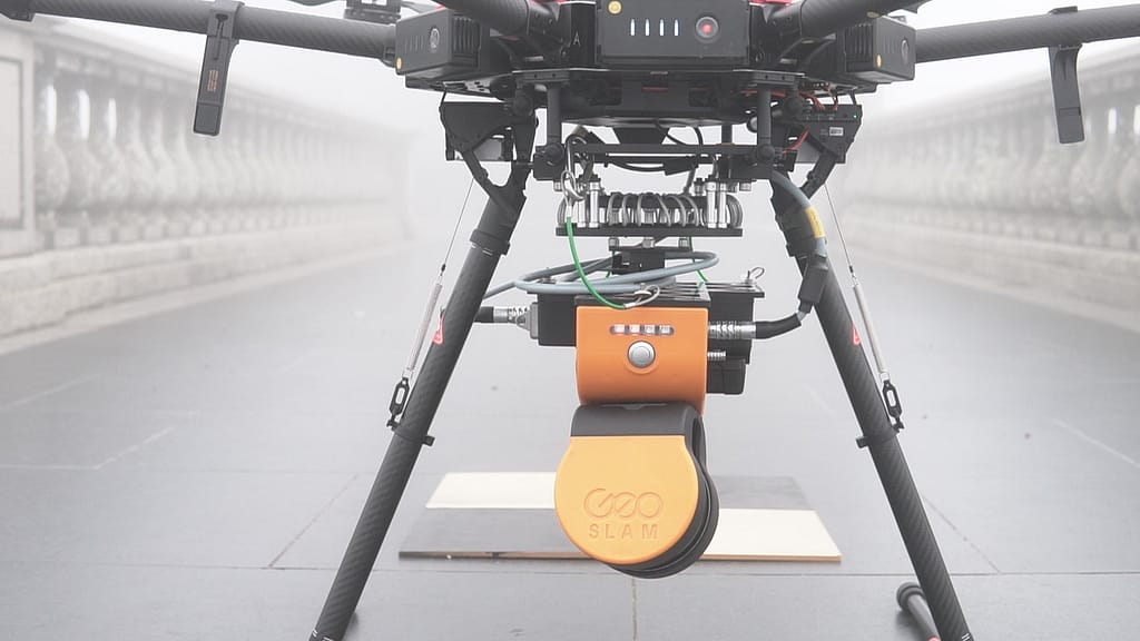
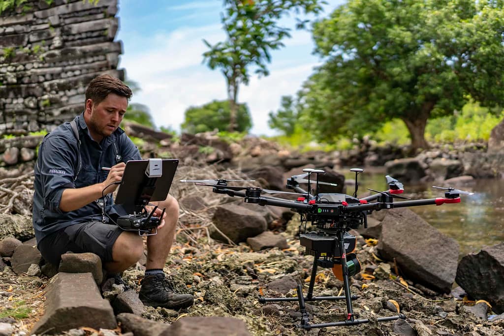
Create 3D point clouds using the strongest UAV SLAM
Collect 300,000 data points per second from the world around you
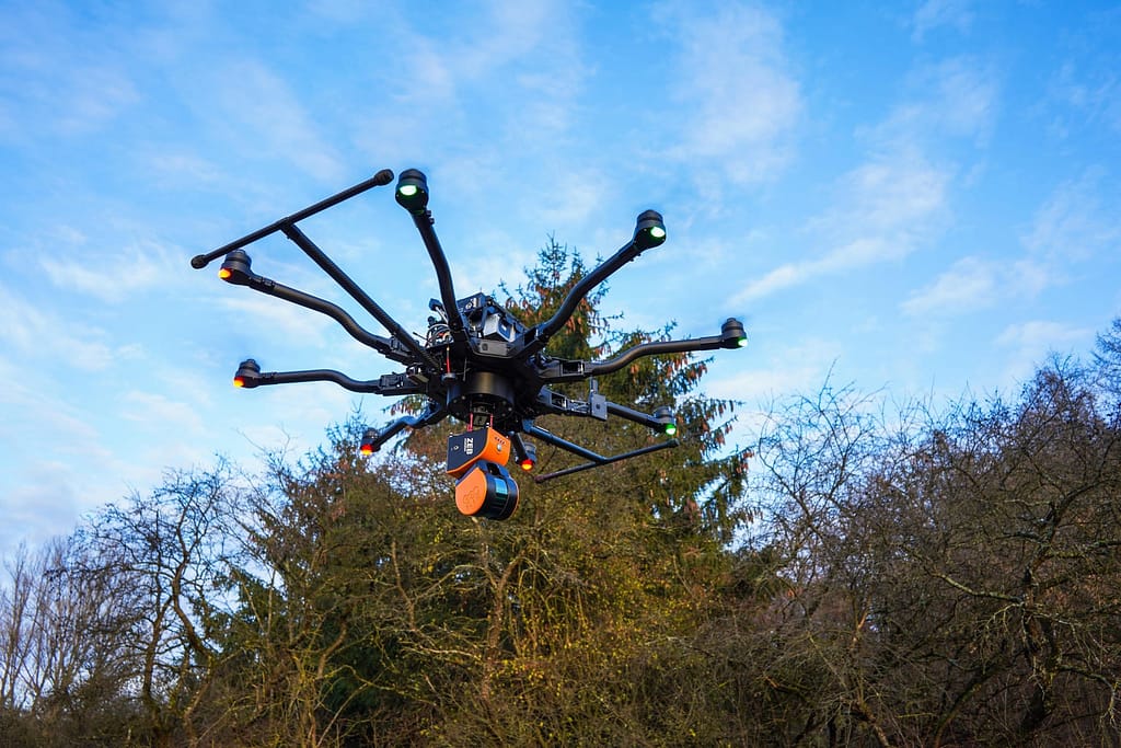
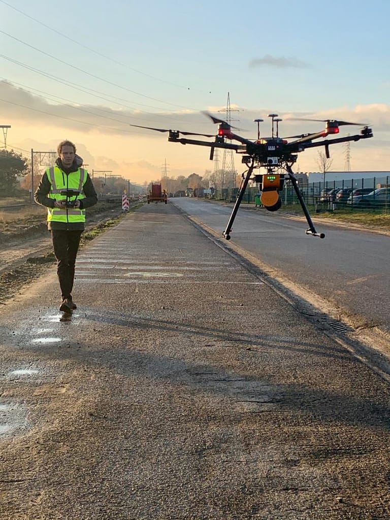
Using a standard ZEB Horizon with one of our quick release drone mounts, you can go from walking to flying in minutes.
Subtitle for This Block
Title for This Block
Text for This Block
Meet the Elios 3 – Surveying the inaccessible
The Elios 3 Surveying Solution brings together the best of confined spaces drone data capture with 3D Geospatial software technology through it’s integration with GeoSLAM’s high accuracy mapping SLAM software, GeoSLAM Beam and Connect processing software.
UAV SLAM applications

Agriculture
Collect useful data such as stock volume and vegetation density.
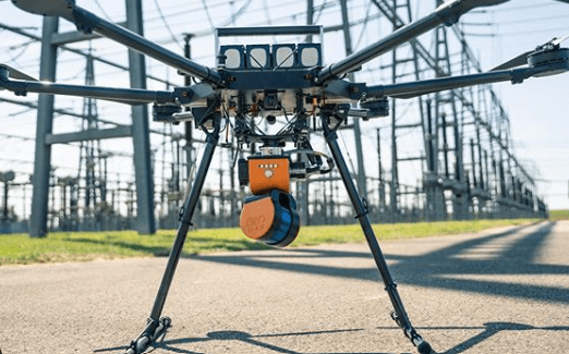
Utilities
Safely manage assets and identify sagging issues through change detection.

Security & Defence
Rapidly map areas for threats, and instantly record and process incident scene data.

Forestry
Plan and manage ecosystems with tree count and height measurements.

Mining
Monitor site operations and hazards, without the need for GPS.

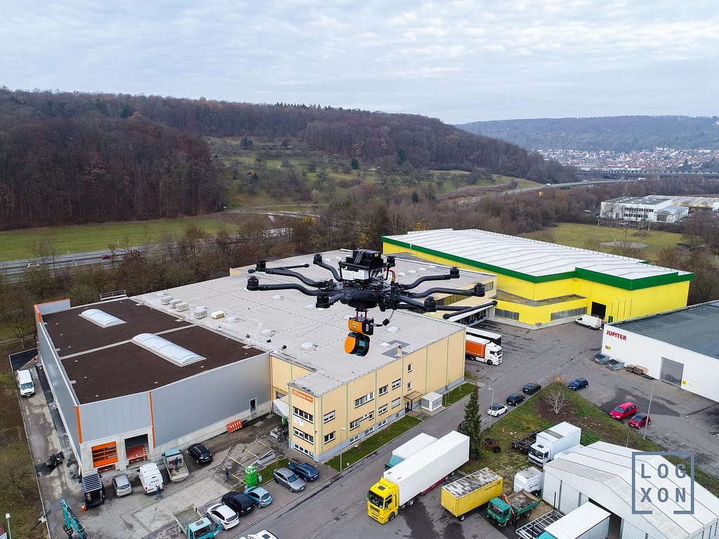
Construction
3D mapping that helps you at every stage of the digital construction lifecycle.
UAV SLAM in action

Here’s what our customers are saying
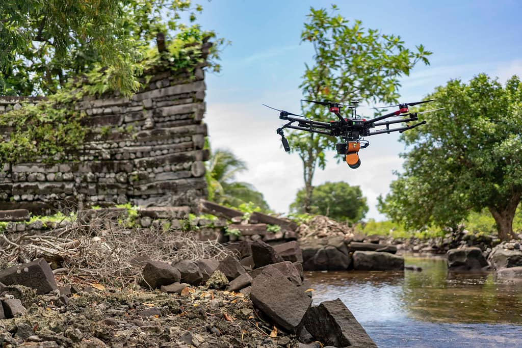
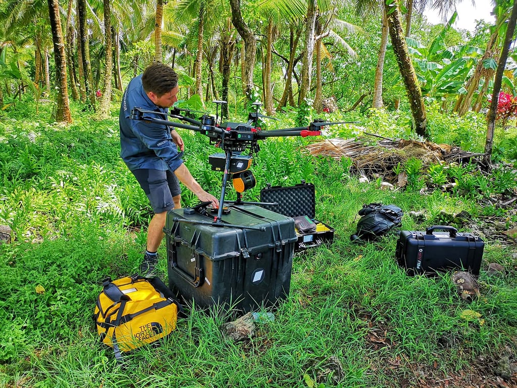
“The GeoSLAM ZEB Horizon provided an affordable solution to a problem that was not possible to solve in any other way. We we’re able to collect data across a tropical rainforest, in which it was impossible to see anything at all of the remains that we we’re trying to recall, and the LiDAR allowed us to penetrate through that tree canopy and to reveal the remains underneath.”
Duncan Lees
3D Scanning Specialist, Visual Skies
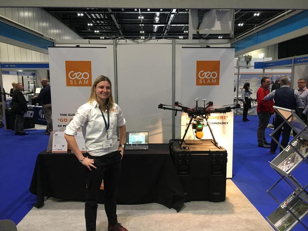
“As a full-service drone provider, we are very happy to work with just one tool for a wide variety of applications and clients. For us, the ZEB Horizon is a key tool in combination with our porter drones for detailed, quick, and precise capturing of any kind of site. The ability to scan indoor, outdoor and from bird’s perspective is game changing. The seamless and easy processing is another big plus!”
Thomas Hechler
BD & Project Manager, LOGXON
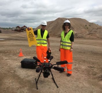
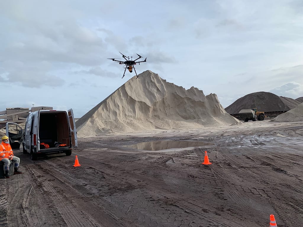
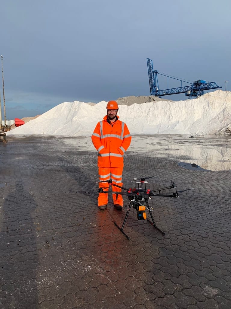
Sample data from UAV SLAM
Click the links below to view UAV SLAM data in our online viewer.
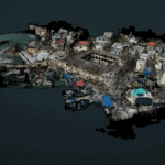
Harbour
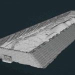
Stockpile
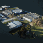
Business Park
See which product the UAV mounts can be paired with
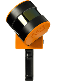
ZEB Horizon
The most flexible of the ZEB family with a range of accessories which makes it suitable for lots of different applications. Can be used to scan indoors and outdoors with a longer range of 100m.
Please note
If pairing the ZEB Horizon with the DJI M300 users will need to purchase an OSDK from DJI or a reseller
If pairing the ZEB Horizon with the Freefly Alta X users will require landing gear, a female toad in the hole mount and a male toad in the hole mount which can be purchased direct from the retailer.
Drones not sold by GeoSLAM.
Want to know more about UAV SLAM?
News
Keep up to date with the latest news and thought leadership from GeoSLAM.
Why is Geospatial Information so Important?
Why is Geospatial Information so Important? Geospatial technology like LiDAR scanners can…
Q&A with Boaz Teixeira
In this Q&A, we speak with Boaz Teixeira, laser scanner specialist at…
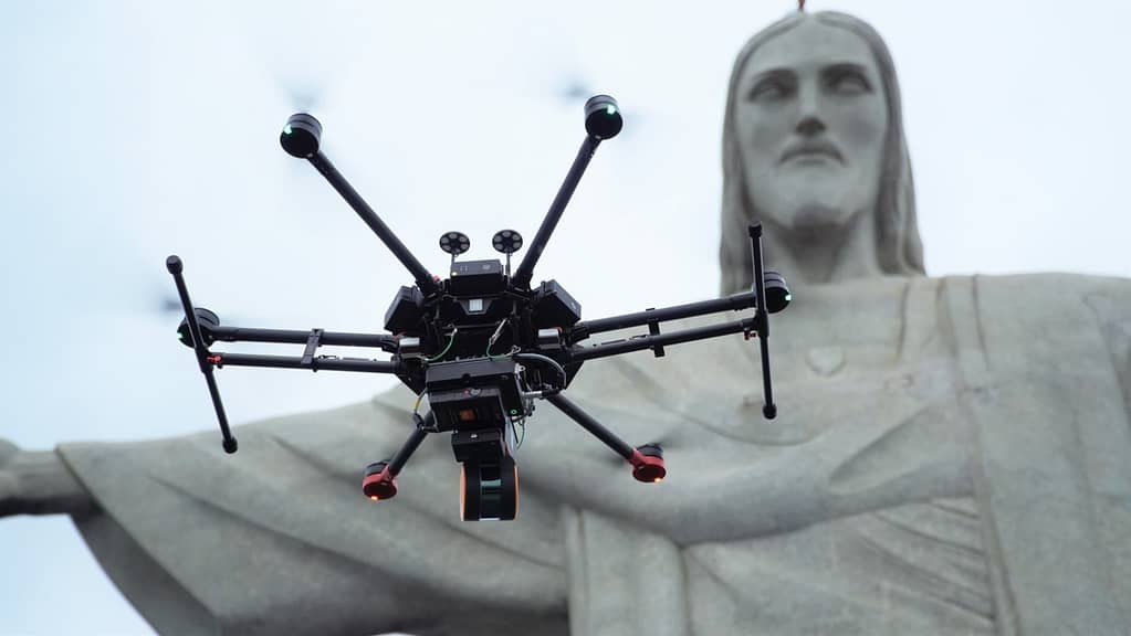
Q&A with Gabriel: Getting the inside scoop on Christ the Redeemer.
Gabriel de Praxedes, our Latin America channel manager, undertook the project of…


