Leading global Mining organisations use GeoSLAM for:
Workflow
From easy to use data capture, to full integration with existing workflows and software.
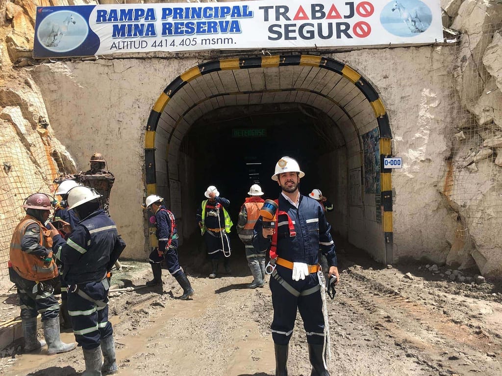
Safety
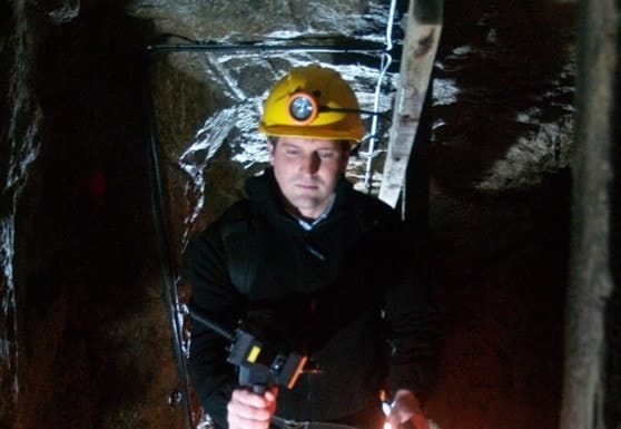
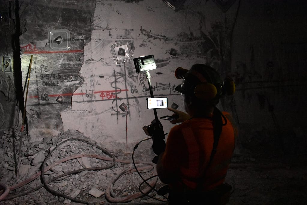
In difficult, demanding and hazardous environments, use SLAM to help achieve your zero-harm targets.

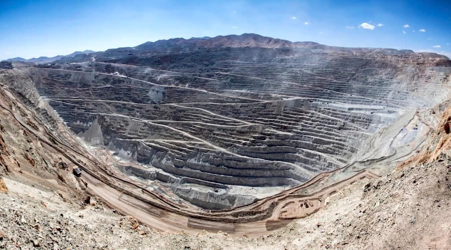
Operational Optimisation
Easy to adopt technology to benefit every part of the production cycle, without the need for a surveyor.
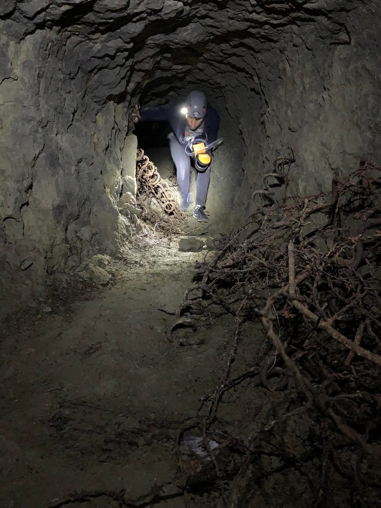
Speed
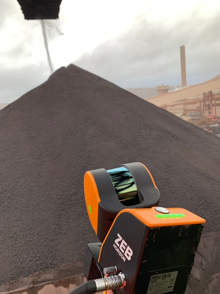
Rapidly and accurately map production environments under intense time pressure, without slow and labour intensive traditional surveying techniques.
Why GeoSLAM?
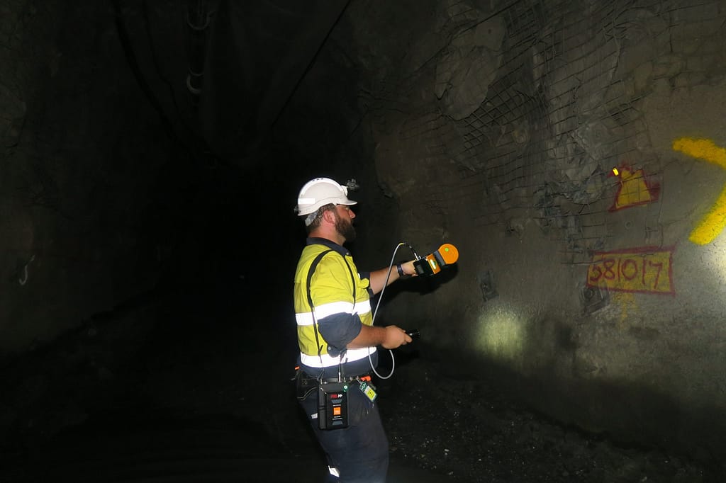
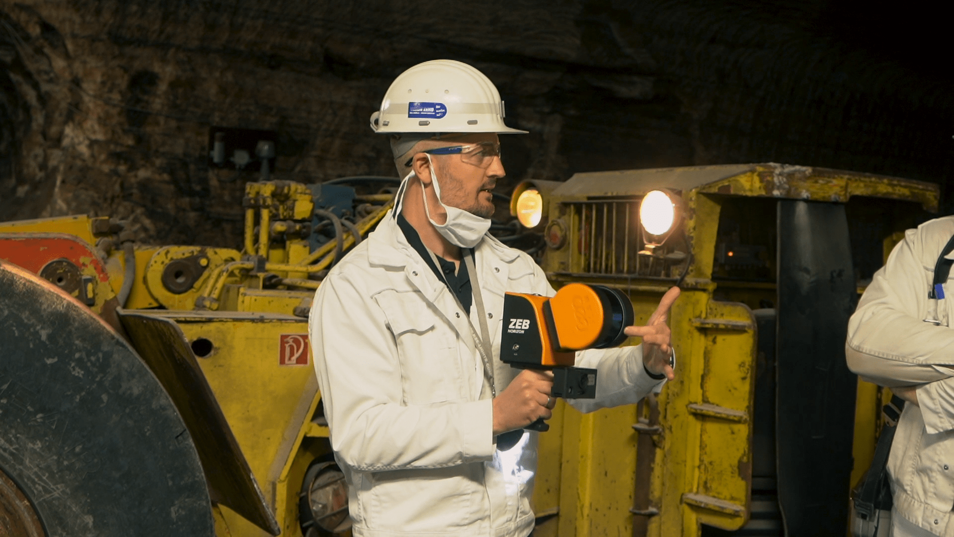
We use ZEB Horizon to expedite surveying, mapping and sampling at Newrange Gold Corp., at the Pamlico project. Systematically scanning the complex, interconnected workings has generated an unprecedented 3D map of the mine workings and has resulted in greater than 50% savings to date over conventional surveying and mapping techniques
Hours
– Robert Carrington, President and Chairman, Newrange Gold-P
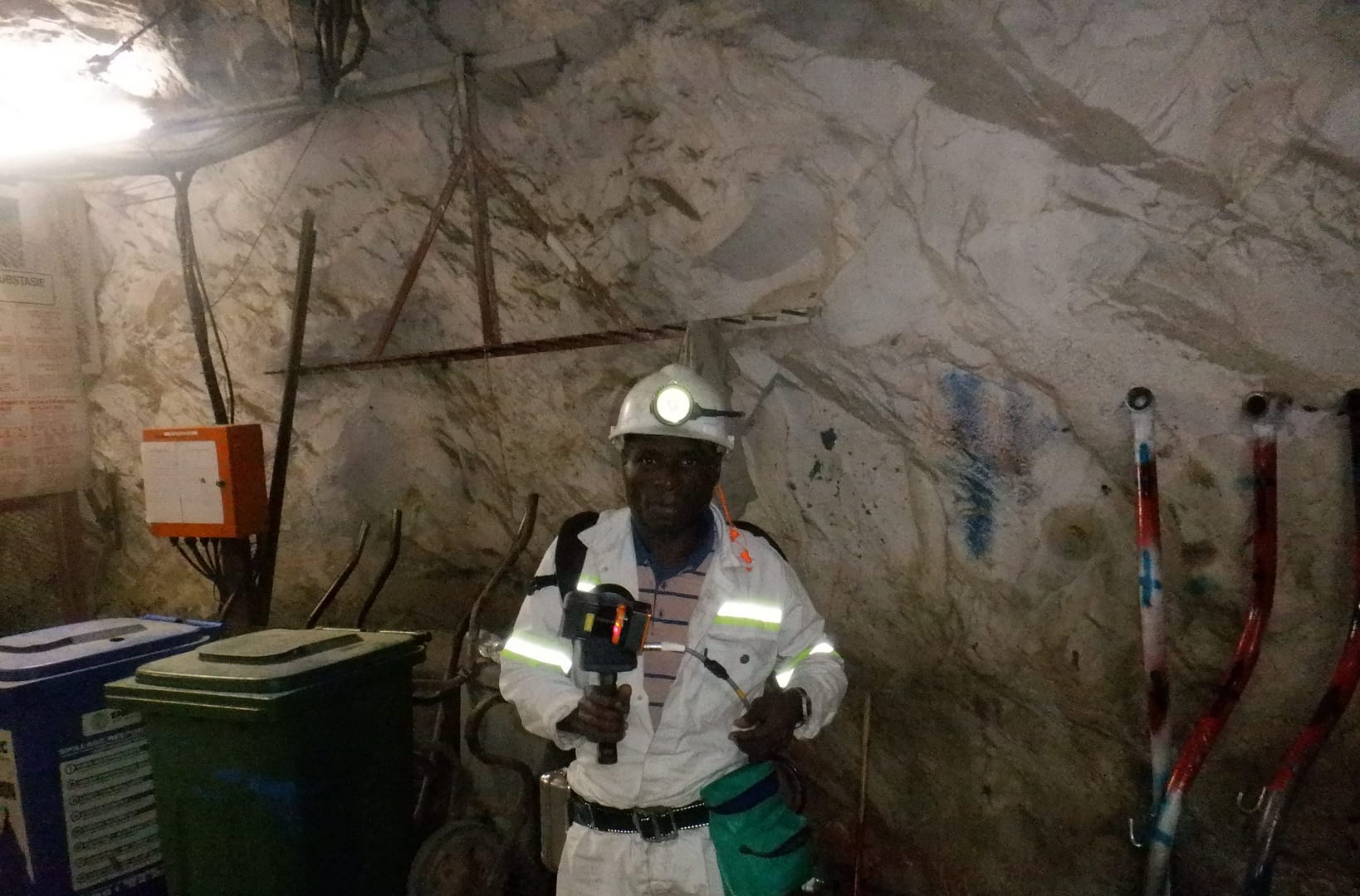
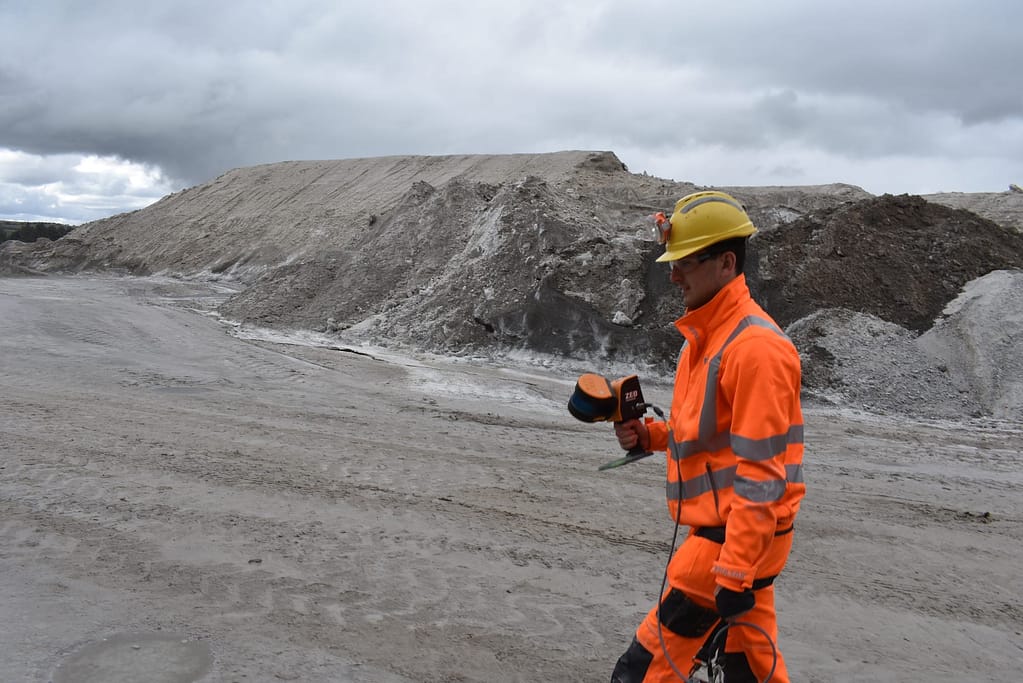
– Pierre Gouws, Mine Surveyor
GeoSLAM for mining in action
See our 3D scanners being used for different applications within the mining industry.


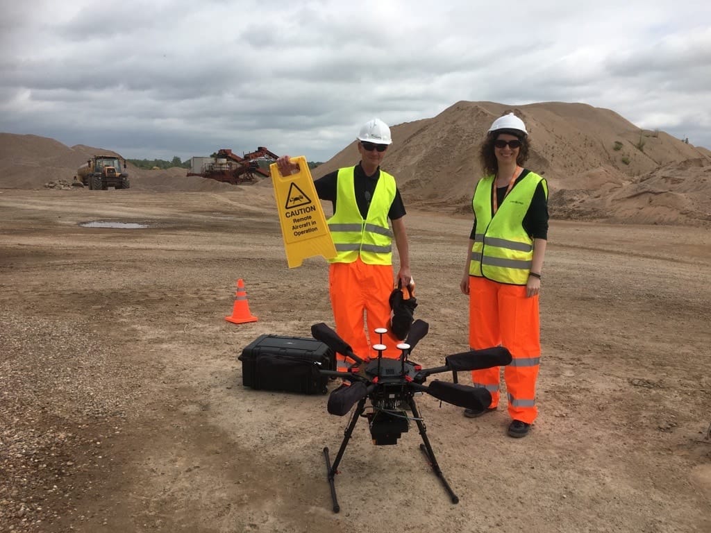
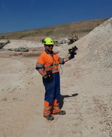
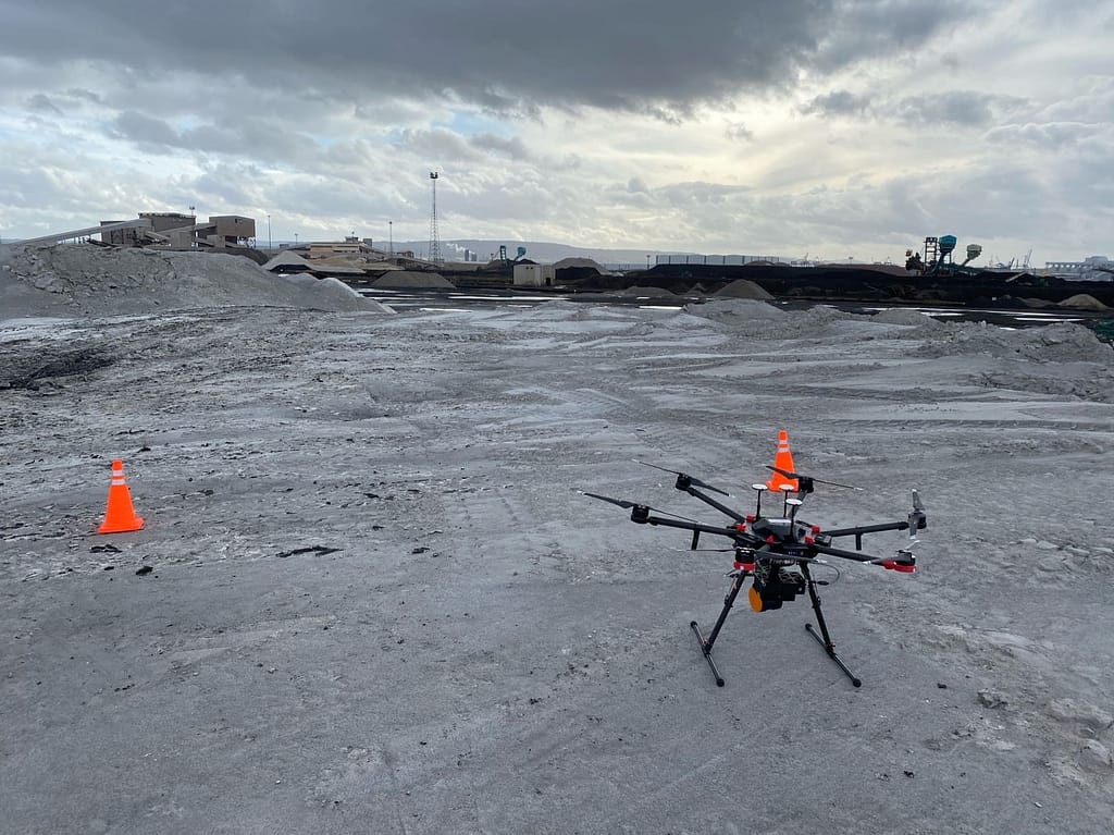
GeoSLAM Mining Case Studies

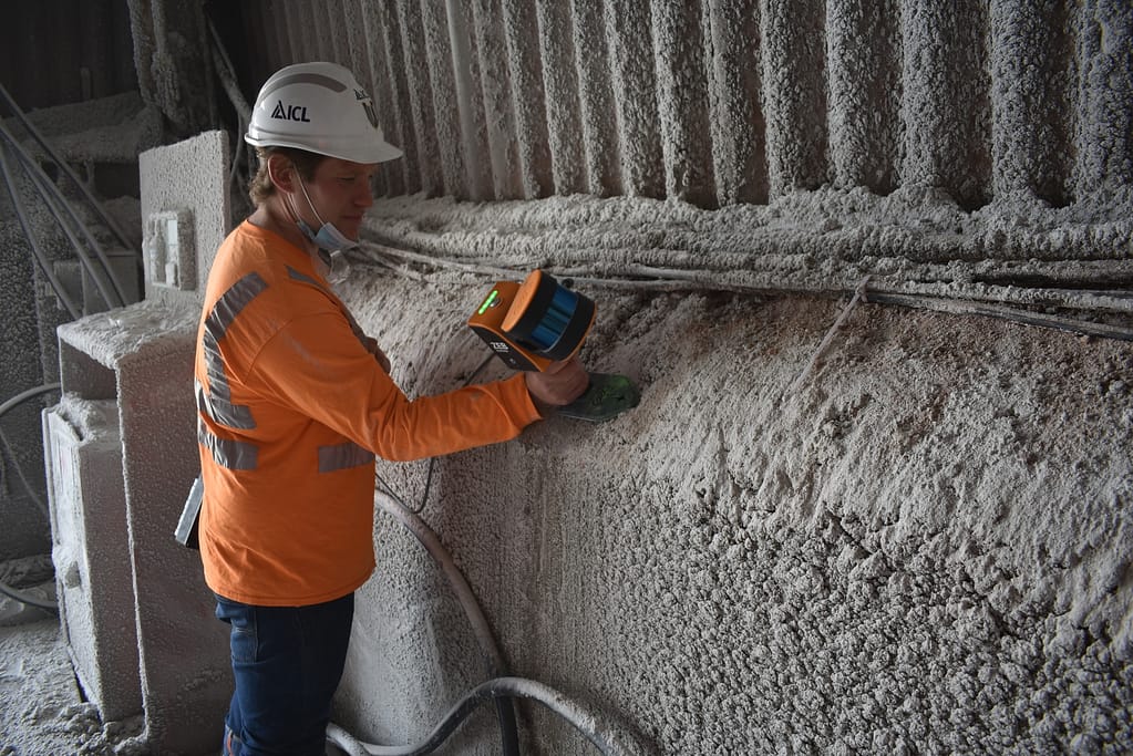
How one of the largest mines in the UK has adopted SLAM technology
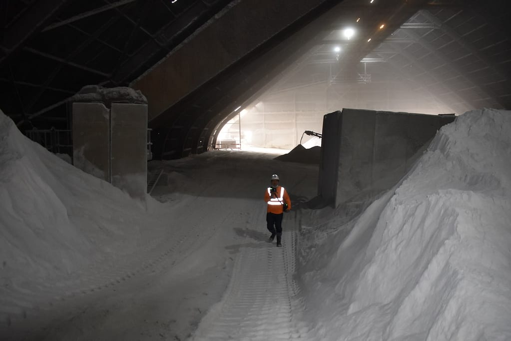
ICL Boulby mine was one of the first mines in the world to adopt SLAM technology, having adopted GeoSLAM’s ZEB1 back in 2013. Now the mine operates ZEB Horizons for most of their survey needs.
What our customers say
‘The ZEB Horizon is a cutting-edge LiDAR scanner that we use to map all the mine tunnels for sampling. It’s a good, cost effective exploration tool for us.’

Robert Carrington
President and Chairman, Newrange Gold
‘In terms of speed and accuracy, this was a real game
changer for us!’

Tina Greenfield
Iowa DOT
‘It’s critical data that
will help us lower the risk to
personnel and keep mines
safer’
David Counter
Kidd mine
Which ZEB laser scanner is right for you?
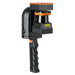
ZEB Go
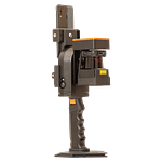
ZEB Revo RT
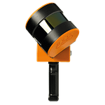
ZEB Horizon
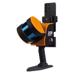
ZEB Horizon RT
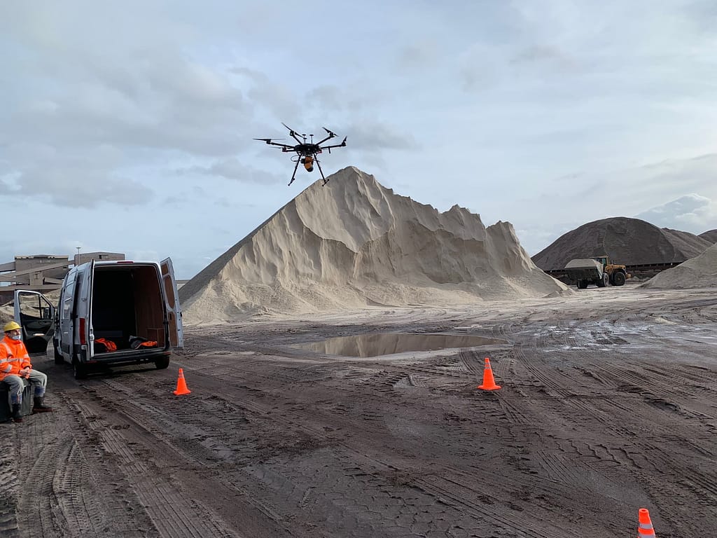
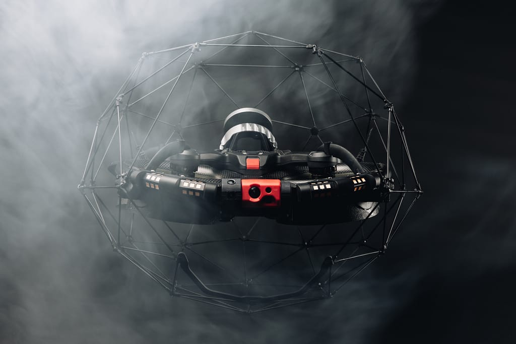
Need to map inaccessible spaces?
Mapping areas that are out of reach or too dangerous for humans to enter is critical yet often impossible. Whether you are in underground mines, surveying inaccessible infrastructure or mapping indoor stockpiles, surveying previously unreachable and dangerous areas is now possible with the Elios 3 Surveying Package from Flyability in partnership with GeoSLAM.
he
Want to know how GeoSLAM can help you?
News
Keep up to date with the latest news and thought leadership from GeoSLAM.
Why is Geospatial Information so Important?
Why is Geospatial Information so Important? Geospatial technology like LiDAR scanners can…
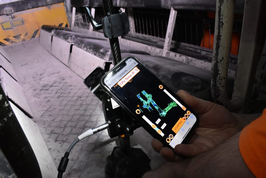
Underground 3D Mapping with handheld SLAM scanners
With the recent introduction and constant evolution of handheld SLAM (Simultaneous Localization…


