Last Updated on 25th April 2022
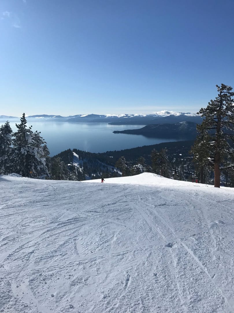
GeoSLAM friend and mapping expert Taylor Handschuh mapped a ski run in Colorado with a ZEB Horizon recently.
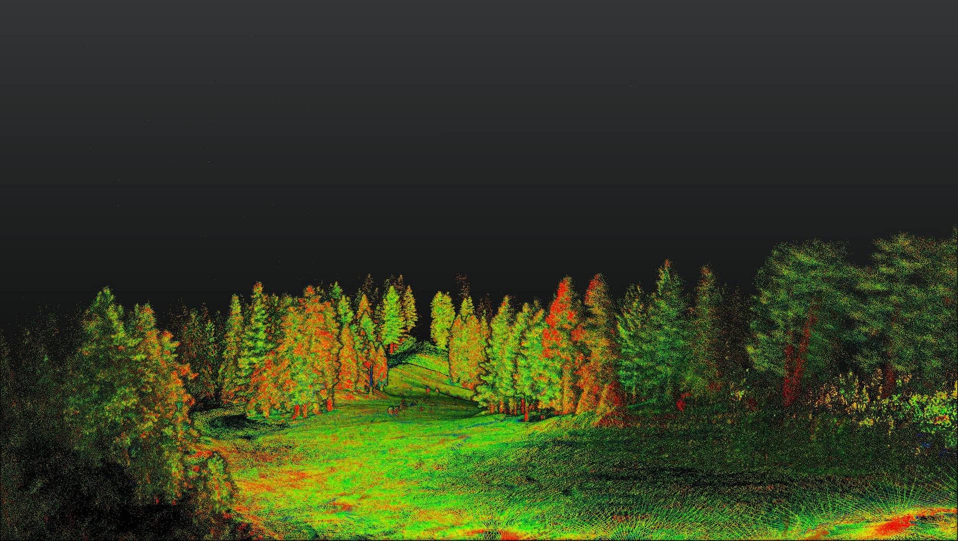
Raw, unfiltered and unedited, this scan was captured in one run with the Horizon excelling in this challenging outdoor environment. Our CT SLAM algorithm relies on feature recognition to build a pointcloud (read more about that here), but these wide pistes proved to be no problem for the device even with Taylor travelling downhill at a good speed.
A snow covered surface can be difficult to accurately scan with a LiDAR device, due to its reflective nature scattering the infrared laser beam and affecting the precision of the device, but the ZEB Horizon captured the whole area accurately and quickly.
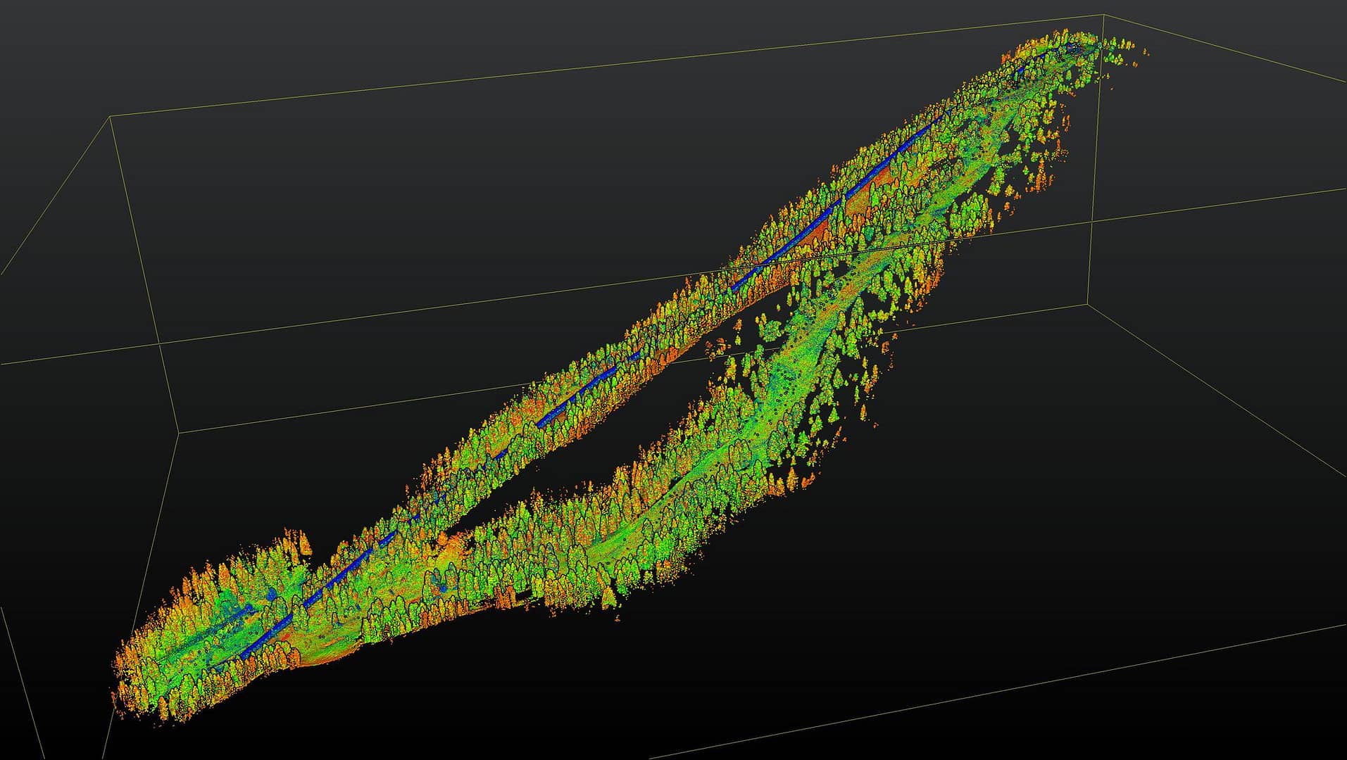
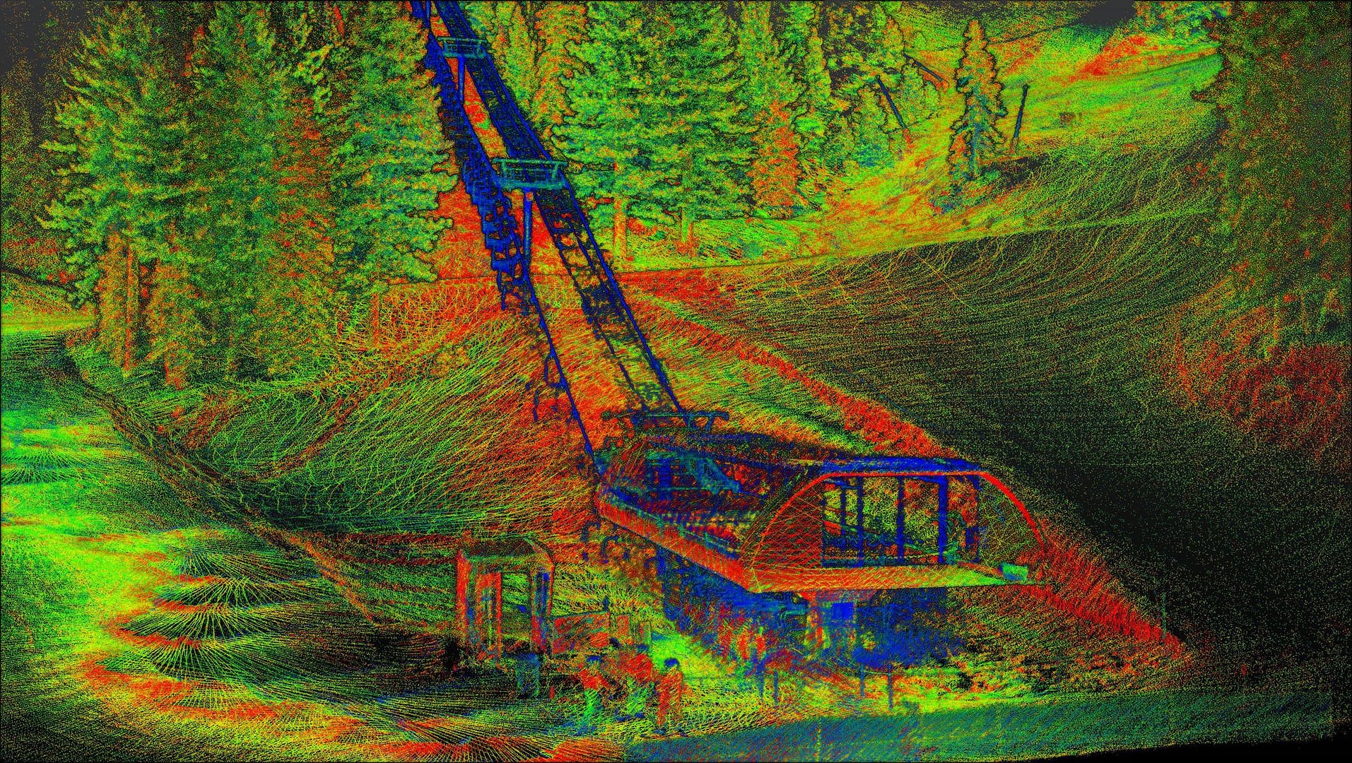
Taylor also rode a chair lift with the ZEB Horizon to map the structure and cabling up the mountainside.
Have you “gone anywhere” interesting with the ZEB Horizon recently? Let us know.
For more information, visit the ZEB Horizon page here or contact us.


