Last Updated on 25th April 2022
The underground world has always captured our imagination and stories abound about secret tunnels and mysterious caves and caverns. Yet for surveyors, mapping them is a different story and is not without its challenges. There are so many obstacles to contend with, including little or no natural light, unpredictable footing, clogging dust, dripping water and thick mud, not to mention the danger of potential rockfall or flooding.
In conditions like these, it is vitally important that surveyors are equipped with survey tools that they can rely on to get the job done quickly and effectively, while affording them the highest level of safety. The development of Simultaneous Localisation and Mapping (SLAM) technology means that survey equipment no longer needs to be static, but instead, can be hand-carried, allowing for a rapid, mobile form of 3D data collection.
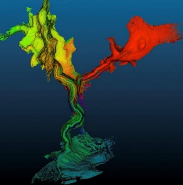
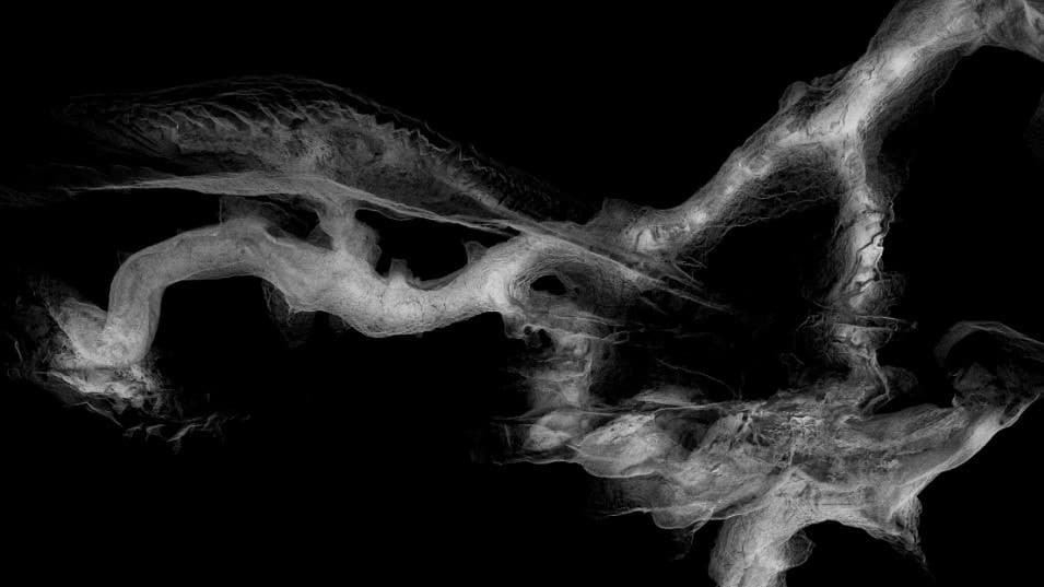
Time-coded section of Megamania captured with the ZEB Revo
Choosing the right survey equipment was a prime consideration when cavers, Nicole Miller and Anna Stewart from Adventure360 set out to explore and survey Megamania, New Zealand’s longest limestone cave. When the two New Zealanders plumbed for the GeoSLAM ZEB Revo mobile scanner, we knew it would give them the mobility and speed they needed to safely scan the cave within a specified time – which traditional survey systems would not have allowed.
With limited time available the surveying had to be fast and easy for the cavers to concentrate on safely navigating the cave system. The lightweight, hand-held ZEB Revo laser scanner with its high IP rating and range of up to 30 metres proved to be the ideal tool. Plus, you don’t have to be a skilled surveyor to operate it. “I got a 30-minute introduction from our local GeoSLAM dealer and was ready to go,” says Nicole. “And I got everything we wanted.”
The Great Wall section of Megamania captured by Anna and Nicole in record time
With the ‘go-anywhere’ ZEB Revo mobile scanner you can access the darkest and dampest of spaces, and the most confined. Also, it’s truly versatile; you simply walk and shoot, or alternatively, it can be attached to a trolley, robot or autonomous vehicle. This allows you to safely scan inaccessible and dangerous spaces, even remote and hazardous areas which might be off-limits to humans. Data capture and modelling are up to 10x faster, allowing you to successfully complete projects in minimum time with little or no disruption, which helps to clear the budget hurdle. Another crucial advantage is that it can be used effectively without needing GPS.


