Last Updated on 25th April 2022
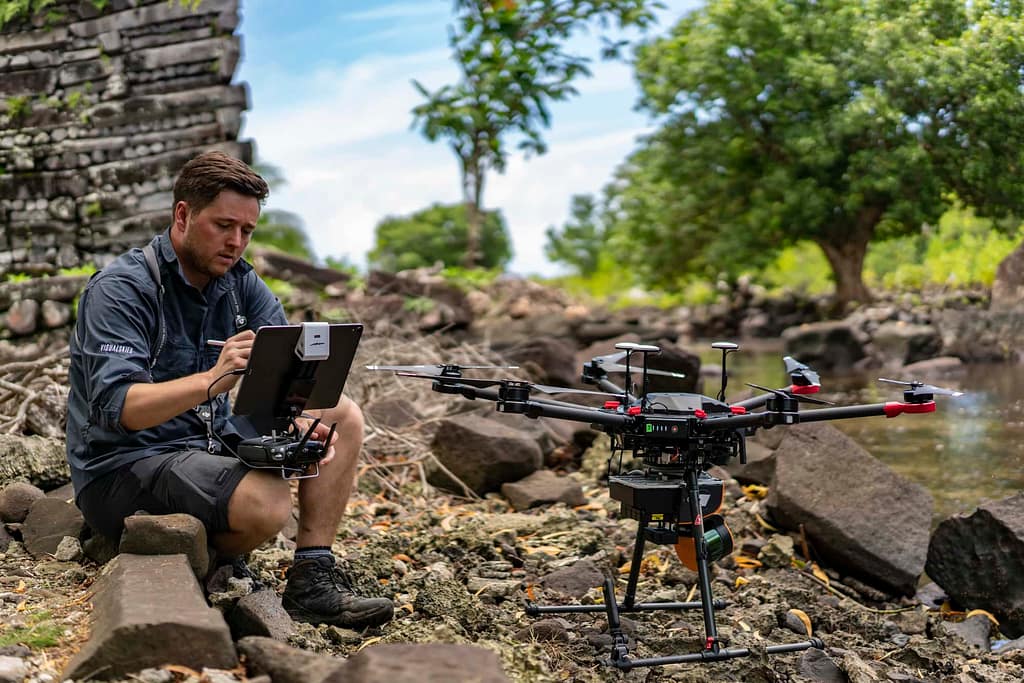
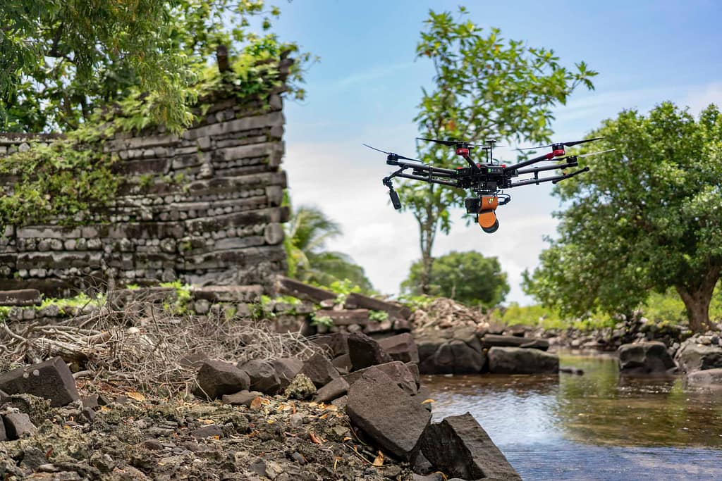
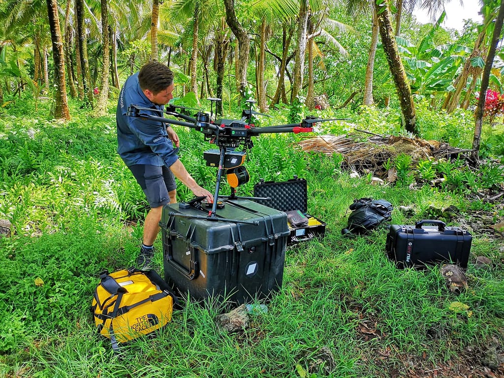
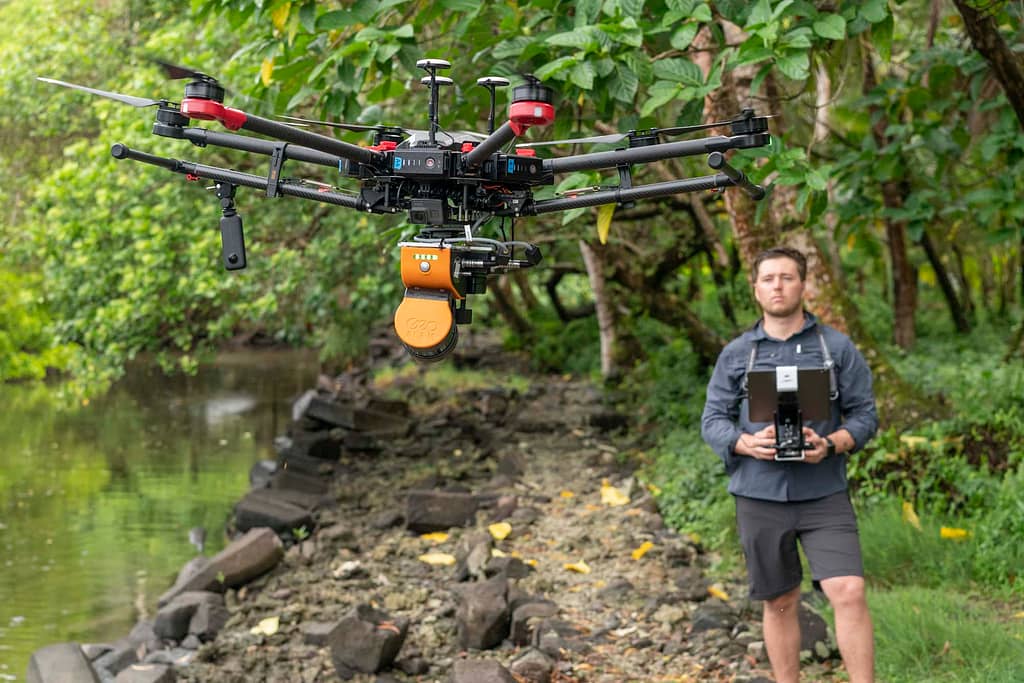
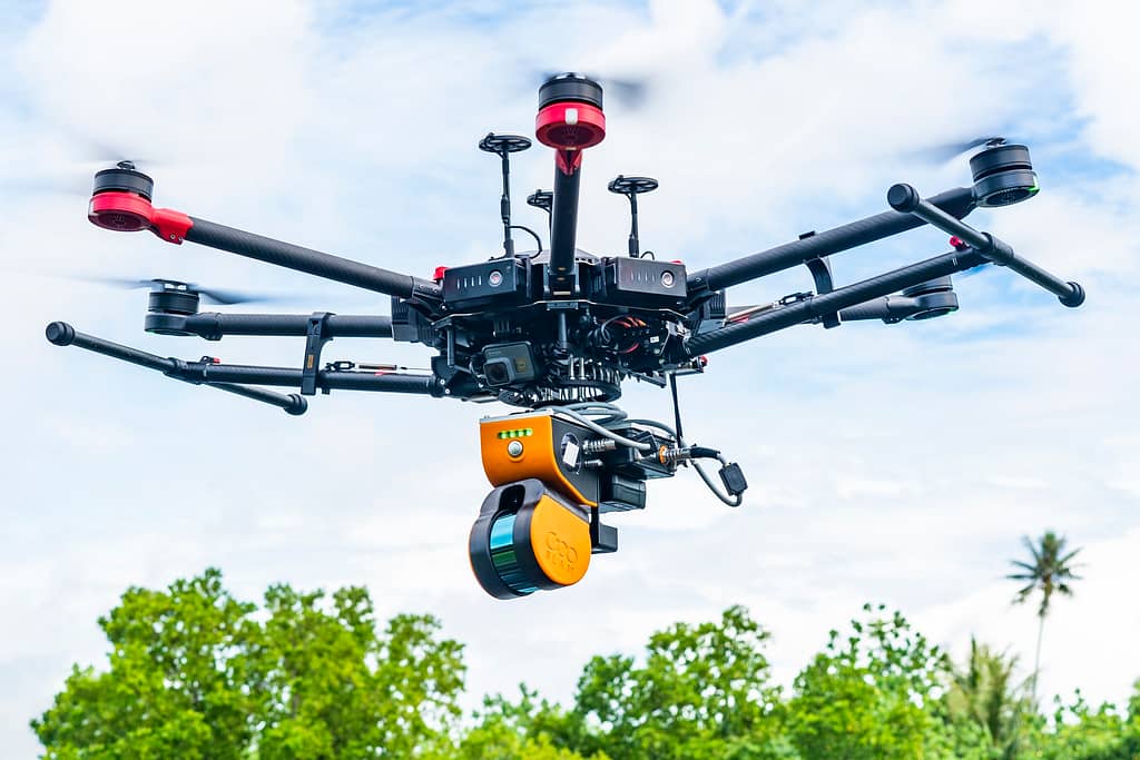
When Visualskies needed to find a way to unearth ancient cities now covered in thick jungle, they chose the ZEB Horizon because of it’s adaptability and the option to mount it to a drone, which was key for this project.
Visualskies are a UK based company that focuses on aerial technology to provide surveying and photographic services for the construction, heritage and film/tv sectors.
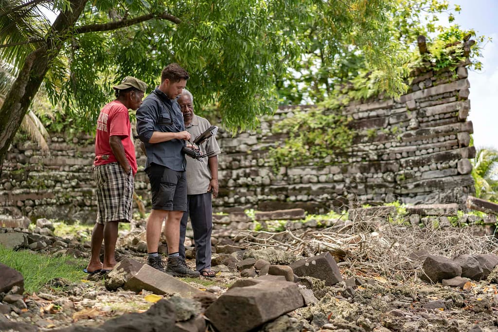
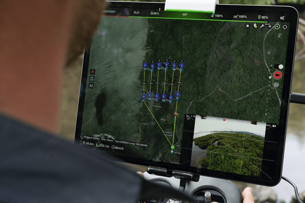
In this video we hear from Duncan Lees, the 3D Scanning Specialist at Visualskies, talking about how the ZEB Horizon was used for capturing data on vegetation in Micronesia. The ZEB Horizon was mounted to a UAV to collect data across a tropical rainforest, to try and recall the remains that were almost impossible to see. The LiDAR scan penetrated through the tree canopy to reveal the remains of the lost city of Nan Madol in it’s digital form.
Duncan has vast experience in all aspects of 3D and provides his expertise in terrestrial LiDAR scanning, cyber scanning, close range laser scanning and photographic services.
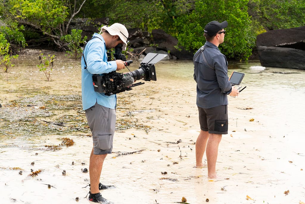
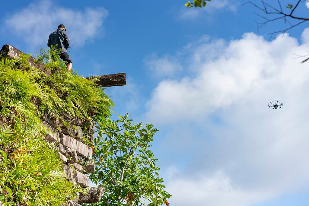
See the team in action