Last Updated on 25th April 2022
The Grand Canyon National Park is a 1,901.972 sq mile square park in the state of Arizona. Most famous for its eponymous gorge, the park is also home to several major ecosystems and serves as an important ecological refuge for protected plant and animal species. The semi-arid landscape of the Grand Canyon National park consists of raised plateaus, structural basins and the Colorado River. This vast landscape is beautiful but can be equally unforgiving as some members of the GeoSLAM team encountered on a recent project. Arriving at Maricopa Point in poor weather conditions, Applications Engineers Ivona Hubova and Michael Ng had a tough job on their hands capturing data on a foggy, overcast morning.
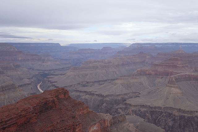
Foreboding but beautiful on a misty morning, the Grand Canyon
For this scan the ZEB Horizon was deployed with the ZEB Discovery mount, combining our industry leading SLAM algorithm with the NCTech iStar Pulsar camera for ultra-high definition panoramic photography. There are several different mounting options for the ZEB Horizon, including vehicle and UAV – one ZEB Horizon can easily be switched between each using our simple click and go technology.


