Last Updated on 25th April 2022
GeoSLAM Hub 6.1 is here
We’re pleased to announce the latest release of our intelligent pointcloud processing software, GeoSLAM Hub.
Hub version 6.1 is packed full of new features and in this blog, we’ll take a closer look at what’s new, including the highly anticipated release of Adjust to Control functionality.
What’s new in Hub 6.1?
As well as Adjust to Control, Hub 6.1 includes a new version of GeoSLAM Draw plus improvements in processing, new parameters and bug fixes. With any release of our software, as always we have listened to our customers and have improved user experience as well as delivering these new and exciting features.
Adjust to Control
With a valid GeoSLAM Care package, users of Hub now benefit from the Adjust to Control (A2C) feature. Using a reference base, which is now shipped as standard with any new ZEB order, users can mark control points while scanning and then import these into Hub. There are two types of transformation/adjustment – rigid and non-rigid.
Reference base
To capture a control point while scanning, the scanner needs to be positioned upright and kept stationary for a period of 10 seconds. The stationary periods are automatically detected during data processing and time, coordinates and orientation data for each stationary period is recorded as a Reference Point.
The user then needs to enter the coordinates for the detected control points (either imported from a file or manually) and choose to perform either a rigid transformation or a non-rigid adjustment.
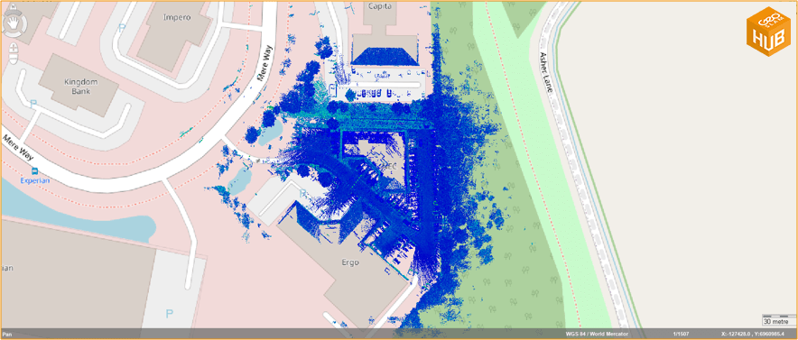
Exported data in coordinate system
An altered scan will then be produced which fits the dataset to the known control points. This process takes just a few minutes and once complete this scan can be exported along with trajectory details and accuracy report of required.
GeoSLAM Draw v3.5
GeoSLAM Draw version 3.5 includes improvements to data processing as well as bug fixes.
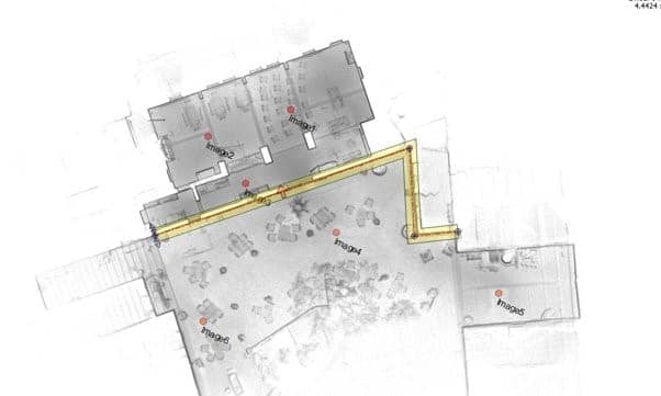
Viewing images captured with ZEB Pano is now made easier, with angle directions for each panoramic shot and the option to easily switch from planar to bubble views.
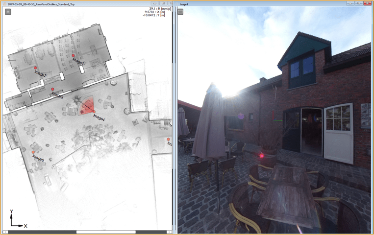
Viewing panoramic images
Improvements have been made to the vectorization functionality within Draw, users can now snap lines to the closest vertex by holding “Alt” and it is now possible to vectorize in polygonal sections.
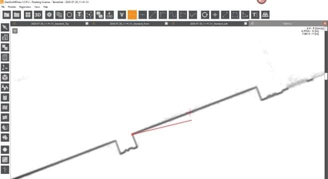
Snap lines to the closest vertex
Polygonal sections
GeoSLAM Draw now also supports point cloud export for Bentley (.POD files) and SEMA (*.spw files).
Improvements in processing and new parameters
Available for ZEB Horizon datasets only, users can now optimise the laser position setting – this optimises the transformation between the mount and the laser.
“I’m very excited to see this new release in the hands of our users” says Joanna Setkowicz, Senior Applications Engineer at GeoSLAM “it is the culmination of a lot of hard work from our product and development team and I think our clients will really benefit from the Adjust to Control feature. It’s great to see that we are supporting customers with this by shipping reference bases with any new ZEB products ordered.”
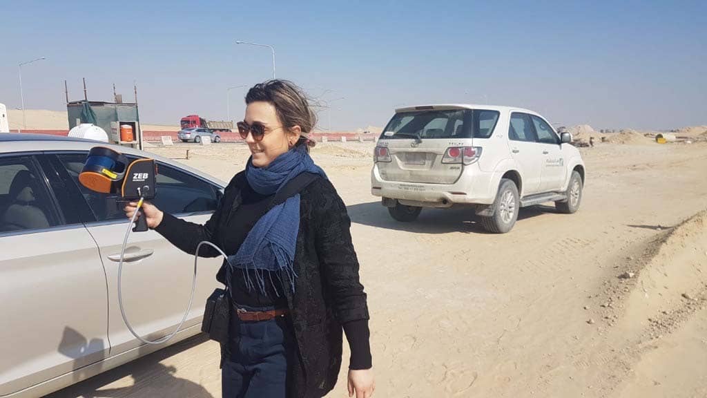
Joanna scanning in Saudi Arabia on a recent visit
For more user guides, technical information and more visit GeoSLAM Academy – anybody can register with a valid serial number.
To download GeoSLAM Hub visit our Support page here.


