Stockpile Volumes Measurement Made Easy
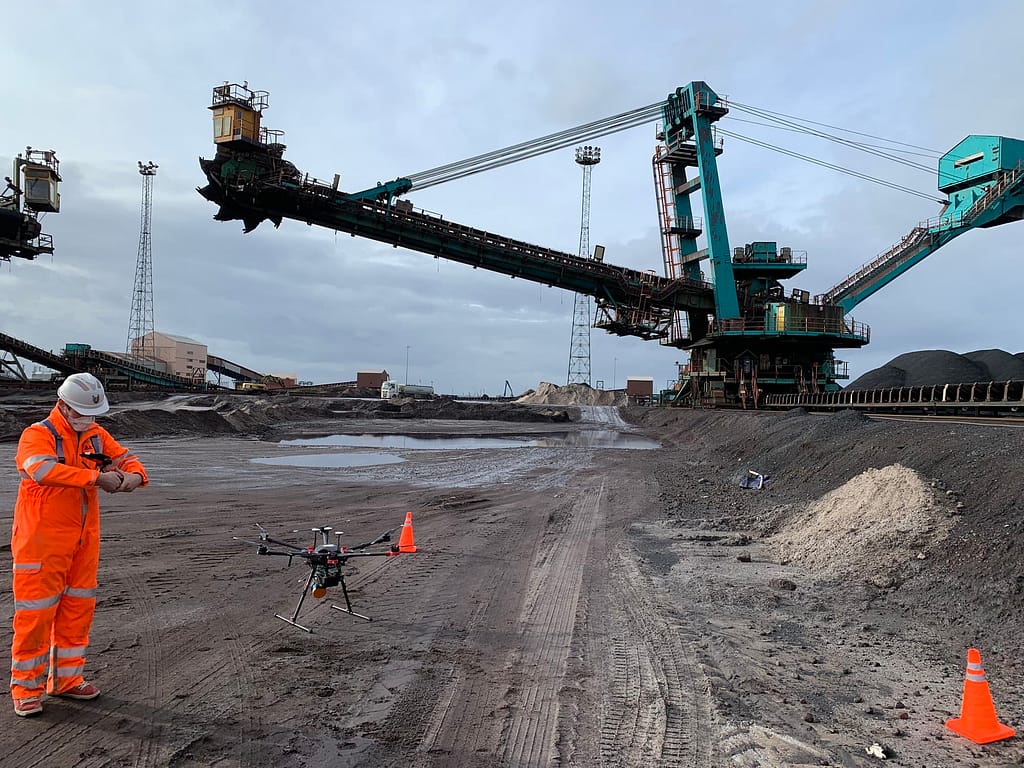
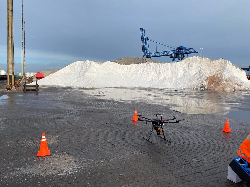
Determine accurate stockpile volumes measurements, silo reserves or mining tempos, without the need for GPS. Walk and scan, or attach the scanner to a trolley, drone, pole, UAV or vehicle for remote monitoring of hazardous environments. GeoSLAM Volumes software then instantly turns data into actionable 3D information for rapid real-time decision making.
Why use GeoSLAM for Stockpile Volumes Surveys?
Easy, safe and quick stockpile volumes and tonnage calculation using SLAM technology.
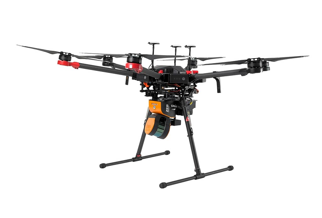
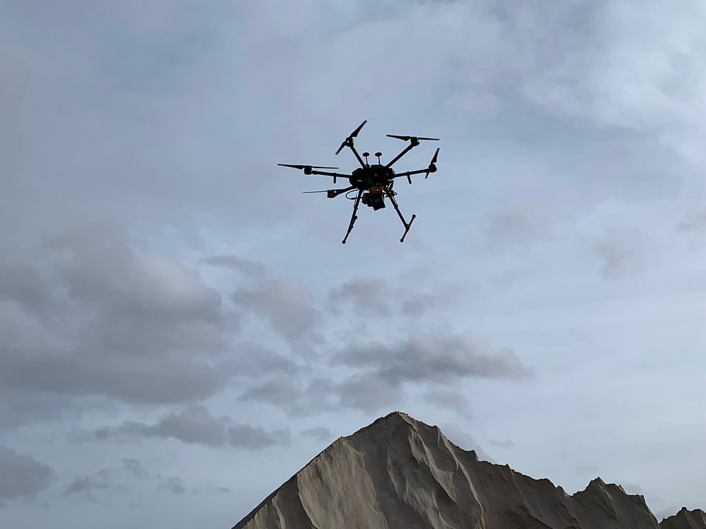
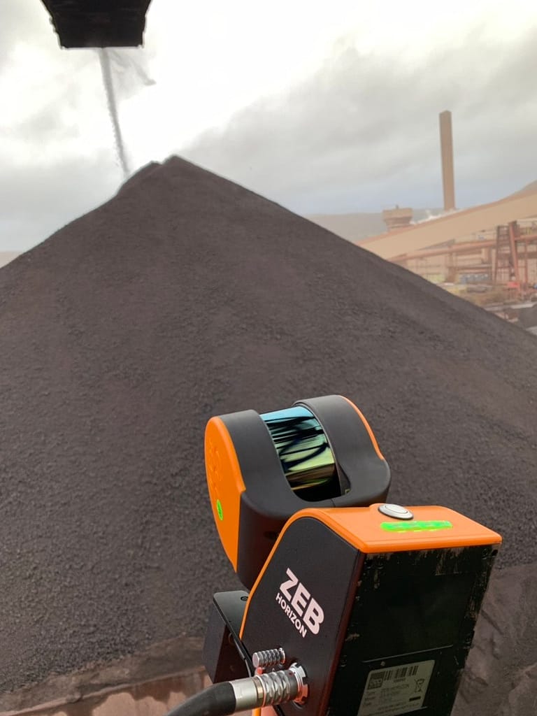
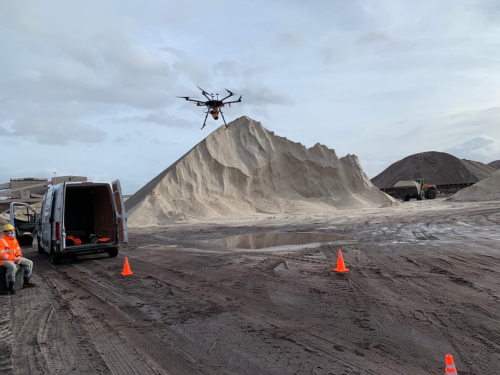
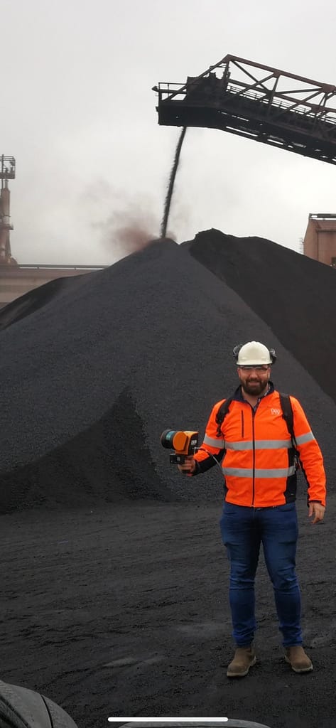
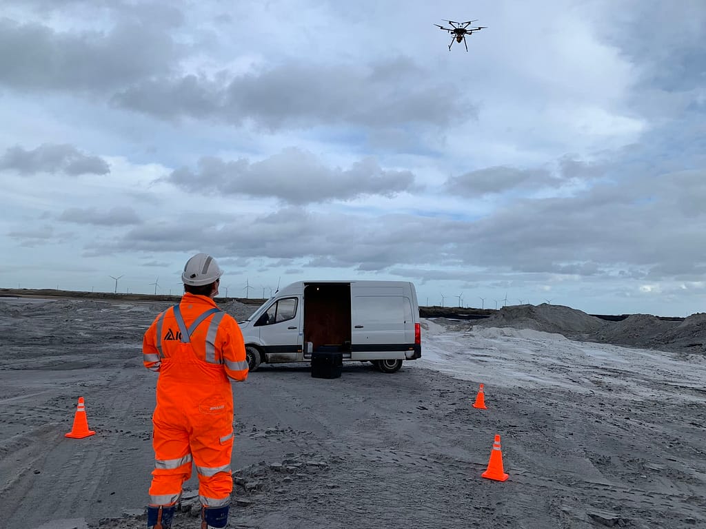
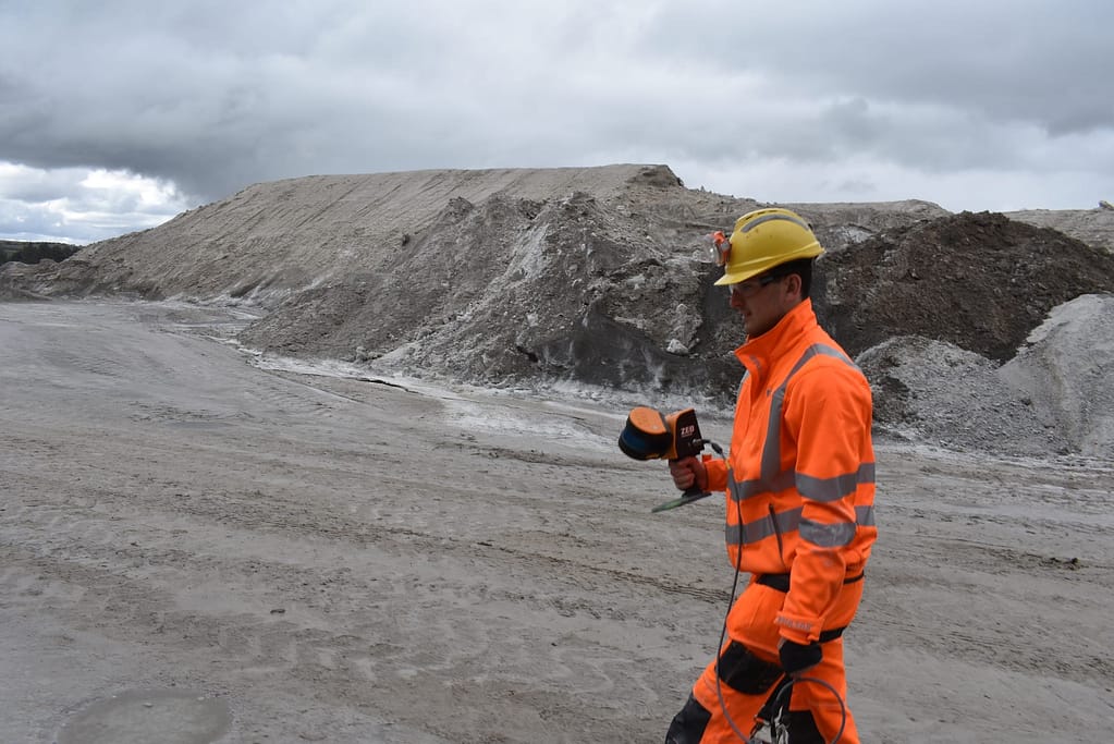
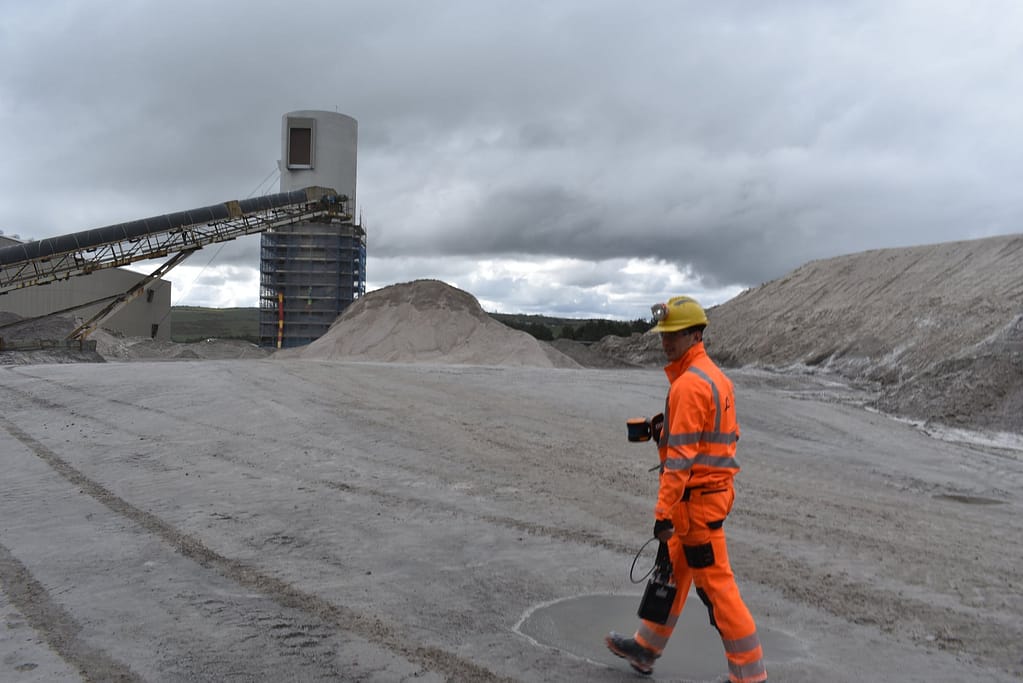
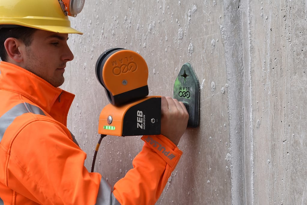
Use your ZEB handheld or mounted to a UAV to capture data as frequently as you need to get accurate volumetric insight.
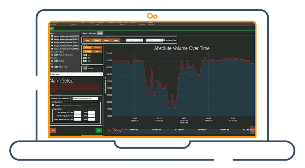
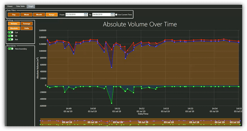
Track stockpile inventory, volume change over time, and set alarms when your stockpile reaches min/max tonnage, volume or height.
The entire workflow is fast, easy and gives you essential information for managing your mine operations, projects and supply chain.
Why GeoSLAM?

“Go-anywhere” scanning –
Opening up areas ordinarily off-limits
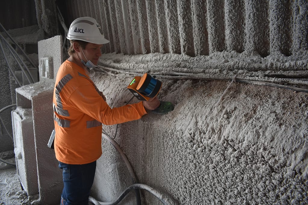
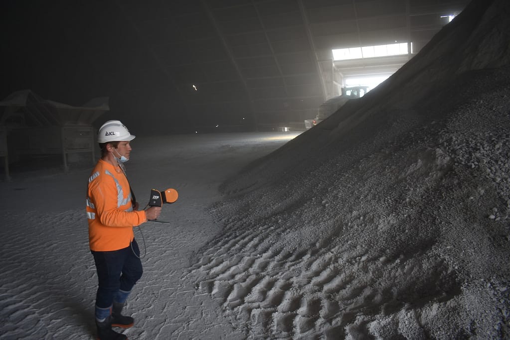
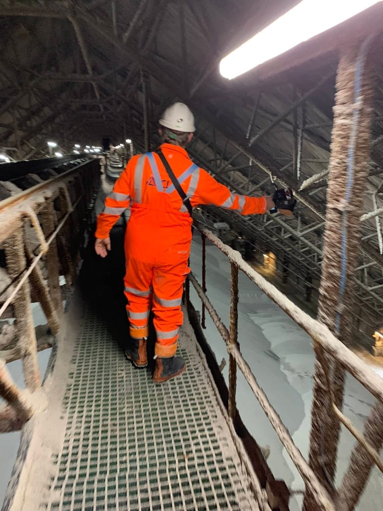
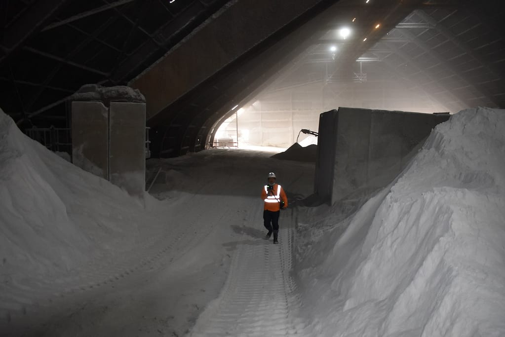
Our fully-mobile technology is adaptable to any environment, especially complex spaces, without the need for GPS. Our laser scanners are lightweight and easy to use – you can walk with the handheld and survey accessible areas, or attach it to a trolley, drone, pole or vehicle for more confined or hazardous spaces.
Save time and money –
Manage stock inventory with confidence
You can capture and calculate complex data up to 10 times faster than traditional tools, with little or no disruption at the site. Slash survey times, increase measuring frequency and drive down costs. With GeoSLAM Volumes you can verify stockpile volume calculation
at all stages of the supply chain as frequently as necessary.

Trained in minutes, scanning in minutes
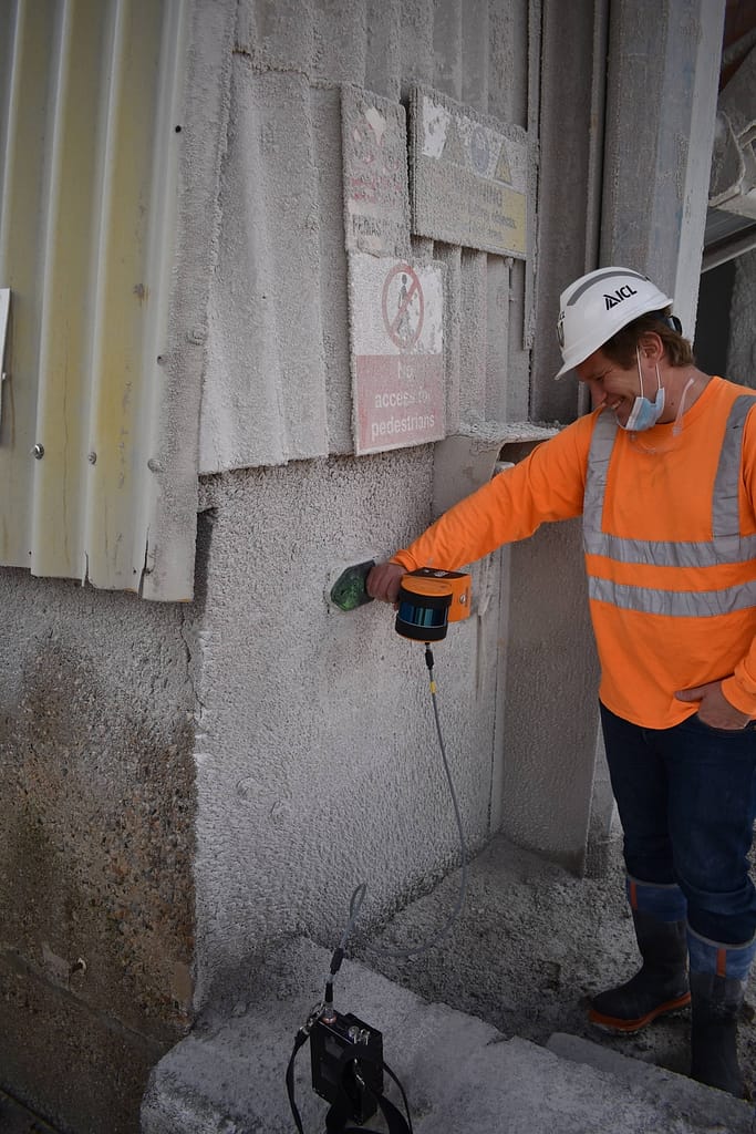
Our lightweight, mobile scanners are user-friendly to the extent that they can be used without comprehensive training by anyone in building an accurate 3D model in the quickest time possible. Within minutes anyone can be operating the technology, saving additional preparation time for any members of staff previously unfamiliar with the technology.
How do you calculate stockpile volumes?
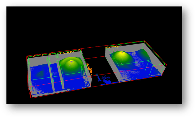
To calculate stockpile volume measurements use GeoSLAM stockpile volume measurement equipment combined with our Volumes software to deliver important information, rapidly. We’ve broken it down into 4 easy steps – Capture, Processing, View and Manage. Capture your point cloud data using our hardware, Process it using GeoSLAM Connect and Volumes calculation software. View the data and Manage it with regular stockpile volume measurement reports.
1. Capture
Easily walk around the perimeter with your ZEB scanner or attach it to UAV to fly over a stockpile.

2. Processing
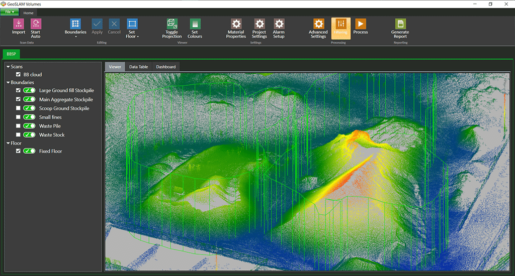
Transfer the point cloud data to a computer and upload to our Connect software to be automatically processed then load the data to the Volumes software.

3. View
Define the boundaries and the floor, enter the bulk factor and specific gravity to view volume and material tonnage calculations in seconds.
4. Manage
Generate stockpile volume measurement reports as and when you need them.
GeoSLAM for mining in action
See our 3D scanners being used for collecting data for calculating stockpile volumes.


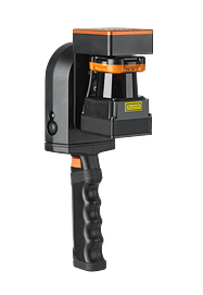
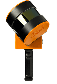
Which ZEB laser scanner is right for you?
Choose one of the following scanners to pair with our Volumes software.
ZEB Go
Used mostly for scanning indoors or in underground mines and caves with an IP64 rating. Can be used outdoors and has a range of 30m.
ZEB Horizon
The most flexible of the ZEB family with a range of accessories. Can be used to scan indoors and outdoors with a longer range of 100m.
Want to know more about using GeoSLAM for Stockpile Volumes?
News
Keep up to date with the latest news and thought leadership from GeoSLAM.
Why is Geospatial Information so Important?
Why is Geospatial Information so Important? Geospatial technology like LiDAR scanners can…
Underground 3D Mapping with handheld SLAM scanners
With the recent introduction and constant evolution of handheld SLAM (Simultaneous Localization…


