Leading global organisations use GeoSLAM for forest management to:
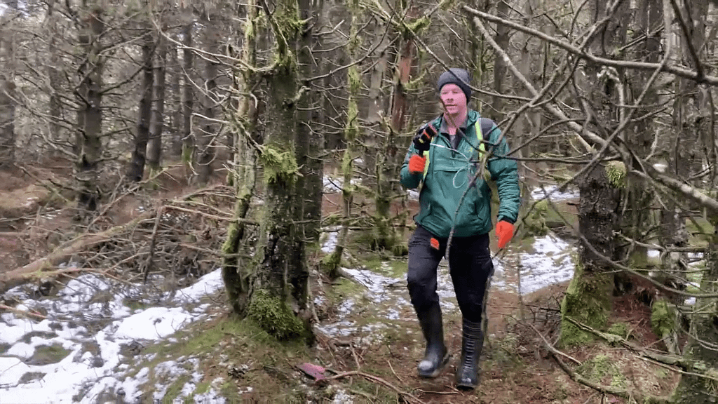
Map the inaccessible
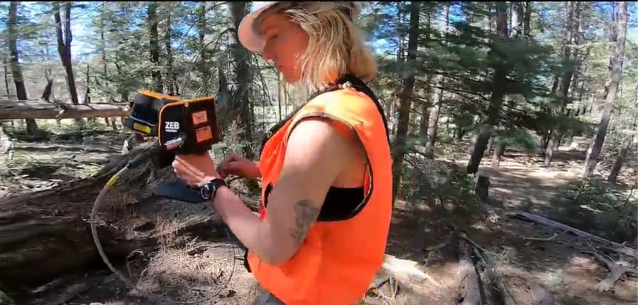
ZEB systems can be used without GNSS, making it easier to map hard-to-reach areas.

Adaptable to any environment
Use the system on a UAV for above the canopy, and handheld to scan the forest floor. Datasets can be merged in GeoSLAM Connect for full representation of the space.

Quicker results for data collection
No need to connect to the cloud to process data – this can all be done on your local machine on site to ensure the entire area is captured correctly.

User friendly
It’s possible to cover large areas quickly with no registration or individual scanner setup. This eliminates the need for registration in post processing and can save time in the field.
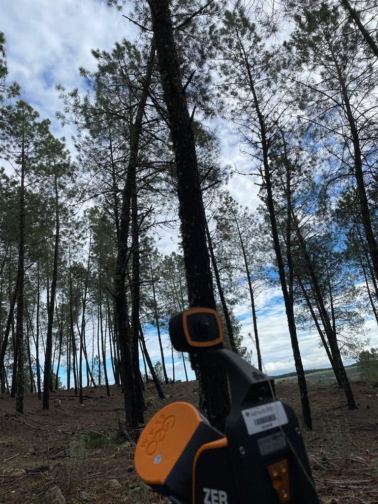
How can GeoSLAM be applied to forest mapping?
Case Study
Bringing Norway’s forestry sector to the forefront of digitisation
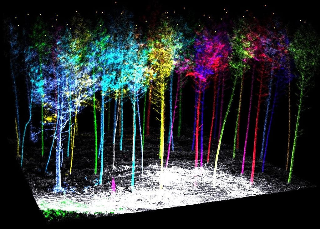
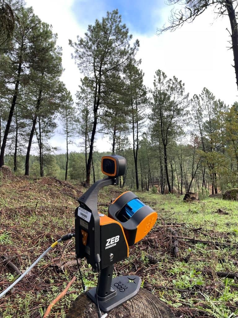
SFI SmartForest chose GeoSLAM’s ZEB Horizon to scan the dense and rough terrain. It enabled the team to quickly capture large volumes of data from the ground and from the air, collecting highly accurate datasets and creating point cloud models to extract features including wood quality and biomass.
Following a successful initial period, the research programme will continue to use the mobile scanner to create accurate point clouds which serve as the basis for deep learning research opportunities.
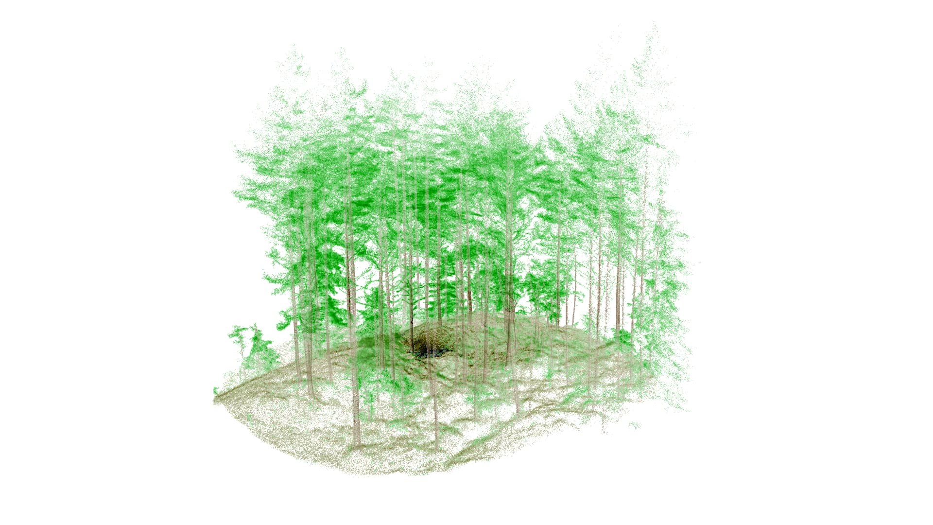
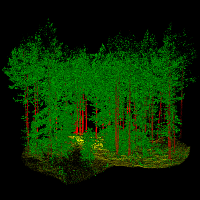
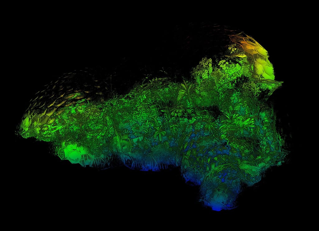
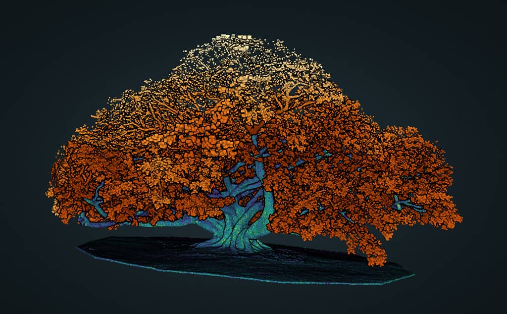
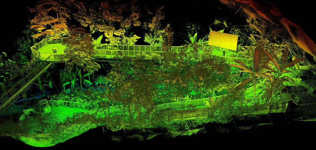
Sample data from our ZEB Horizon handheld scanner
Whitepaper
How LiDAR mapping in forestry is becoming an essential tool
Read our latest blog to learn about practical applications that range from providing data to aid precision forestry or forest mapping, to biodiversity applications such as pollution modelling and to assist carbon absorption estimations.
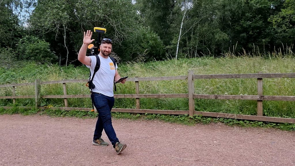
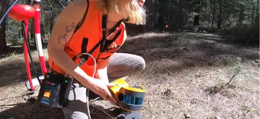
GeoSLAM in action for forest management
‘Scanning with the ZEB Horizon is a very efficient way to collect ground truth. Eventually, we want to use it for large-scale mapping applications.’
‘The ZEB Horizon captures forestry data more accurately than traditional methods and eight times faster.’
Case Studies


Which ZEB is right for you?
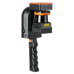
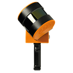
ZEB Go
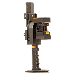
ZEB Revo RT
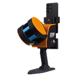
ZEB Horizon
ZEB Horizon RT
Want to know how GeoSLAM can help you?
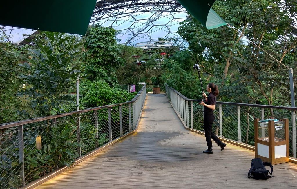
News
Keep up to date with the latest news and thought leadership from GeoSLAM.
Generating efficient construction site surveys with mobile LiDAR
Generating efficient construction site surveys with mobile LiDAR Mobile LiDAR technology has…
Boosting efficiency with mobile LiDAR for urban planning
Boosting efficiency with mobile LiDAR for urban planning Over 50% of the…
Enhancing emergency planning using risk assessment tools like mobile LiDAR
Enhancing emergency planning using risk assessment tools like mobile LiDAR Modern day…


