Skip to content

SLAM

How do you colourise a point cloud?

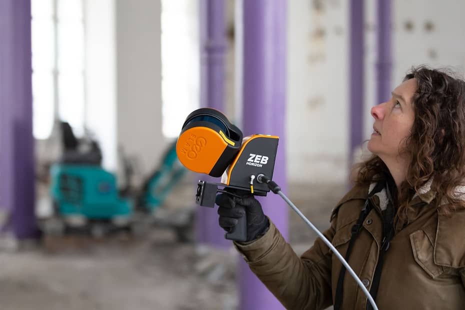
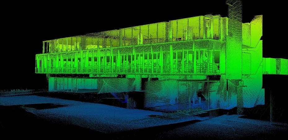
With ever-increasing research and development in the technology, the advances in both scanning hardware and processing software are improving the detail, scale and use of point cloud data. One of these improvements is colourisation. Adding colour has plenty of benefits when viewing and analysing point cloud data.

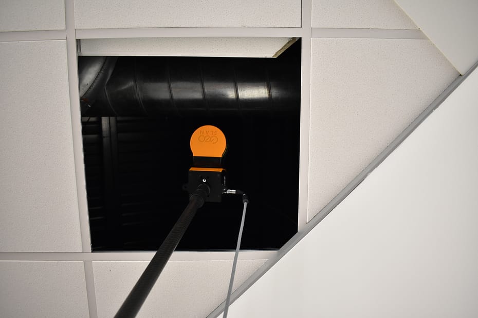
Scanning behind a dropped ceiling using mobile LiDAR

Surveying buildings is difficult and accessing hard to reach areas, like dropped ceiling or raised floors, without disrupting business can be seemingly impossible. In this blog we’ll discuss how SLAM and LiDAR technology has made scanning behind dropped ceilings a simple process.

One scanner, many solutions

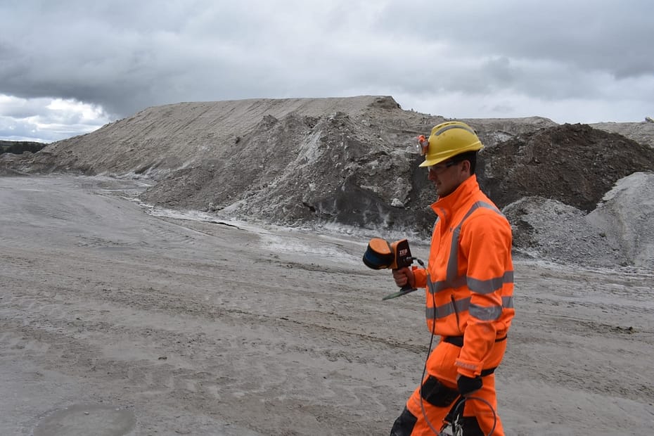
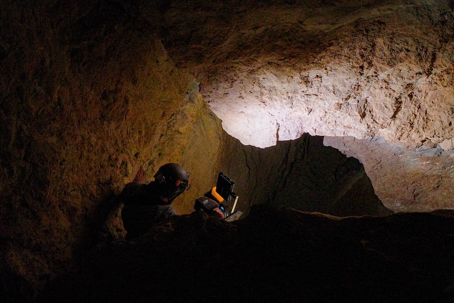
Boulby mine was one of the first in the world to use SLAM technology, having adopted GeoSLAM’s ZEB1 into their workflow, in 2013. Nowadays, the mine operates GeoSLAM ZEB Horizons for most of their survey needs.

Where in the World is LiDAR Being Used? Top 6 Uses from 2021

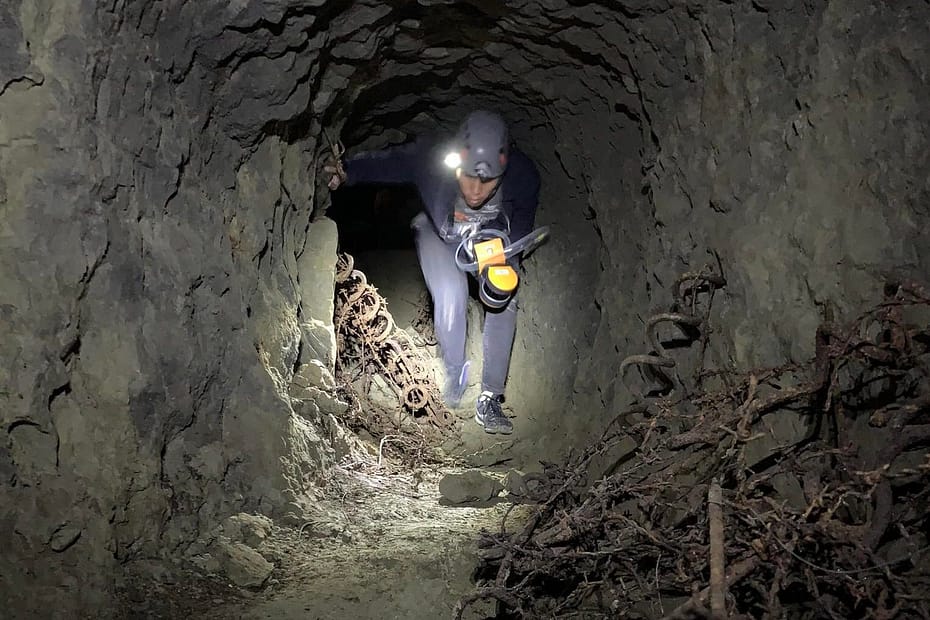
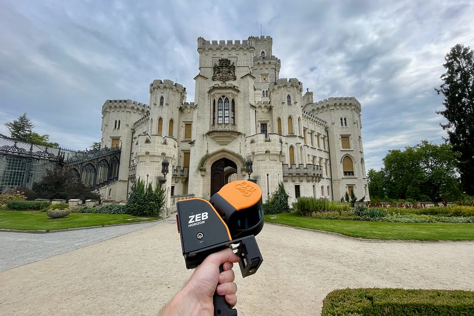
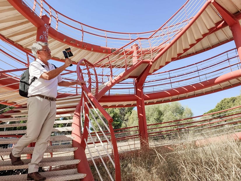
With increasing awareness of LiDAR technology, its applications are becoming more diverse. From helping to prevent natural disasters to mapping historic caves and restoring architectural wonders, our ZEB laser scanners have been involved in a range of interesting projects over the past 12 months.

Laser Scanning in Southern California

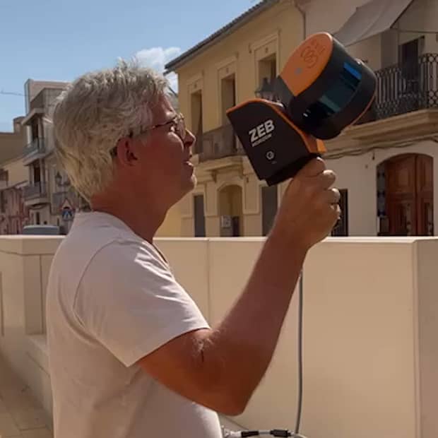
SLAM scanning is becoming more commonplace in the surveying industry due to the ease of use, accuracy, and versatility of the handheld devices. As the technology continues to grow, so do the benefits of handheld scanning compared to traditional means of capturing the measurements of a building. Documenting large spaces is now as simple as walking around the property to capture a pointcloud, saving both time and money for surveyors and their clients.